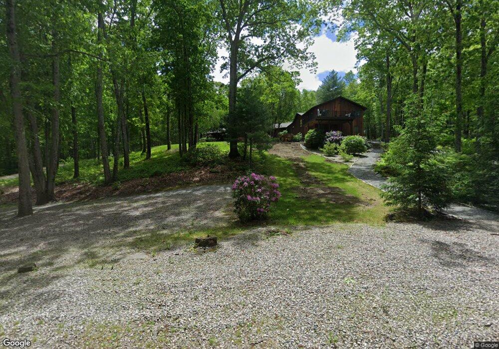
34 Mountain Laurel Ln North Scituate, RI 02857
Estimated Value: $767,000 - $1,050,000
4
Beds
3
Baths
4,562
Sq Ft
$197/Sq Ft
Est. Value
About This Home
This home is located at 34 Mountain Laurel Ln, North Scituate, RI 02857 and is currently estimated at $900,775, approximately $197 per square foot. 34 Mountain Laurel Ln is a home located in Providence County with nearby schools including North Scituate School, Scituate Middle School, and Scituate High School.
Ownership History
Date
Name
Owned For
Owner Type
Purchase Details
Closed on
Oct 7, 2022
Sold by
Dias Donald J and Dias Carolyn J
Bought by
Dias Donald J
Current Estimated Value
Home Financials for this Owner
Home Financials are based on the most recent Mortgage that was taken out on this home.
Original Mortgage
$389,500
Outstanding Balance
$373,495
Interest Rate
5.55%
Mortgage Type
Purchase Money Mortgage
Estimated Equity
$527,280
Create a Home Valuation Report for This Property
The Home Valuation Report is an in-depth analysis detailing your home's value as well as a comparison with similar homes in the area
Home Values in the Area
Average Home Value in this Area
Purchase History
| Date | Buyer | Sale Price | Title Company |
|---|---|---|---|
| Dias Donald J | $410,000 | None Available |
Source: Public Records
Mortgage History
| Date | Status | Borrower | Loan Amount |
|---|---|---|---|
| Open | Dias Donald J | $389,500 |
Source: Public Records
Tax History Compared to Growth
Tax History
| Year | Tax Paid | Tax Assessment Tax Assessment Total Assessment is a certain percentage of the fair market value that is determined by local assessors to be the total taxable value of land and additions on the property. | Land | Improvement |
|---|---|---|---|---|
| 2025 | $11,512 | $664,300 | $120,000 | $544,300 |
| 2024 | $11,512 | $664,300 | $120,000 | $544,300 |
| 2023 | $7,225 | $431,100 | $120,000 | $311,100 |
| 2022 | $7,061 | $431,100 | $120,000 | $311,100 |
| 2021 | $6,938 | $371,200 | $109,400 | $261,800 |
| 2020 | $6,782 | $371,200 | $109,400 | $261,800 |
| 2019 | $7,331 | $409,800 | $109,400 | $300,400 |
| 2018 | $6,833 | $352,400 | $97,400 | $255,000 |
| 2017 | $6,632 | $352,400 | $97,400 | $255,000 |
| 2016 | $6,357 | $352,400 | $97,400 | $255,000 |
| 2015 | $6,340 | $330,900 | $88,900 | $242,000 |
| 2014 | $6,280 | $330,900 | $88,900 | $242,000 |
Source: Public Records
Map
Nearby Homes
- 607 Elmdale Rd
- 0 Dexter Rd
- 584 Hartford Pike
- 20 Gleaner Chapel Rd
- 34 Highland Terrace
- 15 Davis Rd
- 58 Highland Terrace
- 0 Quaker Ln
- 255 Rockland Rd
- 261 Quaker Ln
- 737 Danielson Pike
- 109 Gentry Way
- 785 Danielson Pike
- 17 Country Side Ln
- 0 Country View Ln
- 30 Ashland Rd
- 369 Hunting House Rd
- 10 Midway St
- 226 Westcott Rd
- 0 Winchester Dr Unit 1386967
- 18 Mountain Laurel Ln
- 39 Mountain Laurel Ln
- 31 Mountain Laurel Ln
- 17 Mountain Laurel Ln
- 0 Mountain Laurel Ln Unit 959911
- 0 Mountain Laurel Ln Unit 1105612
- 0 Mountain Laurel Ln Unit 1206117
- 441 Danielson Pike
- 449 Danielson Pike
- 425 Danielson Pike
- 433 Danielson Pike
- 621 Elmdale Rd
- 10 Mountain Laurel Ln
- 419 Danielson Pike
- 11 Dexter Rd
- 19 Dexter Rd
- 19 Dexter Rd
- 41 Mountain Laurel Ln
- 631 Elmdale Rd
- 411 Danielson Pike