34 Mt Harmon Rd Elkland, MO 65644
Estimated Value: $162,773 - $277,000
2
Beds
1
Bath
1,533
Sq Ft
$154/Sq Ft
Est. Value
About This Home
This home is located at 34 Mt Harmon Rd, Elkland, MO 65644 and is currently estimated at $235,591, approximately $153 per square foot. 34 Mt Harmon Rd is a home located in Dallas County with nearby schools including Buffalo High School.
Ownership History
Date
Name
Owned For
Owner Type
Purchase Details
Closed on
Jan 14, 2021
Sold by
Bearfield Gary and Bearfield Karen
Bought by
Wilson Tina Renee
Current Estimated Value
Home Financials for this Owner
Home Financials are based on the most recent Mortgage that was taken out on this home.
Original Mortgage
$154,156
Outstanding Balance
$136,319
Interest Rate
2.71%
Mortgage Type
FHA
Estimated Equity
$99,272
Purchase Details
Closed on
Sep 23, 2020
Sold by
Bearfield Gary and Bearfield Karen
Bought by
Poss Christopher and Rackers Brian
Purchase Details
Closed on
Feb 1, 2008
Sold by
Bradley Bryce O and Bradley Linda J
Bought by
Bearfield Gary and Bearfield Karen
Create a Home Valuation Report for This Property
The Home Valuation Report is an in-depth analysis detailing your home's value as well as a comparison with similar homes in the area
Purchase History
| Date | Buyer | Sale Price | Title Company |
|---|---|---|---|
| Wilson Tina Renee | -- | None Available | |
| Poss Christopher | -- | None Available | |
| Bearfield Gary | -- | None Available |
Source: Public Records
Mortgage History
| Date | Status | Borrower | Loan Amount |
|---|---|---|---|
| Open | Wilson Tina Renee | $154,156 |
Source: Public Records
Tax History
| Year | Tax Paid | Tax Assessment Tax Assessment Total Assessment is a certain percentage of the fair market value that is determined by local assessors to be the total taxable value of land and additions on the property. | Land | Improvement |
|---|---|---|---|---|
| 2025 | $578 | $12,000 | $0 | $0 |
| 2024 | $510 | $12,080 | $0 | $0 |
| 2023 | $504 | $10,490 | $0 | $0 |
| 2022 | $521 | $11,490 | $0 | $0 |
| 2021 | $521 | $10,740 | $0 | $0 |
| 2020 | $506 | $10,420 | $0 | $0 |
| 2019 | $495 | $10,420 | $0 | $0 |
| 2018 | $444 | $10,420 | $0 | $0 |
| 2014 | -- | $7,300 | $0 | $0 |
Source: Public Records
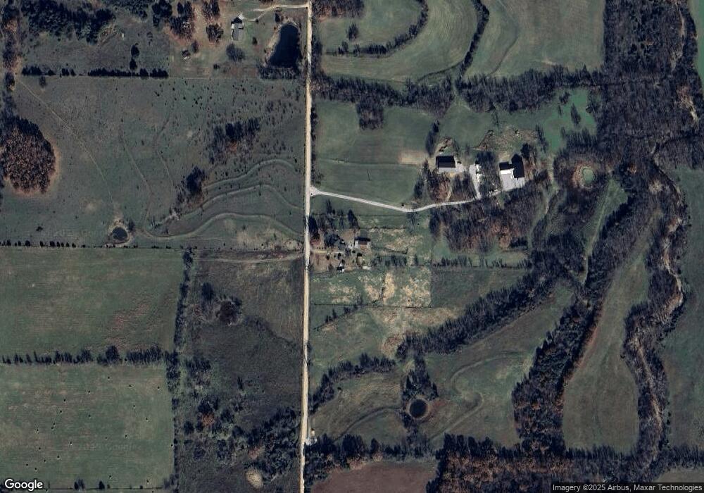
Map
Nearby Homes
- 447 Cumberland Rd
- 4390 Uu Rd
- 10226 State Route 38
- 494 Red Top Rd
- 0 Cumberland Rd Unit 60313599
- 000 Sterling Ln
- 626 Red Top Rd
- 47 Elderberry Rd
- 621 State Highway F
- 0000 Junior Ln
- 1 State Route 38
- 1257 State Road Aa
- 223 Red Top Rd
- 128 Somerset Rd
- 308 State Highway F
- 000 Morgan Ln
- 0 Morgan Ln Unit 25411503
- 420 Dairy Rd
- TBD State Highway F
- 1233 State Highway Aa
- 34 County Road Uu-280 2
- 28 Mt Harmon Rd
- 000 Mt Harmon
- 15 Mt Harmon Rd
- 68 Mt Harmon Rd
- 0 Uu & Cumberland Unit 60046621
- 0 Uu & Cumberland Unit 60046624
- 5838 Uu Rd
- 156 Olive Rd
- 52 Union Mound Rd
- 444 Cumberland Rd
- 5298 Uu Rd
- Tbd Cumberland & Uu
- 463 Cumberland Rd
- 371 Cumberland Rd
- 384 Cumberland Rd
- 263 Candlewood Rd
- 4745 Uu Rd
- 95 Olive Rd
- 82 Olive Rd
Your Personal Tour Guide
Ask me questions while you tour the home.