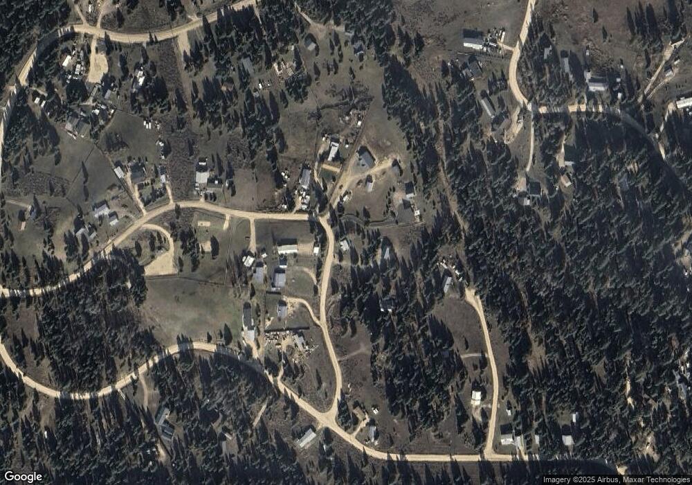
34 Nugget Dr Cascade, ID 83611
Estimated Value: $396,271 - $689,000
2
Beds
1
Bath
782
Sq Ft
$669/Sq Ft
Est. Value
About This Home
This home is located at 34 Nugget Dr, Cascade, ID 83611 and is currently estimated at $523,068, approximately $668 per square foot. 34 Nugget Dr is a home located in Valley County with nearby schools including Cascade Elementary School and Cascade Junior/Senior High School.
Ownership History
Date
Name
Owned For
Owner Type
Purchase Details
Closed on
Jul 13, 2011
Sold by
Bank Of New York Melion
Bought by
Pettek Carl and Pettek Jenna
Current Estimated Value
Purchase Details
Closed on
Apr 29, 2011
Sold by
Whipple Donald A and Whipple Michelle L
Bought by
Bank Of New York Mellon and Bank Of New York
Purchase Details
Closed on
Jul 13, 2005
Sold by
Slaton Fatma
Bought by
Whipple Donald A and Whipple Michelle L
Home Financials for this Owner
Home Financials are based on the most recent Mortgage that was taken out on this home.
Original Mortgage
$103,200
Interest Rate
6%
Mortgage Type
Adjustable Rate Mortgage/ARM
Create a Home Valuation Report for This Property
The Home Valuation Report is an in-depth analysis detailing your home's value as well as a comparison with similar homes in the area
Purchase History
| Date | Buyer | Sale Price | Title Company |
|---|---|---|---|
| Pettek Carl | -- | -- | |
| Bank Of New York Mellon | $58,500 | -- | |
| Whipple Donald A | -- | -- |
Source: Public Records
Mortgage History
| Date | Status | Borrower | Loan Amount |
|---|---|---|---|
| Previous Owner | Whipple Donald A | $103,200 |
Source: Public Records
Tax History Compared to Growth
Tax History
| Year | Tax Paid | Tax Assessment Tax Assessment Total Assessment is a certain percentage of the fair market value that is determined by local assessors to be the total taxable value of land and additions on the property. | Land | Improvement |
|---|---|---|---|---|
| 2025 | $901 | $335,773 | $63,266 | $272,507 |
| 2023 | $901 | $319,978 | $105,443 | $214,535 |
| 2022 | $904 | $284,306 | $77,561 | $206,745 |
| 2021 | $899 | $173,170 | $31,008 | $142,162 |
| 2020 | $915 | $149,967 | $40,253 | $109,714 |
| 2019 | $901 | $129,731 | $33,545 | $96,186 |
| 2018 | $826 | $117,822 | $31,821 | $86,001 |
| 2017 | $773 | $110,543 | $31,821 | $78,722 |
| 2016 | $751 | $102,876 | $31,821 | $71,055 |
| 2015 | $333 | $88,584 | $0 | $0 |
| 2013 | -- | $90,665 | $0 | $0 |
Source: Public Records
Map
Nearby Homes
- 22 W Prospectors Dr
- 85 E Prospectors Unit 238
- 31 Miners Ct
- TBD Sixty Ln
- 110 Warner Dr Unit 47
- 110 Warner Dr
- 10 N Creek Way
- L2 B2 Lazy River St Unit 2
- L2 B2 Lazy River St
- 12 N Creek Way
- L2 B1 Lazy River St
- L2 B1 Lazy River St Unit 2
- L5 B1 Lazy River St Unit 5
- L5 B1 Lazy River St
- L3 B2 Lazy River St
- L3 B2 Lazy River St Unit 3
- L3 B1 Lazy River St Unit 3
- L3 B1 Lazy River St
- L4 B1 Lazy River St Unit 4
- L4 B1 Lazy River St
- 32 Nugget Dr Unit 165
- 32 Nugget Dr
- 38 Nugget Dr
- 38 Nugget Dr Unit 162
- 30 Nugget Dr Unit 166
- 30 Nugget Dr
- 39 Nugget Dr
- 94 W Prospectors Dr
- 9 Gold Field Ct
- 22 Nugget Dr Unit 170
- 22 Nugget Dr
- 102 Prospectors Dr
- 1903 Gold Dust Rd
- 89 E Prospectors Dr
- 57 & 59 E Prospectors Dr Unit 244 & 245
- 51 & 53 E Prospectors Dr Unit 246 & 247
- 51 E Prospectors Dr Unit 247
- 110 E Prospectors Dr
- 110 E Prospectors Dr Unit 228
- 89 E Prospectors Dr Unit 237
