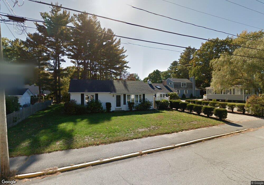
34 Ocean St Ogunquit, ME 03907
Ogunquit NeighborhoodEstimated Value: $1,032,540 - $1,381,000
3
Beds
2
Baths
1,982
Sq Ft
$595/Sq Ft
Est. Value
About This Home
This home is located at 34 Ocean St, Ogunquit, ME 03907 and is currently estimated at $1,179,135, approximately $594 per square foot. 34 Ocean St is a home located in York County with nearby schools including Wells Junior High School, Wells Elementary School, and Wells High School.
Ownership History
Date
Name
Owned For
Owner Type
Purchase Details
Closed on
May 23, 2025
Sold by
Williams Ann T
Bought by
Ann T Williams Ret and Williams
Current Estimated Value
Purchase Details
Closed on
Aug 19, 2011
Sold by
Chapin Valerie K and Chapin Pamela G
Bought by
Williams A T
Home Financials for this Owner
Home Financials are based on the most recent Mortgage that was taken out on this home.
Original Mortgage
$300,000
Interest Rate
4%
Mortgage Type
Adjustable Rate Mortgage/ARM
Create a Home Valuation Report for This Property
The Home Valuation Report is an in-depth analysis detailing your home's value as well as a comparison with similar homes in the area
Home Values in the Area
Average Home Value in this Area
Purchase History
| Date | Buyer | Sale Price | Title Company |
|---|---|---|---|
| Ann T Williams Ret | -- | -- | |
| Ann T Williams Ret | -- | -- | |
| Ann T Williams Ret | -- | -- | |
| Williams A T | -- | -- | |
| Williams A T | -- | -- | |
| Williams A T | -- | -- |
Source: Public Records
Mortgage History
| Date | Status | Borrower | Loan Amount |
|---|---|---|---|
| Previous Owner | Williams A T | $300,000 |
Source: Public Records
Tax History
| Year | Tax Paid | Tax Assessment Tax Assessment Total Assessment is a certain percentage of the fair market value that is determined by local assessors to be the total taxable value of land and additions on the property. | Land | Improvement |
|---|---|---|---|---|
| 2024 | $5,168 | $800,000 | $560,000 | $240,000 |
| 2023 | $5,168 | $800,000 | $560,000 | $240,000 |
| 2022 | $5,056 | $800,000 | $560,000 | $240,000 |
| 2021 | $4,897 | $622,900 | $436,500 | $186,400 |
| 2020 | $4,983 | $622,900 | $436,500 | $186,400 |
| 2019 | $4,983 | $622,900 | $436,500 | $186,400 |
| 2018 | $4,927 | $622,900 | $436,500 | $186,400 |
| 2017 | $4,722 | $622,900 | $436,500 | $186,400 |
| 2016 | $3,950 | $488,300 | $291,000 | $197,300 |
| 2015 | $3,941 | $488,300 | $291,000 | $197,300 |
| 2014 | $3,789 | $488,300 | $291,000 | $197,300 |
Source: Public Records
Map
Nearby Homes
- 488 Main St Unit 7
- 31 Rebecca Rd
- 22 Adams Ln
- 76 Post Rd Unit 21M
- 9 Bourne Ave Unit B6
- 168 Ocean Ave
- 191 Tatnic Rd Unit 73
- 14 Valleybrook Rd Unit 14
- 25 Shore Rd Unit A
- 1 Old County Rd Unit 165
- 1 Old County Rd Unit 155
- 20 Shore Rd Unit 2A,B,C,D
- 69 Cottage St
- 47 Village Green Dr
- 412 Post Rd Unit 304
- 412 Post Rd Unit 145
- 55 Israel Head Rd Unit 203
- 200 Shore Rd
- 310 Furbish Rd
- 14 Maple St
- 40 Ocean St
- 16 Ocean St Unit 16
- 28 Ocean St Unit 28
- 48 Ocean St
- 44 Ocean St
- 31 Ocean St
- 26 Ocean St
- 41 Ocean St
- 11 Rose Ln
- 52 Ocean St Unit 43
- 52 Ocean St Unit 42
- 52 Ocean St Unit 41
- 52 Ocean St Unit 40
- 52 Ocean St
- 33 Riverbank Rd
- 29 Ocean St
- 23 Ocean St
- 25 Ocean St Unit 45
- 25 Ocean St Unit 44
- 23 Riverbank Rd
Your Personal Tour Guide
Ask me questions while you tour the home.