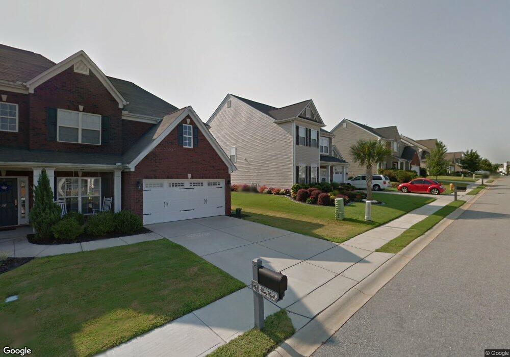
34 Open Range Ln Simpsonville, SC 29681
Estimated Value: $447,000 - $471,000
4
Beds
4
Baths
3,300
Sq Ft
$138/Sq Ft
Est. Value
About This Home
This home is located at 34 Open Range Ln, Simpsonville, SC 29681 and is currently estimated at $455,281, approximately $137 per square foot. 34 Open Range Ln is a home located in Greenville County with nearby schools including Bryson Elementary School, Bryson Middle School, and Hillcrest High School.
Ownership History
Date
Name
Owned For
Owner Type
Purchase Details
Closed on
Oct 5, 2009
Sold by
Graves John D and Graves Carolyn B
Bought by
Telfer Todd A and Telfer Robin A
Current Estimated Value
Home Financials for this Owner
Home Financials are based on the most recent Mortgage that was taken out on this home.
Original Mortgage
$128,500
Outstanding Balance
$82,407
Interest Rate
5.05%
Mortgage Type
New Conventional
Estimated Equity
$372,874
Purchase Details
Closed on
Apr 27, 2007
Sold by
Mccar Homes Greenville Llc
Bought by
Graves John D and Graves Carolyn B
Home Financials for this Owner
Home Financials are based on the most recent Mortgage that was taken out on this home.
Original Mortgage
$187,750
Interest Rate
6.1%
Mortgage Type
Purchase Money Mortgage
Purchase Details
Closed on
Jan 8, 2007
Sold by
Tuley & Tuley Inc
Bought by
Mccar Homes Greenville Llc
Create a Home Valuation Report for This Property
The Home Valuation Report is an in-depth analysis detailing your home's value as well as a comparison with similar homes in the area
Home Values in the Area
Average Home Value in this Area
Purchase History
| Date | Buyer | Sale Price | Title Company |
|---|---|---|---|
| Telfer Todd A | $228,500 | -- | |
| Graves John D | $234,710 | None Available | |
| Mccar Homes Greenville Llc | $102,960 | None Available |
Source: Public Records
Mortgage History
| Date | Status | Borrower | Loan Amount |
|---|---|---|---|
| Open | Telfer Todd A | $128,500 | |
| Previous Owner | Graves John D | $187,750 |
Source: Public Records
Tax History
| Year | Tax Paid | Tax Assessment Tax Assessment Total Assessment is a certain percentage of the fair market value that is determined by local assessors to be the total taxable value of land and additions on the property. | Land | Improvement |
|---|---|---|---|---|
| 2025 | $2,251 | $12,680 | $2,850 | $9,830 |
| 2024 | $2,251 | $11,020 | $1,520 | $9,500 |
| 2023 | $2,165 | $11,020 | $1,520 | $9,500 |
| 2022 | $2,115 | $11,020 | $1,520 | $9,500 |
| 2021 | $2,116 | $11,020 | $1,520 | $9,500 |
| 2020 | $2,078 | $10,200 | $1,200 | $9,000 |
| 2019 | $2,079 | $10,200 | $1,200 | $9,000 |
| 2018 | $1,942 | $10,200 | $1,200 | $9,000 |
| 2017 | $1,942 | $10,200 | $1,200 | $9,000 |
| 2016 | $1,870 | $255,090 | $30,000 | $225,090 |
| 2015 | $1,870 | $255,090 | $30,000 | $225,090 |
| 2014 | $1,827 | $253,146 | $32,666 | $220,480 |
Source: Public Records
Map
Nearby Homes
- 129 Morning Tide Dr
- 33 Golden Acre Ct
- 1024 Powderhorn Rd
- 389 Heritage Point Dr
- 607 Raleighwood Ln
- 300 Raleighwood Ln
- 231 Raleighwood Ln
- 527 Baycraft Ln
- 215 Chickamauga Ln
- 14 Corsica Ct
- 154 Strongridge Trail
- 501 Baycraft Ln
- 109 Woodcross Dr
- 132 Strongridge Trail
- 106 Ashborne Ln
- 6 Ashborne Ln
- 202 Ashborne Ln
- 220 Garfield Ln
- 30 Woodcross Dr
- 2 Durbin Forest Way
- 38 Open Range Ln
- 30 Open Range Ln
- 153 Heritage Point Dr
- 26 Open Range Ln
- 42 Open Range Ln
- 149 Heritage Point Dr
- 35 Open Range Ln
- 161 Heritage Point Dr
- 27 Open Range Ln
- 39 Open Range Ln
- 22 Open Range Ln
- 145 Heritage Point Dr
- 46 Open Range Ln Unit 53
- 46 Open Range Ln
- 23 Open Range Ln
- 165 Heritage Point Dr
- 47 Open Range Ln
- 18 Open Range Ln
- 19 Open Range Ln
- 138 Morning Tide Dr
Your Personal Tour Guide
Ask me questions while you tour the home.