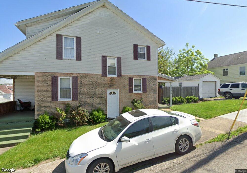
34 Pershing Ave Uniontown, PA 15401
Estimated Value: $82,000 - $107,265
3
Beds
1
Bath
1,624
Sq Ft
$60/Sq Ft
Est. Value
About This Home
This home is located at 34 Pershing Ave, Uniontown, PA 15401 and is currently estimated at $97,816, approximately $60 per square foot. 34 Pershing Ave is a home located in Fayette County with nearby schools including Uniontown Area Senior High School, St. John the Evangelist School, and Chestnut Ridge Christian Academy.
Ownership History
Date
Name
Owned For
Owner Type
Purchase Details
Closed on
Sep 26, 2006
Sold by
Mcfadden Gary R and Mcfadden Paula J
Bought by
Mcfadden Gary M and Mcfadden Melissa L
Current Estimated Value
Purchase Details
Closed on
Sep 23, 2005
Sold by
The Secretary Of Veterans Affairs
Bought by
Mcfadden Gary R and Mcfadden Paula J
Home Financials for this Owner
Home Financials are based on the most recent Mortgage that was taken out on this home.
Original Mortgage
$22,900
Outstanding Balance
$12,198
Interest Rate
5.78%
Mortgage Type
New Conventional
Estimated Equity
$85,618
Create a Home Valuation Report for This Property
The Home Valuation Report is an in-depth analysis detailing your home's value as well as a comparison with similar homes in the area
Home Values in the Area
Average Home Value in this Area
Purchase History
| Date | Buyer | Sale Price | Title Company |
|---|---|---|---|
| Mcfadden Gary M | -- | None Available | |
| Mcfadden Gary R | $22,920 | None Available |
Source: Public Records
Mortgage History
| Date | Status | Borrower | Loan Amount |
|---|---|---|---|
| Open | Mcfadden Gary R | $22,900 |
Source: Public Records
Tax History
| Year | Tax Paid | Tax Assessment Tax Assessment Total Assessment is a certain percentage of the fair market value that is determined by local assessors to be the total taxable value of land and additions on the property. | Land | Improvement |
|---|---|---|---|---|
| 2025 | $824 | $21,930 | $5,185 | $16,745 |
| 2024 | $798 | $21,930 | $5,185 | $16,745 |
| 2023 | $1,597 | $21,930 | $5,185 | $16,745 |
| 2022 | $1,563 | $21,930 | $5,185 | $16,745 |
| 2021 | $1,563 | $21,930 | $5,185 | $16,745 |
| 2020 | $1,539 | $21,930 | $5,185 | $16,745 |
| 2019 | $1,463 | $21,930 | $5,185 | $16,745 |
| 2018 | $1,411 | $21,930 | $5,185 | $16,745 |
| 2017 | $1,411 | $21,930 | $5,185 | $16,745 |
| 2016 | -- | $21,930 | $5,185 | $16,745 |
| 2015 | -- | $21,930 | $5,185 | $16,745 |
| 2014 | -- | $43,860 | $10,370 | $33,490 |
Source: Public Records
Map
Nearby Homes
- 120 Bailey Ave
- 240 Bailey Ave
- 7 Jacob St
- 82 E Kerr St
- 99 Murray Ave
- 0 Cleveland Ave
- 152 E Askren St
- 120 E Coffee St
- 123 E Coffee St
- 200 Evans St
- 277 N Gallatin Ave
- 104 Whyle Ave
- N Gallatin Ave
- 348 N Gallatin Ave
- 45 Collins Ave
- 660 N Gallatin Ave
- 149 Coolspring St
- 173 Wilbur Ave
- 120 Pittsburgh St
- 32 Coolspring St
Your Personal Tour Guide
Ask me questions while you tour the home.