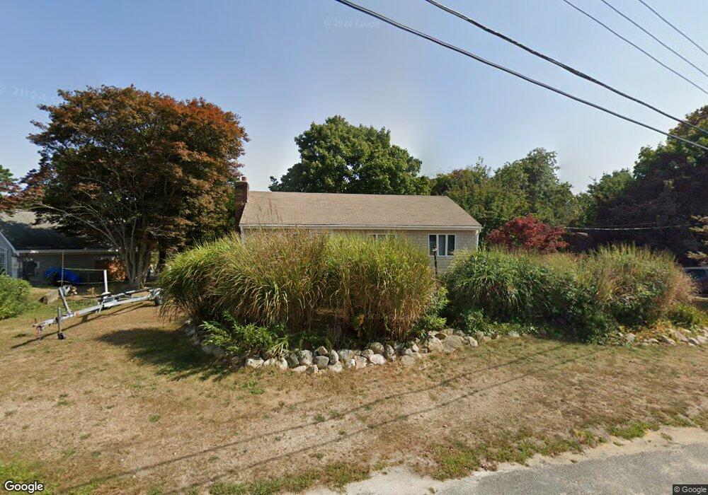
34 Pond St Centerville, MA 02632
Centerville NeighborhoodEstimated Value: $532,000 - $681,000
3
Beds
2
Baths
1,120
Sq Ft
$556/Sq Ft
Est. Value
About This Home
This home is located at 34 Pond St, Centerville, MA 02632 and is currently estimated at $622,784, approximately $556 per square foot. 34 Pond St is a home located in Barnstable County with nearby schools including Centerville Elementary School, Barnstable United Elementary School, and Barnstable Intermediate School.
Ownership History
Date
Name
Owned For
Owner Type
Purchase Details
Closed on
Mar 15, 2002
Sold by
Thomas F Killoran Int
Bought by
Killoran Amy Beth
Current Estimated Value
Home Financials for this Owner
Home Financials are based on the most recent Mortgage that was taken out on this home.
Original Mortgage
$190,000
Outstanding Balance
$79,256
Interest Rate
7.04%
Mortgage Type
Purchase Money Mortgage
Estimated Equity
$543,528
Purchase Details
Closed on
Nov 18, 1998
Sold by
Crowell M Louise
Bought by
Wellfleet Town Of
Home Financials for this Owner
Home Financials are based on the most recent Mortgage that was taken out on this home.
Original Mortgage
$89,700
Interest Rate
6.49%
Mortgage Type
Purchase Money Mortgage
Create a Home Valuation Report for This Property
The Home Valuation Report is an in-depth analysis detailing your home's value as well as a comparison with similar homes in the area
Home Values in the Area
Average Home Value in this Area
Purchase History
| Date | Buyer | Sale Price | Title Company |
|---|---|---|---|
| Killoran Amy Beth | $265,000 | -- | |
| Wellfleet Town Of | $95,000 | -- |
Source: Public Records
Mortgage History
| Date | Status | Borrower | Loan Amount |
|---|---|---|---|
| Open | Wellfleet Town Of | $190,000 | |
| Previous Owner | Wellfleet Town Of | $89,700 |
Source: Public Records
Tax History Compared to Growth
Tax History
| Year | Tax Paid | Tax Assessment Tax Assessment Total Assessment is a certain percentage of the fair market value that is determined by local assessors to be the total taxable value of land and additions on the property. | Land | Improvement |
|---|---|---|---|---|
| 2025 | $4,195 | $518,600 | $249,300 | $269,300 |
| 2024 | $4,037 | $516,900 | $249,300 | $267,600 |
| 2023 | $4,004 | $480,100 | $246,700 | $233,400 |
| 2022 | $3,466 | $359,500 | $158,000 | $201,500 |
| 2021 | $3,464 | $330,200 | $167,900 | $162,300 |
| 2020 | $3,627 | $330,900 | $177,800 | $153,100 |
| 2019 | $3,651 | $323,700 | $187,600 | $136,100 |
| 2018 | $3,367 | $300,100 | $187,100 | $113,000 |
| 2017 | $3,228 | $300,000 | $192,300 | $107,700 |
| 2016 | $3,306 | $303,300 | $195,600 | $107,700 |
| 2015 | $3,231 | $297,800 | $186,600 | $111,200 |
Source: Public Records
Map
Nearby Homes
- 10 Sail a Way
- 10 Sail -A-way
- 58 Loomis Ln
- 60 Richards Ln
- 481 Lakeside Dr W
- 40 Sachem Dr
- 198 Great Marsh Rd
- 140 Wequaquet Ln
- 82 Yacht Club Rd
- 576 Strawberry Hill Rd
- 855 W Main St Unit 7
- 825 W Main St Unit 4
- 386 Bishops Terrace
- 21 Brian Ln
- 290 Riverview Ln
- 156 S Main St
- 149 Old Stage Rd
- 2 Longview Dr
- 52 Meadow Farm Rd
- 53 Meadow Farm Rd