34 Potts Point Rd Harpswell, ME 04079
Harpswell Neck NeighborhoodEstimated Value: $595,158 - $846,000
2
Beds
2
Baths
1,150
Sq Ft
$613/Sq Ft
Est. Value
About This Home
This home is located at 34 Potts Point Rd, Harpswell, ME 04079 and is currently estimated at $705,290, approximately $613 per square foot. 34 Potts Point Rd is a home with nearby schools including Mt Ararat High School.
Ownership History
Date
Name
Owned For
Owner Type
Purchase Details
Closed on
Aug 6, 2024
Sold by
Irma G Howard Ret and Bank Of America Na Tr
Bought by
Mulcahy Cynthia H
Current Estimated Value
Purchase Details
Closed on
Jul 22, 2024
Sold by
Howard Irma G Est and Bank Of America Na
Bought by
Irma G Howard Ret and Bank Of America Na Tr
Create a Home Valuation Report for This Property
The Home Valuation Report is an in-depth analysis detailing your home's value as well as a comparison with similar homes in the area
Home Values in the Area
Average Home Value in this Area
Purchase History
| Date | Buyer | Sale Price | Title Company |
|---|---|---|---|
| Mulcahy Cynthia H | -- | None Available | |
| Mulcahy Cynthia H | -- | None Available | |
| Irma G Howard Ret | -- | None Available | |
| Irma G Howard Ret | -- | None Available |
Source: Public Records
Tax History Compared to Growth
Tax History
| Year | Tax Paid | Tax Assessment Tax Assessment Total Assessment is a certain percentage of the fair market value that is determined by local assessors to be the total taxable value of land and additions on the property. | Land | Improvement |
|---|---|---|---|---|
| 2024 | $2,528 | $397,500 | $270,000 | $127,500 |
| 2023 | $2,425 | $397,500 | $270,000 | $127,500 |
| 2022 | $2,345 | $397,500 | $270,000 | $127,500 |
| 2021 | $2,619 | $387,400 | $281,200 | $106,200 |
| 2020 | $2,611 | $387,400 | $281,200 | $106,200 |
| 2019 | $2,596 | $387,400 | $281,200 | $106,200 |
| 2018 | $2,510 | $387,400 | $281,200 | $106,200 |
| 2017 | $0 | $387,400 | $281,200 | $106,200 |
| 2016 | $0 | $387,400 | $281,200 | $106,200 |
| 2015 | $2,417 | $387,400 | $281,200 | $106,200 |
| 2013 | $2,239 | $387,400 | $281,200 | $106,200 |
Source: Public Records
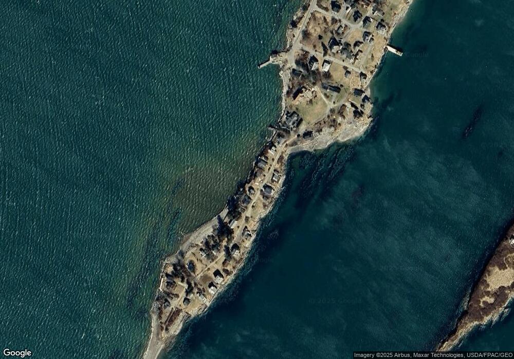
Map
Nearby Homes
- 10 S Colony Branch Rd
- 8 & 2 Kane Ln
- 6 Kane Ln
- 19 Hugh Ave
- 20 Spruce Ledge Rd
- 10 Irene Ave
- 18 Ash Point Rd
- 16 Ash Point Rd Unit 16
- 30 Osbourne Row
- 1450 Harpswell Neck Rd
- 87 Lowells Cove Rd
- 1689 Harpswell Islands Rd
- 1 Mallard Pond Rd
- 41 Spruce Brook Dr
- 0 Bayview Rd Unit 2 1632776
- Lot 2 Buxhill Blvd
- Lot 2A Allen Point Rd
- Lot 2B Allen Point Rd
- 471 South Rd Unit A
- 471 South Rd Unit B
- 38 Potts Point Rd
- 30 Potts Point Rd
- 35 Potts Point Rd
- 31 Potts Point Rd
- 40 Potts Point Rd
- 28 Potts Point Rd
- 0 Potts Point Rd
- 26 Potts Point Rd
- 46 Potts Point Rd
- 47 Potts Point Rd
- 19 Potts Point Rd
- 22 Potts Point Rd
- 51 Potts Point Rd
- 53 Potts Point Rd
- 8 Potts Point Rd
- 56 Pott's Point Rd
- 57 Potts Point Rd
- 0 Potts Point
- 0 Pott's Point
- 60 Potts Point Rd