34 Quantapog Rd Oak Bluffs, MA 02557
Oak Bluffs NeighborhoodEstimated Value: $1,365,000 - $2,334,000
2
Beds
2
Baths
1,502
Sq Ft
$1,257/Sq Ft
Est. Value
About This Home
This home is located at 34 Quantapog Rd, Oak Bluffs, MA 02557 and is currently estimated at $1,887,529, approximately $1,256 per square foot. 34 Quantapog Rd is a home located in Dukes County with nearby schools including Oak Bluffs Elementary School and Martha's Vineyard Regional High School.
Ownership History
Date
Name
Owned For
Owner Type
Purchase Details
Closed on
May 17, 2011
Sold by
Abbot Christopher W and Abbot Diane M
Bought by
Sofranko John A and Lee Carol S
Current Estimated Value
Create a Home Valuation Report for This Property
The Home Valuation Report is an in-depth analysis detailing your home's value as well as a comparison with similar homes in the area
Home Values in the Area
Average Home Value in this Area
Purchase History
| Date | Buyer | Sale Price | Title Company |
|---|---|---|---|
| Sofranko John A | $576,250 | -- |
Source: Public Records
Mortgage History
| Date | Status | Borrower | Loan Amount |
|---|---|---|---|
| Previous Owner | Sofranko John A | $160,000 |
Source: Public Records
Tax History
| Year | Tax Paid | Tax Assessment Tax Assessment Total Assessment is a certain percentage of the fair market value that is determined by local assessors to be the total taxable value of land and additions on the property. | Land | Improvement |
|---|---|---|---|---|
| 2025 | $9,740 | $1,928,800 | $869,900 | $1,058,900 |
| 2024 | $9,482 | $1,813,000 | $790,500 | $1,022,500 |
| 2023 | $8,707 | $1,649,100 | $768,100 | $881,000 |
| 2022 | $8,251 | $1,215,100 | $575,000 | $640,100 |
| 2021 | $8,347 | $1,132,600 | $507,500 | $625,100 |
| 2020 | $7,918 | $1,064,300 | $483,300 | $581,000 |
| 2019 | $7,783 | $1,012,100 | $442,200 | $569,900 |
| 2018 | $7,480 | $955,300 | $381,000 | $574,300 |
| 2017 | $7,038 | $863,500 | $361,200 | $502,300 |
| 2016 | $4,036 | $497,600 | $372,400 | $125,200 |
| 2015 | $4,454 | $559,600 | $372,400 | $187,200 |
| 2014 | $4,413 | $565,100 | $373,500 | $191,600 |
Source: Public Records
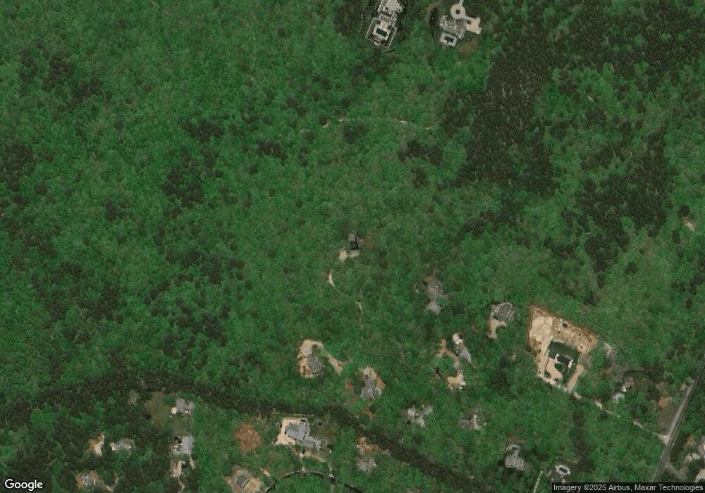
Map
Nearby Homes
- 2 Farm Path
- 7 S Meadow Ln
- 4 High Meadow Ln
- 18 Wood Duck Way
- 30 Sengekontacket Rd
- 63 Bayes Hill Rd
- 7 Upper Meadow Ln
- 400 Barnes Rd
- 35 Double Ox Rd
- 35 Double Ox Rd Unit 42
- 43 Sengekontacket Rd
- 39 Iron Hill Rd
- 0 Pennsylvania Ave Unit 43914
- 28 Barling Ave
- 6 Lauras Way
- 6 Laura's Way
- 12 Park Ave
- 12 Wheelhouse Way
- 112 3rd St N
- 101 Tradewinds Rd
- 10 Quantapog Rd
- 30 Quantapog Rd
- 33 Quantapog Rd
- 37 Quantapog Rd
- 21 Quantapog Rd
- 3 Quantapog Rd
- 39 Meshaket Way
- 2 Quantapog Rd
- 9 Quantapog Rd
- 15 Quantapog Rd
- 33 Meshaket Way
- 7 Kyle Way (10 Quantapog Road)
- 40 Quantapog Rd
- 40 Quantapog Rd
- 41 Meshaket Way
- 38 Meshaket Way
- 10 Meshaket Way
- 32 Meshaket Way
- 19 Quantapog Rd
- 25 Meshaket Way
Your Personal Tour Guide
Ask me questions while you tour the home.