34 Randall Ln Pownal, ME 04069
Estimated Value: $485,181 - $561,000
Studio
--
Bath
1,386
Sq Ft
$371/Sq Ft
Est. Value
About This Home
This home is located at 34 Randall Ln, Pownal, ME 04069 and is currently estimated at $514,394, approximately $371 per square foot. 34 Randall Ln is a home located in Cumberland County with nearby schools including Freeport High School.
Create a Home Valuation Report for This Property
The Home Valuation Report is an in-depth analysis detailing your home's value as well as a comparison with similar homes in the area
Home Values in the Area
Average Home Value in this Area
Tax History
| Year | Tax Paid | Tax Assessment Tax Assessment Total Assessment is a certain percentage of the fair market value that is determined by local assessors to be the total taxable value of land and additions on the property. | Land | Improvement |
|---|---|---|---|---|
| 2024 | $4,758 | $279,900 | $103,400 | $176,500 |
| 2023 | $4,398 | $233,300 | $86,200 | $147,100 |
| 2022 | $4,199 | $233,300 | $86,200 | $147,100 |
| 2021 | $4,199 | $233,300 | $86,200 | $147,100 |
| 2020 | $4,199 | $233,300 | $86,200 | $147,100 |
| 2019 | $4,269 | $233,300 | $86,200 | $147,100 |
| 2018 | $4,199 | $233,300 | $86,200 | $147,100 |
| 2017 | $4,024 | $233,300 | $86,200 | $147,100 |
| 2016 | $3,849 | $233,300 | $86,200 | $147,100 |
| 2015 | $3,351 | $99,300 | $19,900 | $79,400 |
| 2014 | $3,426 | $99,300 | $19,900 | $79,400 |
| 2013 | $3,451 | $99,300 | $19,900 | $79,400 |
Source: Public Records
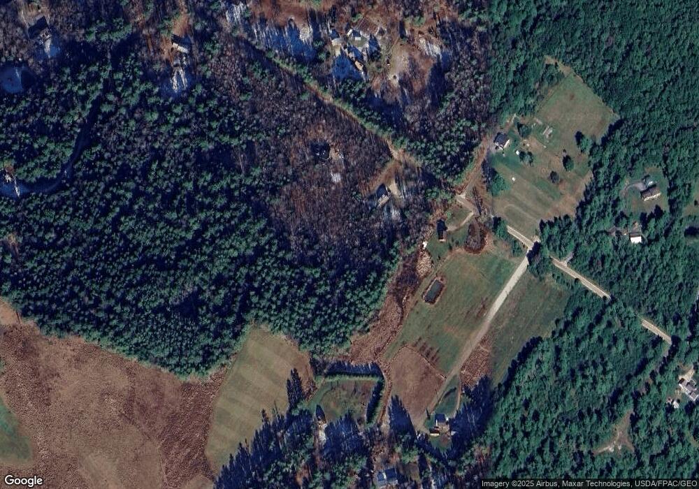
Map
Nearby Homes
- 238 Hallowell Rd
- 112 Leighton Rd
- 1523 North Rd
- 24 Hazel Ln Unit 24
- 0 New Gloucester Rd
- 4 Harper's Trail
- 304 Pownal Rd
- 026-01 Dow Ln
- 244 Allen Rd
- 79 Birchwood Terrace
- 25 Allen Rd
- 45 Beech Hill Rd
- 84 Town Farm Rd
- 51 Old Field Rd
- 92 Town Farm Rd
- 118 Lufkin Rd
- 8 Statler Ln
- Lot #4 Secretariat Dr
- 67 Farmview Ln
- Lot #3 Secretariat Dr
Your Personal Tour Guide
Ask me questions while you tour the home.