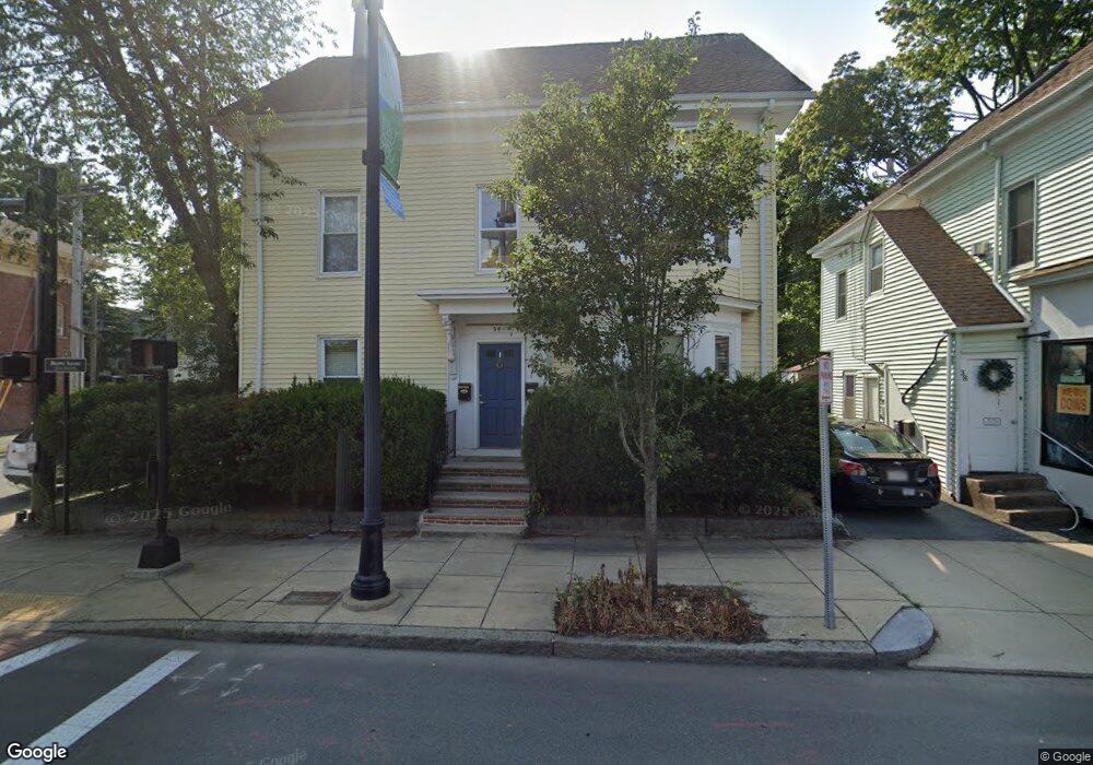
34 Rantoul St Unit 1 Beverly, MA 01915
Downtown Beverly NeighborhoodEstimated Value: $439,000 - $516,000
3
Beds
1
Bath
1,222
Sq Ft
$399/Sq Ft
Est. Value
About This Home
This home is located at 34 Rantoul St Unit 1, Beverly, MA 01915 and is currently estimated at $487,679, approximately $399 per square foot. 34 Rantoul St Unit 1 is a home located in Essex County with nearby schools including Beverly High School, Mrs Alexander's School, and Shore Country Day School.
Ownership History
Date
Name
Owned For
Owner Type
Purchase Details
Closed on
Jul 21, 2004
Sold by
Pelosi Sharon M
Bought by
Winter Robin K
Current Estimated Value
Home Financials for this Owner
Home Financials are based on the most recent Mortgage that was taken out on this home.
Original Mortgage
$216,000
Interest Rate
6.28%
Mortgage Type
Purchase Money Mortgage
Create a Home Valuation Report for This Property
The Home Valuation Report is an in-depth analysis detailing your home's value as well as a comparison with similar homes in the area
Home Values in the Area
Average Home Value in this Area
Purchase History
We collect this data history from publicly available records. To have your information removed, we recommend requesting removal directly through your county’s website.
| Date | Buyer | Sale Price | Title Company |
|---|---|---|---|
| Winter Robin K | $241,000 | -- |
Source: Public Records
Mortgage History
We collect this data history from publicly available records. To have your information removed, we recommend requesting removal directly through your county’s website.
| Date | Status | Borrower | Loan Amount |
|---|---|---|---|
| Open | Winter Robin K | $189,650 | |
| Closed | Winter Robin K | $216,000 |
Source: Public Records
Tax History
| Year | Tax Paid | Tax Assessment Tax Assessment Total Assessment is a certain percentage of the fair market value that is determined by local assessors to be the total taxable value of land and additions on the property. | Land | Improvement |
|---|---|---|---|---|
| 2025 | $4,567 | $415,600 | $0 | $415,600 |
| 2024 | $4,308 | $383,600 | $0 | $383,600 |
| 2023 | $3,841 | $341,100 | $0 | $341,100 |
| 2022 | $3,899 | $320,400 | $0 | $320,400 |
| 2021 | $3,785 | $298,000 | $0 | $298,000 |
| 2020 | $3,515 | $274,000 | $0 | $274,000 |
| 2019 | $3,386 | $256,300 | $0 | $256,300 |
| 2018 | $3,078 | $226,300 | $0 | $226,300 |
| 2017 | $3,146 | $220,300 | $0 | $220,300 |
| 2016 | $3,115 | $216,500 | $0 | $216,500 |
| 2015 | $3,055 | $216,500 | $0 | $216,500 |
Source: Public Records
Map
Nearby Homes
- 60 Rantoul St Unit 708N
- 60 Rantoul St Unit 114N
- 12 Summit Ave Unit 6
- 57 Front St Unit 2
- 109 Water St Unit 404
- 7 Lothrop St
- 115 Water St Unit 14
- 121 Water St Unit 46
- 34 Abbott St
- 34 Kernwood Ave
- 348 Rantoul St Unit 202
- 114 Livingstone Ave
- 94 Kernwood Ave
- 37 Chase St
- 22 Butman St Unit 1
- 5 Beckford St Unit 3
- 9 Parkview Ave
- 2 Mill St
- 11 Barton St
- 6 Pearl St
- 45 Rantoul St Unit 315
- 45 Rantoul St Unit 314
- 45 Rantoul St Unit 313
- 45 Rantoul St Unit 312
- 45 Rantoul St Unit 311
- 45 Rantoul St Unit 310
- 45 Rantoul St Unit 309
- 45 Rantoul St Unit 308
- 45 Rantoul St Unit 307
- 45 Rantoul St Unit 306
- 45 Rantoul St Unit 305
- 45 Rantoul St Unit 304
- 45 Rantoul St Unit 303
- 45 Rantoul St Unit 302
- 45 Rantoul St Unit 301
- 45 Rantoul St Unit 208
- 45 Rantoul St Unit 207
- 45 Rantoul St Unit 206
- 45 Rantoul St Unit 205
- 45 Rantoul St Unit 204
Your Personal Tour Guide
Ask me questions while you tour the home.