34 Robbins Rd Westport, MA 02790
Westport Point NeighborhoodEstimated Value: $1,965,000 - $2,683,121
1
Bed
--
Bath
1,460
Sq Ft
$1,548/Sq Ft
Est. Value
About This Home
This home is located at 34 Robbins Rd, Westport, MA 02790 and is currently estimated at $2,259,374, approximately $1,547 per square foot. 34 Robbins Rd is a home with nearby schools including Alice A. Macomber Primary School, Westport Elementary School, and Westport Middle-High School.
Ownership History
Date
Name
Owned For
Owner Type
Purchase Details
Closed on
Nov 8, 2024
Sold by
Young Derek and Young Heidi
Bought by
Davis Thaddeus H and Davis Juliana V
Current Estimated Value
Purchase Details
Closed on
Dec 2, 1986
Bought by
Stegeman Robert H and Stegeman Carolyn B
Create a Home Valuation Report for This Property
The Home Valuation Report is an in-depth analysis detailing your home's value as well as a comparison with similar homes in the area
Home Values in the Area
Average Home Value in this Area
Purchase History
| Date | Buyer | Sale Price | Title Company |
|---|---|---|---|
| Davis Thaddeus H | $2,550,000 | None Available | |
| Davis Thaddeus H | $2,550,000 | None Available | |
| Stegeman Robert H | $475,000 | -- |
Source: Public Records
Tax History
| Year | Tax Paid | Tax Assessment Tax Assessment Total Assessment is a certain percentage of the fair market value that is determined by local assessors to be the total taxable value of land and additions on the property. | Land | Improvement |
|---|---|---|---|---|
| 2025 | $6,540 | $877,900 | $632,000 | $245,900 |
| 2024 | $6,148 | $795,300 | $551,500 | $243,800 |
| 2023 | $5,899 | $722,900 | $492,800 | $230,100 |
| 2022 | $5,232 | $617,000 | $441,000 | $176,000 |
| 2021 | $3,482 | $404,000 | $383,200 | $20,800 |
| 2020 | $3,277 | $388,700 | $367,900 | $20,800 |
| 2019 | $3,074 | $371,700 | $350,900 | $20,800 |
| 2018 | $2,734 | $334,600 | $314,300 | $20,300 |
| 2017 | $2,667 | $334,600 | $314,300 | $20,300 |
| 2016 | $2,695 | $340,700 | $320,400 | $20,300 |
| 2015 | $2,702 | $340,700 | $320,400 | $20,300 |
Source: Public Records
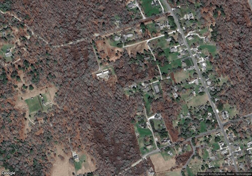
Map
Nearby Homes
- 2 Olin Howland Way
- 1 Puddingstone Cir
- 255 John Dyer Rd
- 25 Quail Trail
- 245 John Dyer Rd
- 17 Quail Trail
- 920 Drift Rd
- 238-242 E Beach Rd
- 101 Adamsville Rd
- Lot 2 Horseneck Rd
- 649 Horseneck Rd
- 837 Main Road & Lot 2
- 332 Division Rd
- 116 Amy Hart Path
- 505 Long Hwy
- 8 Village Way
- 2 Slades Farm Ln
- 140 Long Hwy
- Lot 2E Horseneck Rd
- 140I Long Hwy
- 5 Fairview Ave
- 5 Fairview Ave
- 22 Robbins Rd
- 1 Fairview Ave
- 14 Robbins St
- 17 Robbins Rd
- 14 Robbins St
- 2 Fairview Ave
- 1789 Main Rd
- 1809 Main Rd Unit WINTER RENT
- 1809 Main Rd
- 1809 Main Rd Unit A
- 0 Scotch Pine Ln Unit 72321069
- 0 Scotch Pine Ln Unit 71595856
- 0 Scotch Pine Ln Unit 71857539
- 0 Scotch Pine Ln Unit 72409988
- 43 Cape Bial Ln
- 1819 Main Rd
- 31 Cape Bial
- 1823 Main Rd
Your Personal Tour Guide
Ask me questions while you tour the home.