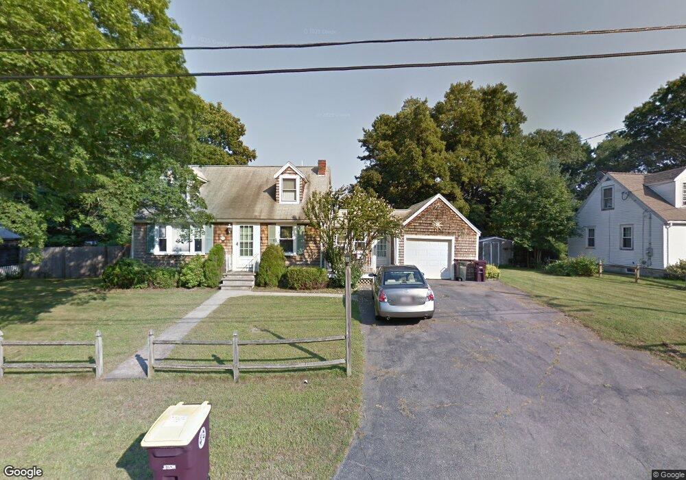
34 Roland Rd South Weymouth, MA 02190
South Weymouth NeighborhoodEstimated Value: $635,945 - $828,000
3
Beds
2
Baths
1,668
Sq Ft
$436/Sq Ft
Est. Value
About This Home
This home is located at 34 Roland Rd, South Weymouth, MA 02190 and is currently estimated at $726,486, approximately $435 per square foot. 34 Roland Rd is a home located in Norfolk County with nearby schools including Thomas V Nash, Abigail Adams Middle School, and Weymouth Middle School Chapman.
Ownership History
Date
Name
Owned For
Owner Type
Purchase Details
Closed on
Mar 13, 2003
Sold by
Omelia Jane T
Bought by
Cosgrove Paul V and Cosgrove Becky
Current Estimated Value
Home Financials for this Owner
Home Financials are based on the most recent Mortgage that was taken out on this home.
Original Mortgage
$300,000
Outstanding Balance
$129,534
Interest Rate
5.94%
Mortgage Type
Purchase Money Mortgage
Estimated Equity
$596,952
Create a Home Valuation Report for This Property
The Home Valuation Report is an in-depth analysis detailing your home's value as well as a comparison with similar homes in the area
Home Values in the Area
Average Home Value in this Area
Purchase History
| Date | Buyer | Sale Price | Title Company |
|---|---|---|---|
| Cosgrove Paul V | $300,000 | -- |
Source: Public Records
Mortgage History
| Date | Status | Borrower | Loan Amount |
|---|---|---|---|
| Open | Cosgrove Paul V | $300,000 |
Source: Public Records
Tax History Compared to Growth
Tax History
| Year | Tax Paid | Tax Assessment Tax Assessment Total Assessment is a certain percentage of the fair market value that is determined by local assessors to be the total taxable value of land and additions on the property. | Land | Improvement |
|---|---|---|---|---|
| 2025 | $5,497 | $544,300 | $222,700 | $321,600 |
| 2024 | $5,292 | $515,300 | $212,200 | $303,100 |
| 2023 | $5,174 | $495,100 | $214,300 | $280,800 |
| 2022 | $5,165 | $450,700 | $198,500 | $252,200 |
| 2021 | $4,881 | $415,800 | $198,500 | $217,300 |
| 2020 | $4,696 | $394,000 | $198,500 | $195,500 |
| 2019 | $4,660 | $384,500 | $190,800 | $193,700 |
| 2018 | $4,516 | $361,300 | $181,700 | $179,600 |
| 2017 | $4,484 | $350,000 | $173,100 | $176,900 |
| 2016 | $4,308 | $336,600 | $166,400 | $170,200 |
| 2015 | $4,147 | $321,500 | $166,400 | $155,100 |
| 2014 | $3,963 | $298,000 | $154,900 | $143,100 |
Source: Public Records
Map
Nearby Homes
- 193 Randolph St
- 211 Randolph St
- 120 Randolph St
- 50 Hollis St
- 68 Massapoag St Unit 7
- 24 Fisher Rd
- 18 Fountain Ln Unit 2
- 11 Woodcrest Ct Unit 5
- 10 Woodcrest Ct Unit 4
- 354 Tilden Commons Ln
- 7 Woodcrest Ct Unit 4
- 8 Woodcrest Ct Unit 4
- 16 Jay Rd
- 20 Wilbur St
- 175 Tyson Commons Ln
- 308 Forest St
- 55 Greentree Ln Unit 19
- 134 Tyson Commons Ln
- 60 Greentree Ln Unit 38
- 30 Bradford Commons Ln