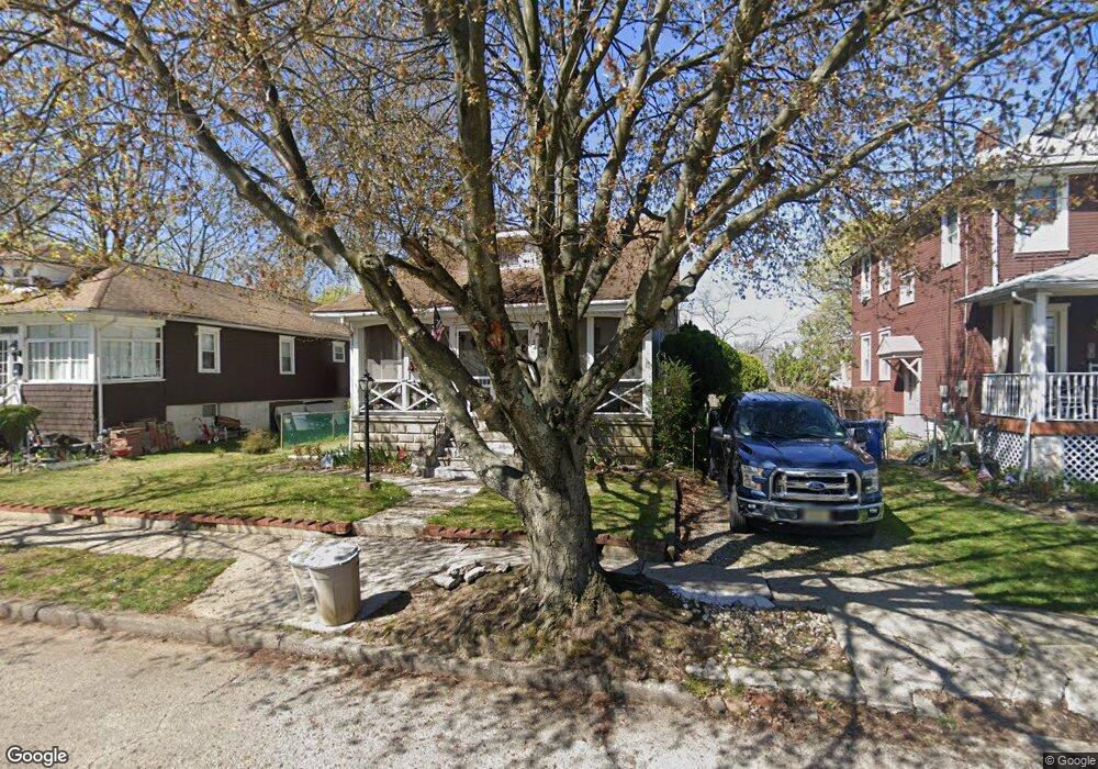
34 S Pine Ave Maple Shade, NJ 08052
Estimated Value: $231,000 - $267,000
Studio
--
Bath
1,238
Sq Ft
$201/Sq Ft
Est. Value
About This Home
This home is located at 34 S Pine Ave, Maple Shade, NJ 08052 and is currently estimated at $248,748, approximately $200 per square foot. 34 S Pine Ave is a home located in Burlington County with nearby schools including Ralph J Steinhauer Elementary School, Maude M. Wilkins Elementary School, and Howard R Yocum School.
Ownership History
Date
Name
Owned For
Owner Type
Purchase Details
Closed on
Oct 31, 2003
Sold by
Mctigue Michael J
Bought by
Mctigue Michael J and Mctigue Amy
Current Estimated Value
Home Financials for this Owner
Home Financials are based on the most recent Mortgage that was taken out on this home.
Original Mortgage
$110,500
Outstanding Balance
$59,555
Interest Rate
8.4%
Mortgage Type
Purchase Money Mortgage
Estimated Equity
$189,193
Purchase Details
Closed on
Jul 31, 1996
Sold by
Ritting Carol and Brubaker Norman
Bought by
Mctigue Michael
Create a Home Valuation Report for This Property
The Home Valuation Report is an in-depth analysis detailing your home's value as well as a comparison with similar homes in the area
Home Values in the Area
Average Home Value in this Area
Purchase History
| Date | Buyer | Sale Price | Title Company |
|---|---|---|---|
| Mctigue Michael J | -- | Ctl Title Ins Agency Inc | |
| Mctigue Michael | $90,000 | Southern Counties Title Agen |
Source: Public Records
Mortgage History
| Date | Status | Borrower | Loan Amount |
|---|---|---|---|
| Open | Mctigue Michael J | $110,500 |
Source: Public Records
Tax History
| Year | Tax Paid | Tax Assessment Tax Assessment Total Assessment is a certain percentage of the fair market value that is determined by local assessors to be the total taxable value of land and additions on the property. | Land | Improvement |
|---|---|---|---|---|
| 2025 | $5,246 | $138,200 | $45,200 | $93,000 |
| 2024 | $5,094 | $138,200 | $45,200 | $93,000 |
| 2023 | $5,094 | $138,200 | $45,200 | $93,000 |
| 2022 | $5,015 | $138,200 | $45,200 | $93,000 |
| 2021 | $4,967 | $138,200 | $45,200 | $93,000 |
| 2020 | $4,981 | $138,200 | $45,200 | $93,000 |
| 2019 | $4,798 | $138,200 | $45,200 | $93,000 |
| 2018 | $4,715 | $138,200 | $45,200 | $93,000 |
| 2017 | $4,660 | $138,200 | $45,200 | $93,000 |
| 2016 | $4,591 | $138,200 | $45,200 | $93,000 |
| 2015 | $4,492 | $138,200 | $45,200 | $93,000 |
| 2014 | $4,355 | $138,200 | $45,200 | $93,000 |
Source: Public Records
Map
Nearby Homes
- 44 S Pine Ave
- 15 S Pine Ave
- 207 Bailey Ave
- 2937 Route 73 S
- 120 E Center Ave
- 99 Grant Ave
- 411 C12 Stiles Ave Unit C-12
- 22 Theodore Ave
- 114 Grant Ave
- 620 N Lincoln Ave
- 506 N Garfield Ave
- 63 Mecray Ln
- 21 N Lenola Rd
- 117 Domenica Dr
- 33 Vincent Way
- 9 N Lenola Rd
- 20 -22 New Albany Rd
- 11 Errickson Ave
- 115 E Kings Hwy Unit 125
- 115 E Kings Hwy Unit 211