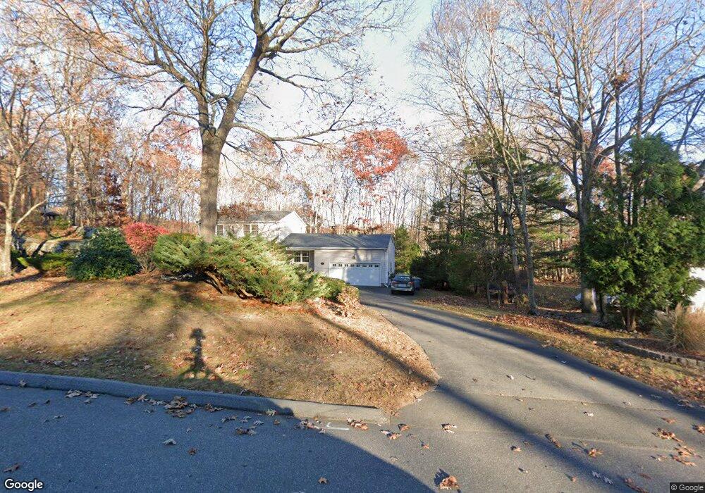
34 S Ridge Rd Niantic, CT 06357
Estimated Value: $507,135 - $650,000
3
Beds
3
Baths
1,808
Sq Ft
$326/Sq Ft
Est. Value
About This Home
This home is located at 34 S Ridge Rd, Niantic, CT 06357 and is currently estimated at $589,534, approximately $326 per square foot. 34 S Ridge Rd is a home located in New London County with nearby schools including East Lyme Middle School, East Lyme High School, and The Light House Voc-Ed Center.
Ownership History
Date
Name
Owned For
Owner Type
Purchase Details
Closed on
May 5, 1996
Sold by
Poper Frank A and Poper Jean M
Bought by
Nichols Ronald O and Nichols Beverly A
Current Estimated Value
Purchase Details
Closed on
Oct 31, 1989
Sold by
Anderson Ronald
Bought by
Loper Frank
Create a Home Valuation Report for This Property
The Home Valuation Report is an in-depth analysis detailing your home's value as well as a comparison with similar homes in the area
Home Values in the Area
Average Home Value in this Area
Purchase History
| Date | Buyer | Sale Price | Title Company |
|---|---|---|---|
| Nichols Ronald O | $195,000 | -- | |
| Loper Frank | $215,000 | -- |
Source: Public Records
Mortgage History
| Date | Status | Borrower | Loan Amount |
|---|---|---|---|
| Open | Loper Frank | $50,000 | |
| Closed | Loper Frank | $50,000 | |
| Closed | Loper Frank | $55,000 | |
| Closed | Loper Frank | $171,000 |
Source: Public Records
Tax History
| Year | Tax Paid | Tax Assessment Tax Assessment Total Assessment is a certain percentage of the fair market value that is determined by local assessors to be the total taxable value of land and additions on the property. | Land | Improvement |
|---|---|---|---|---|
| 2025 | $6,753 | $241,080 | $89,670 | $151,410 |
| 2024 | $6,352 | $241,080 | $89,670 | $151,410 |
| 2023 | $5,998 | $241,080 | $89,670 | $151,410 |
| 2022 | $5,747 | $241,080 | $89,670 | $151,410 |
| 2021 | $6,087 | $213,500 | $94,360 | $119,140 |
| 2020 | $6,148 | $216,790 | $94,360 | $122,430 |
| 2019 | $6,111 | $216,790 | $94,360 | $122,430 |
| 2018 | $5,929 | $216,790 | $94,360 | $122,430 |
| 2017 | $5,671 | $216,790 | $94,360 | $122,430 |
| 2016 | $5,304 | $209,160 | $94,360 | $114,800 |
| 2015 | $5,168 | $209,160 | $94,360 | $114,800 |
| 2014 | $5,026 | $209,160 | $94,360 | $114,800 |
Source: Public Records
Map
Nearby Homes
- 10 S Ledge Rock Rd
- 47 Oswegatchie Hills Rd
- 37 Stoneywood Dr
- 20 North Rd
- 82 Roxbury Rd
- 80 Roxbury Rd
- 46 Village Crossing Unit 46
- 47 Village Crossing Unit 47
- 43 Village Crossing Unit 43
- 269 Flanders Rd Unit 1B
- 185 Main St Unit 301
- 185 Main St Unit 305
- 468 Main St Unit 318
- 468 Main St Unit 111
- 97 W Main St Unit 36
- 43 Roxbury Ct
- 163 Oswegatchie Rd
- 55 Corey Ln
- 138 Boston Post Rd Unit 10
- 138 Boston Post Rd Unit 11
- 40 S Ridge Rd
- 30 S Ridge Rd
- 108 Sleepy Hollow Rd
- 15 Greencliff Dr
- 24 S Ridge Rd
- 31 S Ridge Rd
- 35 S Ridge Rd
- 7 Greencliff Dr
- 55 Greencliff Dr
- 21 Stone Cliff Dr
- 21 Greencliff Dr
- 20 S Ridge Rd
- 39 Greencliff Dr
- 14 Greencliff Dr
- 31 Greencliff Dr
- 47 Greencliff Dr
- 20 Greencliff Dr
- 8 Greencliff Dr
- 56 Greencliff Dr
- 16 S Ridge Rd
Your Personal Tour Guide
Ask me questions while you tour the home.