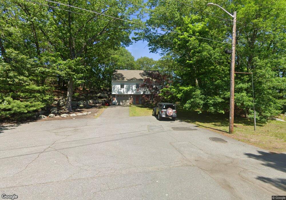
34 S View Rd Lynn, MA 01904
Indian Ridge NeighborhoodEstimated Value: $668,000 - $831,000
3
Beds
2
Baths
1,462
Sq Ft
$500/Sq Ft
Est. Value
About This Home
This home is located at 34 S View Rd, Lynn, MA 01904 and is currently estimated at $731,149, approximately $500 per square foot. 34 S View Rd is a home located in Essex County with nearby schools including Lynn Woods Elementary School, William R. Fallon School, and Pickering Middle School.
Ownership History
Date
Name
Owned For
Owner Type
Purchase Details
Closed on
Apr 30, 2020
Sold by
Leblanc Mary E
Bought by
Patri Mary E and Patri Steven D
Current Estimated Value
Purchase Details
Closed on
Aug 28, 1998
Sold by
Robbins Elizabeth R and Robbins Ruth E
Bought by
Leblanc Mary Ellen
Create a Home Valuation Report for This Property
The Home Valuation Report is an in-depth analysis detailing your home's value as well as a comparison with similar homes in the area
Home Values in the Area
Average Home Value in this Area
Purchase History
| Date | Buyer | Sale Price | Title Company |
|---|---|---|---|
| Patri Mary E | -- | None Available | |
| Leblanc Mary Ellen | $197,900 | -- |
Source: Public Records
Mortgage History
| Date | Status | Borrower | Loan Amount |
|---|---|---|---|
| Previous Owner | Leblanc Mary Ellen | $284,900 | |
| Previous Owner | Leblanc Mary Ellen | $15,900 | |
| Previous Owner | Leblanc Mary Ellen | $256,000 |
Source: Public Records
Tax History
| Year | Tax Paid | Tax Assessment Tax Assessment Total Assessment is a certain percentage of the fair market value that is determined by local assessors to be the total taxable value of land and additions on the property. | Land | Improvement |
|---|---|---|---|---|
| 2025 | $6,653 | $642,200 | $217,500 | $424,700 |
| 2024 | $5,939 | $564,000 | $201,300 | $362,700 |
| 2023 | $5,669 | $508,400 | $194,500 | $313,900 |
| 2022 | $5,155 | $414,700 | $172,500 | $242,200 |
| 2021 | $5,482 | $420,700 | $169,800 | $250,900 |
| 2020 | $5,655 | $422,000 | $179,300 | $242,700 |
| 2019 | $5,618 | $392,900 | $156,800 | $236,100 |
| 2018 | $5,669 | $374,200 | $169,400 | $204,800 |
| 2017 | $5,193 | $332,900 | $147,300 | $185,600 |
| 2016 | $5,063 | $312,900 | $134,700 | $178,200 |
| 2015 | $4,970 | $296,700 | $134,700 | $162,000 |
Source: Public Records
Map
Nearby Homes
- 30 Longwood Rd
- 9 Sutcliffe Rd
- 275 Lynnfield St Unit 275
- 30 Fair Oaks Ave
- 333 Lynnfield St
- 175 Jenness St
- 75 Park Rd
- 103 Kernwood Dr
- 43 Gedney Dr
- 52 Savory St Unit 52
- 52 Savory St Unit A
- 42 Great Woods Rd
- 54 Harris Rd
- 2 Anchor Rd
- 217 Cedar Brook Rd
- 9 Hermon Rd
- 26 Bartholomew Terrace
- 325 Den Quarry Rd
- 277 Euclid Ave
- 5 Floyd Ave
Your Personal Tour Guide
Ask me questions while you tour the home.