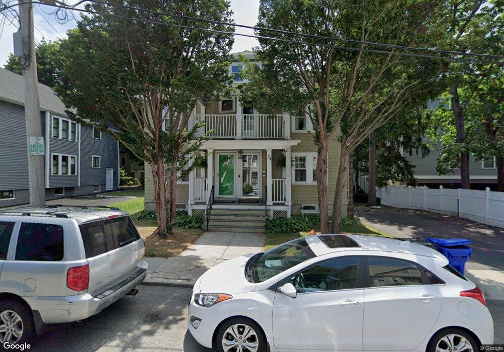
34 Sheafe St Unit 2 Chestnut Hill, MA 02467
Chestnut Hill NeighborhoodEstimated Value: $1,120,000 - $1,258,870
4
Beds
2
Baths
1,960
Sq Ft
$607/Sq Ft
Est. Value
About This Home
This home is located at 34 Sheafe St Unit 2, Chestnut Hill, MA 02467 and is currently estimated at $1,188,968, approximately $606 per square foot. 34 Sheafe St Unit 2 is a home located in Norfolk County with nearby schools including Heath Elementary School, Brimmer & May School, and The Chestnut Hill School.
Ownership History
Date
Name
Owned For
Owner Type
Purchase Details
Closed on
Dec 1, 2004
Sold by
Lotus Re Inv Llc
Bought by
Weintraub Eleanor
Current Estimated Value
Home Financials for this Owner
Home Financials are based on the most recent Mortgage that was taken out on this home.
Original Mortgage
$350,000
Outstanding Balance
$174,813
Interest Rate
5.69%
Mortgage Type
Purchase Money Mortgage
Estimated Equity
$1,014,155
Create a Home Valuation Report for This Property
The Home Valuation Report is an in-depth analysis detailing your home's value as well as a comparison with similar homes in the area
Home Values in the Area
Average Home Value in this Area
Purchase History
| Date | Buyer | Sale Price | Title Company |
|---|---|---|---|
| Weintraub Eleanor | $600,000 | -- |
Source: Public Records
Mortgage History
| Date | Status | Borrower | Loan Amount |
|---|---|---|---|
| Open | Weintraub Eleanor | $350,000 |
Source: Public Records
Tax History Compared to Growth
Tax History
| Year | Tax Paid | Tax Assessment Tax Assessment Total Assessment is a certain percentage of the fair market value that is determined by local assessors to be the total taxable value of land and additions on the property. | Land | Improvement |
|---|---|---|---|---|
| 2025 | $10,334 | $1,047,000 | $0 | $1,047,000 |
| 2024 | $10,029 | $1,026,500 | $0 | $1,026,500 |
| 2023 | $9,850 | $988,000 | $0 | $988,000 |
| 2022 | $9,775 | $959,300 | $0 | $959,300 |
| 2021 | $9,308 | $949,800 | $0 | $949,800 |
| 2020 | $8,887 | $940,400 | $0 | $940,400 |
| 2019 | $8,393 | $895,700 | $0 | $895,700 |
| 2018 | $8,069 | $853,000 | $0 | $853,000 |
| 2017 | $7,803 | $789,800 | $0 | $789,800 |
| 2016 | $7,482 | $718,000 | $0 | $718,000 |
| 2015 | $6,971 | $652,700 | $0 | $652,700 |
| 2014 | $6,971 | $612,000 | $0 | $612,000 |
Source: Public Records
Map
Nearby Homes
- 3 Glenoe Rd
- 0 Glenoe Rd
- 15 Glenland Rd
- 11 Hammond Pond Pkwy Unit 3
- 76 Norfolk Rd
- 33 Hammond Pond Pkwy Unit 2
- 321 Hammond Pond Pkwy Unit 103
- 321 Hammond Pond Pkwy Unit 301
- 771 Heath St Unit 771
- 1014 Boylston St
- 138 Woodland Rd
- 809-811 Heath St Unit 811
- 335 Heath St
- 799 Heath St Unit 2
- 811 Heath St
- 174 Middlesex Rd
- 5 Heathwood Ln
- 85 Gate House Rd
- 130 Cabot St
- 142 Crafts Rd
- 34 Sheafe St Unit 2,34
- 34 Sheafe St Unit 1,34
- 30 Sheafe St Unit 1
- 30 Sheafe St
- 30 Sheafe St
- 30 Sheafe St Unit sheafe st
- 30 Sheafe St Unit A
- 30 Sheafe St Unit B
- 26 Sheafe St Unit 1
- 26 Sheafe St
- 26 Sheafe St
- 26 Sheafe St Unit 2
- 26 Sheafe St Unit B
- 35 Sheafe St
- 35 Sheafe St
- 35 Sheafe St Unit 2
- 35 Sheafe St Unit 1
- 563 Heath St Unit 1
- 563 Heath St Unit 3
- 563 Heath St Unit 2