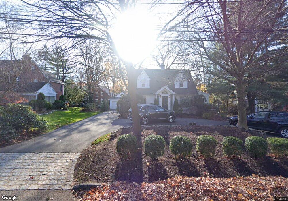
34 Sherwood Rd Tenafly, NJ 07670
Estimated Value: $1,510,000 - $1,630,000
4
Beds
4
Baths
2,628
Sq Ft
$591/Sq Ft
Est. Value
About This Home
This home is located at 34 Sherwood Rd, Tenafly, NJ 07670 and is currently estimated at $1,553,282, approximately $591 per square foot. 34 Sherwood Rd is a home located in Bergen County with nearby schools including Tenafly Middle School, Tenafly High School, and Academy of Our Lady of Mount Carmel.
Ownership History
Date
Name
Owned For
Owner Type
Purchase Details
Closed on
Apr 14, 2020
Sold by
Holden Matthew Lee and Holden Briana Goldffin
Bought by
David Aaron Joseph and David Emily Freeman
Current Estimated Value
Home Financials for this Owner
Home Financials are based on the most recent Mortgage that was taken out on this home.
Original Mortgage
$768,000
Outstanding Balance
$679,063
Interest Rate
3.3%
Mortgage Type
New Conventional
Estimated Equity
$874,219
Purchase Details
Closed on
Feb 10, 2009
Sold by
Giordano Marie and Gordano Guy V
Bought by
Holden Matthew Lee and Goldfein Holden Briana
Create a Home Valuation Report for This Property
The Home Valuation Report is an in-depth analysis detailing your home's value as well as a comparison with similar homes in the area
Home Values in the Area
Average Home Value in this Area
Purchase History
| Date | Buyer | Sale Price | Title Company |
|---|---|---|---|
| David Aaron Joseph | $960,000 | First American Title | |
| Holden Matthew Lee | $830,000 | -- |
Source: Public Records
Mortgage History
| Date | Status | Borrower | Loan Amount |
|---|---|---|---|
| Open | David Aaron Joseph | $768,000 |
Source: Public Records
Tax History Compared to Growth
Tax History
| Year | Tax Paid | Tax Assessment Tax Assessment Total Assessment is a certain percentage of the fair market value that is determined by local assessors to be the total taxable value of land and additions on the property. | Land | Improvement |
|---|---|---|---|---|
| 2025 | $23,160 | $825,000 | $497,000 | $328,000 |
| 2024 | $22,597 | $815,200 | $497,000 | $318,200 |
| 2023 | $22,051 | $815,200 | $497,000 | $318,200 |
| 2022 | $22,051 | $815,200 | $497,000 | $318,200 |
| 2021 | $21,660 | $815,200 | $497,000 | $318,200 |
| 2020 | $21,342 | $815,200 | $497,000 | $318,200 |
| 2019 | $20,967 | $815,200 | $497,000 | $318,200 |
| 2018 | $20,641 | $815,200 | $497,000 | $318,200 |
| 2017 | $20,568 | $815,200 | $497,000 | $318,200 |
| 2016 | $20,160 | $815,200 | $497,000 | $318,200 |
| 2015 | $19,712 | $797,100 | $497,000 | $300,100 |
| 2014 | $18,915 | $797,100 | $497,000 | $300,100 |
Source: Public Records
Map
Nearby Homes
- 29 Woodland Park Dr
- 12 Westervelt Ave
- 20 Westervelt Ave
- 162 Elm St
- 54 Westervelt Ave Unit B
- 51 W Hudson Ave Unit 16
- 63 W Hudson Ave Unit C5
- 76 Franklin St Unit B
- 84 Howard Park Dr
- 461 Tenafly Rd Unit A8
- 57 George St
- 48 Windsor Rd
- 136 Stonehurst Dr
- 109 Stonehurst Dr
- 4 Depeyster Ave
- 46 Benjamin Rd
- 43 Oak Ave
- 22 Old Smith Rd
- 58 Country Club Rd
- 54 Oak Ave