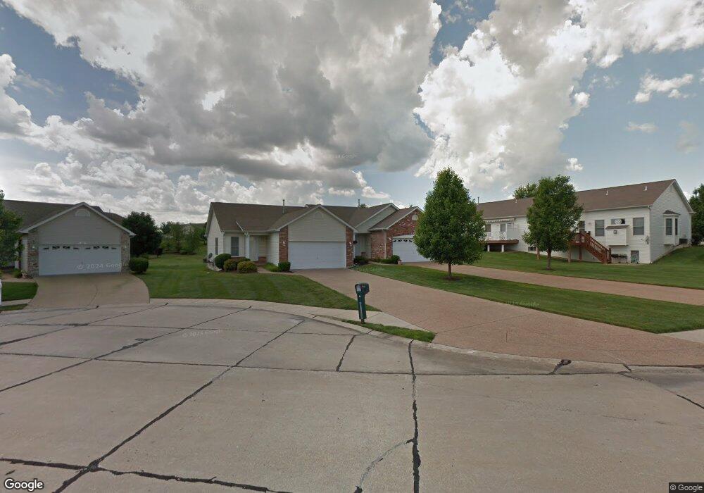
34 Silo Summit Ct Wentzville, MO 63385
Estimated Value: $271,788 - $312,000
2
Beds
2
Baths
1,233
Sq Ft
$238/Sq Ft
Est. Value
About This Home
This home is located at 34 Silo Summit Ct, Wentzville, MO 63385 and is currently estimated at $293,697, approximately $238 per square foot. 34 Silo Summit Ct is a home located in St. Charles County with nearby schools including STONE CREEK ELEMENTARY.
Ownership History
Date
Name
Owned For
Owner Type
Purchase Details
Closed on
Apr 13, 2005
Sold by
Corcoran Dennis W and Corcoran Carol L
Bought by
Wood James L and Wood Frances L
Current Estimated Value
Purchase Details
Closed on
Oct 30, 2003
Sold by
Whittaker Builders Inc
Bought by
Corcoran Dennis W and Corcoran Carol L
Home Financials for this Owner
Home Financials are based on the most recent Mortgage that was taken out on this home.
Original Mortgage
$60,000
Interest Rate
5.96%
Mortgage Type
Purchase Money Mortgage
Create a Home Valuation Report for This Property
The Home Valuation Report is an in-depth analysis detailing your home's value as well as a comparison with similar homes in the area
Home Values in the Area
Average Home Value in this Area
Purchase History
| Date | Buyer | Sale Price | Title Company |
|---|---|---|---|
| Wood James L | $160,000 | Ust | |
| Corcoran Dennis W | -- | -- |
Source: Public Records
Mortgage History
| Date | Status | Borrower | Loan Amount |
|---|---|---|---|
| Previous Owner | Corcoran Dennis W | $60,000 |
Source: Public Records
Tax History Compared to Growth
Tax History
| Year | Tax Paid | Tax Assessment Tax Assessment Total Assessment is a certain percentage of the fair market value that is determined by local assessors to be the total taxable value of land and additions on the property. | Land | Improvement |
|---|---|---|---|---|
| 2025 | $3,209 | $47,955 | -- | -- |
| 2023 | $3,209 | $46,396 | $0 | $0 |
| 2022 | $2,940 | $39,543 | $0 | $0 |
| 2021 | $2,942 | $39,543 | $0 | $0 |
| 2020 | $2,963 | $38,178 | $0 | $0 |
| 2019 | $2,748 | $37,896 | $0 | $0 |
| 2018 | $2,400 | $31,520 | $0 | $0 |
| 2017 | $2,400 | $31,520 | $0 | $0 |
| 2016 | $2,181 | $27,415 | $0 | $0 |
| 2015 | $606 | $27,415 | $0 | $0 |
| 2014 | $873 | $22,557 | $0 | $0 |
Source: Public Records
Map
Nearby Homes
- 127 Silo Valley Dr
- 160 Silo View Dr Unit 382B
- 1418 Devonshire County Dr
- 115 Kelcross Dr
- 120 Kelcross Dr
- 421 Wind Creek Dr
- 518 Copper Stone Dr
- 1035 Morgan Meadow Dr
- Rebecca Plan at Arbor Valley
- Sacramento Plan at Arbor Valley
- Grayson 2 Plan at Arbor Valley
- Addison Plan at Arbor Valley
- Willow Plan at Arbor Valley
- Westhampton 2 Plan at Arbor Valley
- Durango Plan at Arbor Valley
- Hudson Plan at Arbor Valley
- San Diego Plan at Arbor Valley
- Denver Plan at Arbor Valley
- 7 Sturgeon Ct
- 812 Cadbury Dr
- 36 Silo Summit Ct
- 38 Silo Summit Ct
- 178 Silo View Dr
- 40 Silo Summit Ct
- 176 Silo View Dr
- 176 Silo View Dr Unit 374B
- 42 Silo Summit Ct
- 39 Silo Summit Ct
- 39 Silo Summit Ct Unit 378A
- 41 Silo Summit Ct
- 37 Silo Summit Ct
- 37 Silo Summit Ct Unit 378b
- 1182 Silo Bend Dr
- 1180 Silo Bend Dr
- 129 Silo Valley Dr
- 125 Silo Valley Dr
- 35 Silo Summit Ct
- 1184 Silo Bend Dr
- 131 Silo Valley Dr
- 1178 Silo Bend Dr