34 Stringer Dr Doylestown, PA 18901
Estimated Value: $754,922 - $916,000
4
Beds
3
Baths
2,441
Sq Ft
$343/Sq Ft
Est. Value
About This Home
This home is located at 34 Stringer Dr, Doylestown, PA 18901 and is currently estimated at $836,231, approximately $342 per square foot. 34 Stringer Dr is a home located in Bucks County with nearby schools including Kutz Elementary School, Lenape Middle School, and Central Bucks High School-West.
Ownership History
Date
Name
Owned For
Owner Type
Purchase Details
Closed on
Jul 9, 1997
Sold by
Garvey James C and Garvey Janine Marie
Bought by
Stratton David W and Stratton Suzanne D
Current Estimated Value
Home Financials for this Owner
Home Financials are based on the most recent Mortgage that was taken out on this home.
Original Mortgage
$237,500
Outstanding Balance
$34,912
Interest Rate
7.79%
Estimated Equity
$801,319
Purchase Details
Closed on
Oct 22, 1987
Bought by
Garvey James C and Janine Marie
Create a Home Valuation Report for This Property
The Home Valuation Report is an in-depth analysis detailing your home's value as well as a comparison with similar homes in the area
Home Values in the Area
Average Home Value in this Area
Purchase History
| Date | Buyer | Sale Price | Title Company |
|---|---|---|---|
| Stratton David W | $250,000 | -- | |
| Garvey James C | $243,000 | -- |
Source: Public Records
Mortgage History
| Date | Status | Borrower | Loan Amount |
|---|---|---|---|
| Open | Stratton David W | $237,500 |
Source: Public Records
Tax History
| Year | Tax Paid | Tax Assessment Tax Assessment Total Assessment is a certain percentage of the fair market value that is determined by local assessors to be the total taxable value of land and additions on the property. | Land | Improvement |
|---|---|---|---|---|
| 2025 | $7,928 | $44,800 | $7,120 | $37,680 |
| 2024 | $7,928 | $44,800 | $7,120 | $37,680 |
| 2023 | $7,560 | $44,800 | $7,120 | $37,680 |
| 2022 | $7,475 | $44,800 | $7,120 | $37,680 |
| 2021 | $7,321 | $44,800 | $7,120 | $37,680 |
| 2020 | $7,288 | $44,800 | $7,120 | $37,680 |
| 2019 | $7,209 | $44,800 | $7,120 | $37,680 |
| 2018 | $7,187 | $44,800 | $7,120 | $37,680 |
| 2017 | $7,131 | $44,800 | $7,120 | $37,680 |
| 2016 | $7,086 | $44,800 | $7,120 | $37,680 |
| 2015 | -- | $44,800 | $7,120 | $37,680 |
| 2014 | -- | $44,800 | $7,120 | $37,680 |
Source: Public Records
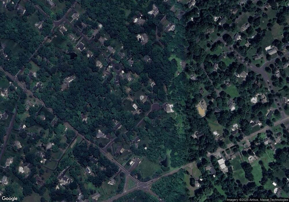
Map
Nearby Homes
- 106 Saddle Dr
- 3066 Cloverly Dr
- 152 Watercrest Dr
- 3197 Brookside Dr
- 223 Cherry Ln
- 150 Watercrest Dr
- 2437 N Whittmore St
- 000 Cherry Ln
- 3114 E Brighton St Unit 32
- 2361 Turk Rd
- 1249 Pebble Hill Rd
- 563 Pebble Hill Rd
- 137 Pebble Woods Dri Pebble Woods Dr
- 45 Springs Dr
- 45 Bedford Ave
- 2947 Bridge St
- 34 Houk Rd
- 2209 Swamp Rd
- 2980 Yorkshire Rd
- 3889 Robin Rd
Your Personal Tour Guide
Ask me questions while you tour the home.