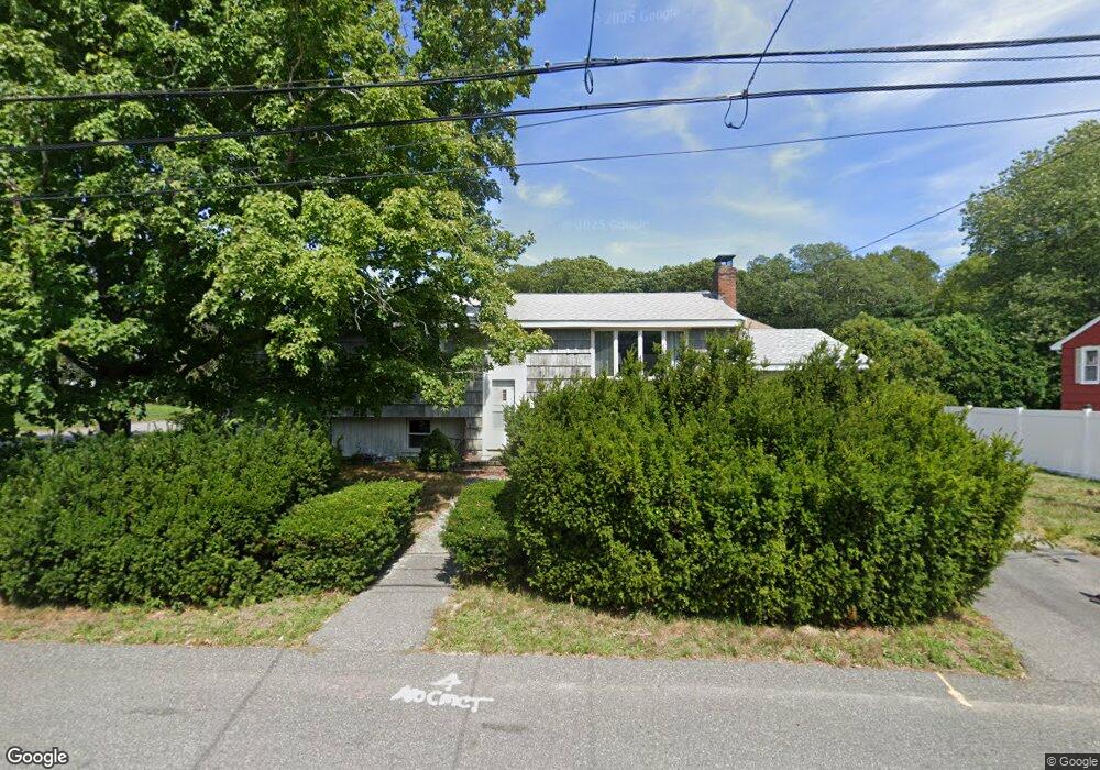
34 Sundin Rd Weymouth, MA 02188
Weymouth Landing NeighborhoodEstimated Value: $499,000 - $593,000
3
Beds
1
Bath
1,104
Sq Ft
$497/Sq Ft
Est. Value
About This Home
This home is located at 34 Sundin Rd, Weymouth, MA 02188 and is currently estimated at $548,464, approximately $496 per square foot. 34 Sundin Rd is a home located in Norfolk County with nearby schools including Abigail Adams Middle School, William Seach Elementary School, and Weymouth Middle School Chapman.
Create a Home Valuation Report for This Property
The Home Valuation Report is an in-depth analysis detailing your home's value as well as a comparison with similar homes in the area
Home Values in the Area
Average Home Value in this Area
Tax History Compared to Growth
Tax History
| Year | Tax Paid | Tax Assessment Tax Assessment Total Assessment is a certain percentage of the fair market value that is determined by local assessors to be the total taxable value of land and additions on the property. | Land | Improvement |
|---|---|---|---|---|
| 2025 | $4,771 | $472,400 | $226,500 | $245,900 |
| 2024 | $4,622 | $450,000 | $215,800 | $234,200 |
| 2023 | $4,395 | $420,600 | $199,800 | $220,800 |
| 2022 | $4,303 | $375,500 | $185,000 | $190,500 |
| 2021 | $4,246 | $361,700 | $185,000 | $176,700 |
| 2020 | $4,127 | $346,200 | $185,000 | $161,200 |
| 2019 | $4,026 | $332,200 | $177,900 | $154,300 |
| 2018 | $3,905 | $312,400 | $169,400 | $143,000 |
| 2017 | $3,801 | $296,700 | $161,400 | $135,300 |
| 2016 | $3,709 | $289,800 | $155,200 | $134,600 |
| 2015 | $3,544 | $274,700 | $148,100 | $126,600 |
| 2014 | $3,445 | $259,000 | $137,800 | $121,200 |
Source: Public Records
Map
Nearby Homes
- 42 Sundin Rd
- 286 Essex St
- 303 Middle St
- 449 Middle St
- 12 Klasson Ln
- 286 Broad St
- 367 Essex St
- 29-31 Broad Street Place
- 209 Lake St Unit 69
- 575 Broad St Unit 305
- 575 Broad St Unit 215
- 209 Lake Shore Dr
- 211 Lake Shore Dr
- 19 Vine St Unit 3
- 19 Vine St Unit 1
- 33 Congress St
- 114 Broad St Unit D
- 114 Broad St Unit C
- 215 Winter St Unit 1P
- 23-25 Lindbergh Ave