34 Todd Pond Rd Lincoln, MA 01773
Estimated Value: $476,375 - $542,000
1
Bed
1
Bath
1,002
Sq Ft
$509/Sq Ft
Est. Value
About This Home
This home is located at 34 Todd Pond Rd, Lincoln, MA 01773 and is currently estimated at $510,094, approximately $509 per square foot. 34 Todd Pond Rd is a home located in Middlesex County with nearby schools including Lincoln-Sudbury Regional High School and Corwin-Russell School at Broccoli Hall.
Ownership History
Date
Name
Owned For
Owner Type
Purchase Details
Closed on
Dec 16, 2011
Sold by
Me Schildbach T
Bought by
Swanton Leonard E
Current Estimated Value
Home Financials for this Owner
Home Financials are based on the most recent Mortgage that was taken out on this home.
Original Mortgage
$156,000
Outstanding Balance
$106,715
Interest Rate
4.01%
Mortgage Type
Purchase Money Mortgage
Estimated Equity
$403,379
Create a Home Valuation Report for This Property
The Home Valuation Report is an in-depth analysis detailing your home's value as well as a comparison with similar homes in the area
Home Values in the Area
Average Home Value in this Area
Purchase History
| Date | Buyer | Sale Price | Title Company |
|---|---|---|---|
| Swanton Leonard E | $195,000 | -- |
Source: Public Records
Mortgage History
| Date | Status | Borrower | Loan Amount |
|---|---|---|---|
| Open | Swanton Leonard E | $156,000 |
Source: Public Records
Tax History Compared to Growth
Tax History
| Year | Tax Paid | Tax Assessment Tax Assessment Total Assessment is a certain percentage of the fair market value that is determined by local assessors to be the total taxable value of land and additions on the property. | Land | Improvement |
|---|---|---|---|---|
| 2025 | $51 | $397,100 | $0 | $397,100 |
| 2024 | $4,782 | $371,000 | $0 | $371,000 |
| 2023 | $5,132 | $368,700 | $0 | $368,700 |
| 2022 | $4,445 | $297,700 | $0 | $297,700 |
| 2021 | $4,355 | $280,600 | $0 | $280,600 |
| 2020 | $4,310 | $280,600 | $0 | $280,600 |
| 2019 | $3,402 | $242,500 | $0 | $242,500 |
| 2018 | $3,298 | $242,500 | $0 | $242,500 |
| 2017 | $3,173 | $231,600 | $0 | $231,600 |
| 2016 | $3,209 | $229,400 | $0 | $229,400 |
| 2015 | $3,400 | $240,300 | $0 | $240,300 |
| 2014 | $3,494 | $242,500 | $0 | $242,500 |
Source: Public Records
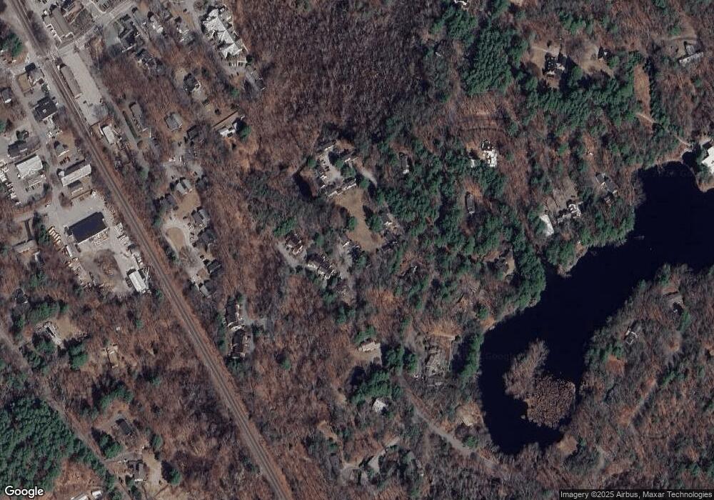
Map
Nearby Homes
- 130 Tower Rd
- 44 Baker Bridge Rd
- 152 S Great Rd
- 60 Baker Bridge Rd
- 244 Lincoln Rd
- 22 Lincoln Rd
- 93 Old Sudbury Rd
- 3 Clifford Ln
- 6 Clifford Ln
- 19 Conant Rd
- 12 Laurel Dr
- 33 Old Concord Rd
- 75 Westland Rd
- 121 Cherry Brook Rd
- 5 Peakes Ln
- 426 Conant Rd
- 416 Conant Rd
- 51 Willard Rd
- 134 Chestnut Cir
- 50 Windingwood Ln
- 38 Todd Pond Rd
- 36 Todd Pond Rd
- 35 Todd Pond Rd
- 33 Todd Pond Rd
- 33 Todd Pond Rd Unit 33
- 25 Greenridge Ln
- 24 Greenridge Ln
- 23 Greenridge Ln
- 22 Greenridge Ln
- 26 Greenridge Ln
- 21 Greenridge Ln
- 21 Greenridge Ln Unit 21
- 24 Greenridge Ln Unit 7
- 22 Greenridge Ln Unit 22
- 24 Greenridge Ln Unit 24
- 43 Todd Pond Rd
- 40 Todd Pond Rd
- 41 Todd Pond Rd
- 39 Todd Pond Rd
- 51 Greenridge Ln