34 Tomahawk Rd Nantucket, MA 02554
Estimated Value: $40,156,914
Studio
--
Bath
37,532
Sq Ft
$1,070/Sq Ft
Est. Value
About This Home
This home is located at 34 Tomahawk Rd, Nantucket, MA 02554 and is currently estimated at $40,156,914, approximately $1,069 per square foot. 34 Tomahawk Rd is a home located in Nantucket County with nearby schools including Nantucket Elementary School, Cyrus Peirce Middle School, and Nantucket High School.
Ownership History
Date
Name
Owned For
Owner Type
Purchase Details
Closed on
Dec 11, 2018
Sold by
Nantucket & Tomahawk Llc
Bought by
Go Store It Nantucket Llc
Current Estimated Value
Home Financials for this Owner
Home Financials are based on the most recent Mortgage that was taken out on this home.
Original Mortgage
$20,000,000
Outstanding Balance
$17,516,657
Interest Rate
4.8%
Mortgage Type
Undefined Multiple Amounts
Estimated Equity
$22,640,257
Purchase Details
Closed on
Nov 9, 2016
Sold by
Hillsboro & 15Th Llc
Bought by
Nantucket & Tomahawk Llc
Create a Home Valuation Report for This Property
The Home Valuation Report is an in-depth analysis detailing your home's value as well as a comparison with similar homes in the area
Home Values in the Area
Average Home Value in this Area
Purchase History
| Date | Buyer | Sale Price | Title Company |
|---|---|---|---|
| Go Store It Nantucket Llc | $25,850,000 | -- | |
| Nantucket & Tomahawk Llc | -- | -- | |
| Nantucket & Tomahawk Llc | -- | -- |
Source: Public Records
Mortgage History
| Date | Status | Borrower | Loan Amount |
|---|---|---|---|
| Open | Go Store It Nantucket Llc | $20,000,000 |
Source: Public Records
Tax History
| Year | Tax Paid | Tax Assessment Tax Assessment Total Assessment is a certain percentage of the fair market value that is determined by local assessors to be the total taxable value of land and additions on the property. | Land | Improvement |
|---|---|---|---|---|
| 2025 | $3,699 | $665,300 | $665,300 | $0 |
| 2024 | $3,358 | $633,600 | $633,600 | $0 |
| 2023 | $3,145 | $576,000 | $576,000 | $0 |
| 2022 | $27 | $418,900 | $418,900 | $0 |
| 2021 | $2,258 | $364,200 | $364,200 | $0 |
| 2020 | $2,134 | $364,200 | $364,200 | $0 |
| 2019 | $2,080 | $364,200 | $364,200 | $0 |
| 2018 | $1,471 | $275,900 | $275,900 | $0 |
| 2017 | $1,289 | $215,200 | $215,200 | $0 |
| 2016 | $861 | $256,300 | $256,300 | $0 |
| 2015 | $797 | $220,900 | $220,900 | $0 |
| 2014 | $831 | $220,900 | $220,900 | $0 |
Source: Public Records
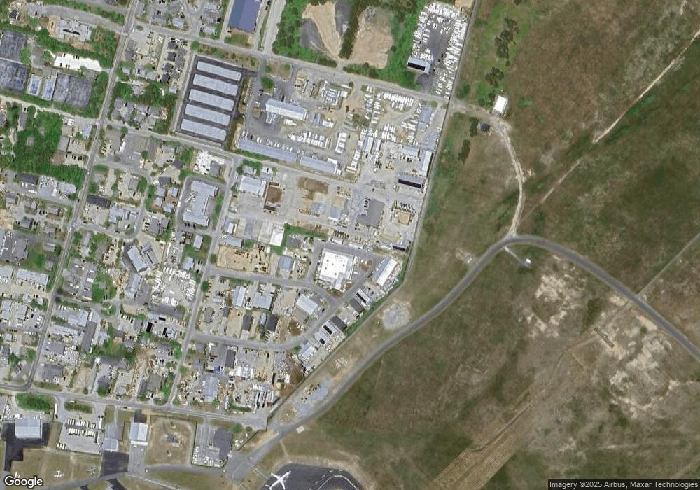
Map
Nearby Homes
- 133 A Old South Rd Unit A
- 1 Airport Rd Unit Lot A
- 1 Airport Rd Unit Lot B
- 106 Old South Rd Unit A Unit B
- 9 Nobadeer Way
- 4 Goldenrod Ct
- 10 Beach Grass Rd
- 2 Goldenrod Ct
- 11 Sesapana Rd
- 21 Kittiwake Ln
- 6 Honeysuckle Dr
- 20 Evergreen Way
- 87 Goldfinch Dr
- 20 Nancy Ann Ln
- 15 Nancy Ann Ln
- 11 Woodland Dr
- 15 Skyline Dr
- 44 Madequecham Valley Rd
- 48 Madequecham Valley Rd
- 2A Forest Ave Unit 5
- 19 Arrowhead Dr
- 4 Flint Rd
- 47 Hinsdale Rd
- 8 Flint Rd
- 6 Flint Rd
- 17 Spearhead Dr
- 7, 9 , 2 Arrowhead Drive & Spearhead Rd
- 20 Tomahawk Rd
- 7 Tomahawk Rd
- 15 & 17 Tomahawk Rd
- 13,15,17 Tomahawk Rd
- 16 Tomahawk Rd
- 37 Tomahawk Rd
- 23 & 25 Tomahawk Rd
- 39 Tomahawk Rd
- 29 Tomahawk Rd
- 27 Tomahawk Rd
- 41,43,45 Tomahawk Rd
- 18 Tomahawk Rd
- 19 & 21 Tomahawk Rd
Your Personal Tour Guide
Ask me questions while you tour the home.