Estimated Value: $1,124,000 - $1,249,000
4
Beds
3
Baths
3,112
Sq Ft
$382/Sq Ft
Est. Value
About This Home
This home is located at 34 Tuttle Dr, Acton, MA 01720 and is currently estimated at $1,188,810, approximately $382 per square foot. 34 Tuttle Dr is a home located in Middlesex County with nearby schools including Acton-Boxborough Regional High School, Maynard Knowledge Beginnings, and The Imago School.
Ownership History
Date
Name
Owned For
Owner Type
Purchase Details
Closed on
Oct 1, 2015
Sold by
Lee Jeri A
Bought by
Jeri Anne Lee Irt
Current Estimated Value
Purchase Details
Closed on
Jul 25, 2005
Sold by
Der-Ananian Paul G and Der-Ananian Priscilla V
Bought by
Smith Gregory E and Lee Jeri Anne
Home Financials for this Owner
Home Financials are based on the most recent Mortgage that was taken out on this home.
Original Mortgage
$275,000
Interest Rate
5.59%
Mortgage Type
Purchase Money Mortgage
Create a Home Valuation Report for This Property
The Home Valuation Report is an in-depth analysis detailing your home's value as well as a comparison with similar homes in the area
Home Values in the Area
Average Home Value in this Area
Purchase History
| Date | Buyer | Sale Price | Title Company |
|---|---|---|---|
| Jeri Anne Lee Irt | -- | -- | |
| Smith Gregory E | $714,000 | -- |
Source: Public Records
Mortgage History
| Date | Status | Borrower | Loan Amount |
|---|---|---|---|
| Previous Owner | Smith Gregory E | $275,000 |
Source: Public Records
Tax History Compared to Growth
Tax History
| Year | Tax Paid | Tax Assessment Tax Assessment Total Assessment is a certain percentage of the fair market value that is determined by local assessors to be the total taxable value of land and additions on the property. | Land | Improvement |
|---|---|---|---|---|
| 2025 | $16,816 | $980,500 | $358,400 | $622,100 |
| 2024 | $15,686 | $941,000 | $358,400 | $582,600 |
| 2023 | $15,581 | $887,300 | $326,000 | $561,300 |
| 2022 | $14,735 | $757,600 | $283,800 | $473,800 |
| 2021 | $14,382 | $710,900 | $262,100 | $448,800 |
| 2020 | $13,557 | $704,600 | $262,100 | $442,500 |
| 2019 | $13,065 | $674,500 | $262,100 | $412,400 |
| 2018 | $13,031 | $672,400 | $262,100 | $410,300 |
| 2017 | $12,688 | $665,700 | $262,100 | $403,600 |
| 2016 | $12,419 | $645,800 | $262,100 | $383,700 |
| 2015 | $12,173 | $639,000 | $262,100 | $376,900 |
| 2014 | $11,892 | $611,400 | $262,100 | $349,300 |
Source: Public Records
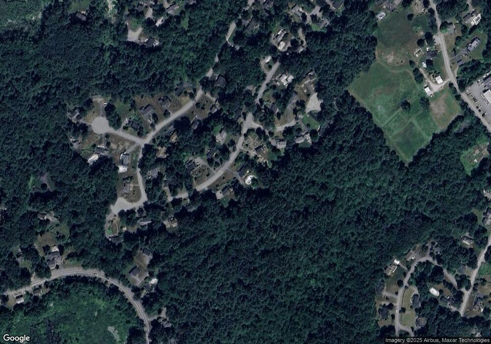
Map
Nearby Homes
- 4,7,8 Crestwood Ln
- 246 Main St Unit 2
- 7 Kelley Rd
- 116 Windsor Ave
- 19 Railroad St Unit D2
- 19 Railroad St Unit C2
- 131 Main St
- 129 Main St Unit 129
- 90 Willow St Unit 1
- 92 Willow St Unit 3
- 92 Willow St Unit 2
- 285 Central St Unit 285
- 40 High St
- 71 Liberty St
- 70 River St
- 5 Elm St Unit 1
- 46 Taylor Rd
- 11 Braebrook
- 2 Marble Farm Rd
- 128 Parker St Unit 3B