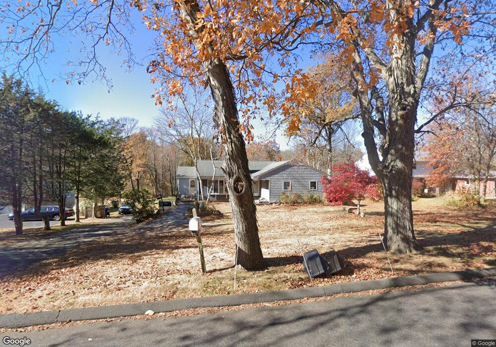
34 Two Mile Rd Farmington, CT 06032
Estimated Value: $472,487 - $491,000
3
Beds
2
Baths
1,758
Sq Ft
$274/Sq Ft
Est. Value
About This Home
This home is located at 34 Two Mile Rd, Farmington, CT 06032 and is currently estimated at $482,372, approximately $274 per square foot. 34 Two Mile Rd is a home located in Hartford County with nearby schools including East Farms School, West Woods Upper Elementary School, and Irving A. Robbins Middle School.
Ownership History
Date
Name
Owned For
Owner Type
Purchase Details
Closed on
Mar 23, 1993
Sold by
Wrobel Edward M and Wrobel Delores B
Bought by
Tedusco Maryann C and Tedusco Anthony J
Current Estimated Value
Home Financials for this Owner
Home Financials are based on the most recent Mortgage that was taken out on this home.
Original Mortgage
$130,000
Interest Rate
4.5%
Mortgage Type
Unknown
Create a Home Valuation Report for This Property
The Home Valuation Report is an in-depth analysis detailing your home's value as well as a comparison with similar homes in the area
Home Values in the Area
Average Home Value in this Area
Purchase History
| Date | Buyer | Sale Price | Title Company |
|---|---|---|---|
| Tedusco Maryann C | $180,000 | -- |
Source: Public Records
Mortgage History
| Date | Status | Borrower | Loan Amount |
|---|---|---|---|
| Open | Tedusco Maryann C | $205,000 | |
| Closed | Tedusco Maryann C | $129,500 | |
| Closed | Tedusco Maryann C | $130,000 | |
| Previous Owner | Tedusco Maryann C | $99,000 |
Source: Public Records
Tax History Compared to Growth
Tax History
| Year | Tax Paid | Tax Assessment Tax Assessment Total Assessment is a certain percentage of the fair market value that is determined by local assessors to be the total taxable value of land and additions on the property. | Land | Improvement |
|---|---|---|---|---|
| 2025 | $6,770 | $254,310 | $101,220 | $153,090 |
| 2024 | $6,472 | $254,310 | $101,220 | $153,090 |
| 2023 | $6,157 | $254,310 | $101,220 | $153,090 |
| 2022 | $6,206 | $211,680 | $92,610 | $119,070 |
| 2021 | $6,099 | $211,680 | $92,610 | $119,070 |
| 2020 | $5,921 | $211,680 | $92,610 | $119,070 |
| 2019 | $5,921 | $211,680 | $92,610 | $119,070 |
| 2018 | $5,753 | $211,680 | $92,610 | $119,070 |
| 2017 | $5,349 | $200,470 | $90,640 | $109,830 |
| 2016 | $5,168 | $200,470 | $90,640 | $109,830 |
| 2015 | $5,014 | $200,470 | $90,640 | $109,830 |
| 2014 | $4,900 | $200,480 | $90,650 | $109,830 |
Source: Public Records
Map
Nearby Homes
- 180 Batterson Park Rd
- 182 Batterson Park Rd
- 46 Robin Rd
- 93 South Rd
- 2 Farmington Meadow Dr
- 1 Yorkshire Ct Unit 1
- 5 Yorkshire Ct Unit 5
- 120 Yorkshire Ct Unit 120
- 200 Belridge Rd
- 40 Varmor Dr
- 198 Brittany Farms Rd Unit D
- 180 Brittany Farms Rd Unit D
- 123 Brittany Farms Rd Unit B
- 78 Birdseye Rd
- 16 Petemont Dr
- 00 Old Farm Dr
- 57 Merigold Dr
- 140 Lewis Rd
- 123 Merigold Dr
- 187 Miriam Rd