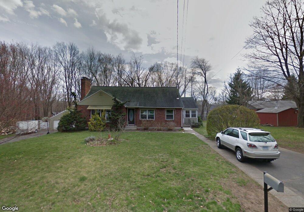
34 Union Place Manchester, CT 06042
Robertson NeighborhoodEstimated Value: $288,000 - $388,000
2
Beds
2
Baths
1,380
Sq Ft
$238/Sq Ft
Est. Value
About This Home
This home is located at 34 Union Place, Manchester, CT 06042 and is currently estimated at $327,997, approximately $237 per square foot. 34 Union Place is a home located in Hartford County with nearby schools including Robertson School, Illing Middle School, and Elisabeth M. Bennet Academy.
Ownership History
Date
Name
Owned For
Owner Type
Purchase Details
Closed on
Mar 26, 1998
Sold by
Alice L Est Eldridge and Eldridge Raymond L
Bought by
Stanley Paul L and Stanley Vicki L
Current Estimated Value
Create a Home Valuation Report for This Property
The Home Valuation Report is an in-depth analysis detailing your home's value as well as a comparison with similar homes in the area
Home Values in the Area
Average Home Value in this Area
Purchase History
| Date | Buyer | Sale Price | Title Company |
|---|---|---|---|
| Stanley Paul L | $125,000 | -- | |
| Stanley Paul L | $125,000 | -- |
Source: Public Records
Mortgage History
| Date | Status | Borrower | Loan Amount |
|---|---|---|---|
| Open | Stanley Paul L | $95,000 | |
| Closed | Stanley Paul L | $30,000 | |
| Closed | Stanley Paul L | $117,000 |
Source: Public Records
Tax History Compared to Growth
Tax History
| Year | Tax Paid | Tax Assessment Tax Assessment Total Assessment is a certain percentage of the fair market value that is determined by local assessors to be the total taxable value of land and additions on the property. | Land | Improvement |
|---|---|---|---|---|
| 2025 | $6,666 | $167,400 | $42,600 | $124,800 |
| 2024 | $6,475 | $167,400 | $42,600 | $124,800 |
| 2023 | $6,227 | $167,400 | $42,600 | $124,800 |
| 2022 | $6,105 | $167,400 | $42,600 | $124,800 |
| 2021 | $4,828 | $132,200 | $36,500 | $95,700 |
| 2020 | $4,828 | $132,200 | $36,500 | $95,700 |
| 2019 | $4,828 | $132,200 | $36,500 | $95,700 |
| 2018 | $4,734 | $132,200 | $36,500 | $95,700 |
| 2017 | $4,607 | $132,200 | $36,500 | $95,700 |
| 2016 | $4,778 | $137,100 | $47,900 | $89,200 |
| 2015 | $4,755 | $137,100 | $47,900 | $89,200 |
| 2014 | $4,661 | $137,100 | $47,900 | $89,200 |
Source: Public Records
Map
Nearby Homes
- 486 Tolland Turnpike
- 21 Chatsworth Ct
- 23 Chatsworth Ct
- 99 Union St
- 34 Donahue Ln Unit 34
- 74 North St
- 50 North St
- 244 Oakland St Unit E
- 244 Oakland St Unit H
- 17 North St
- 75 Gianna Dr Unit 75
- 213 Oakland St Unit D
- 15 Stock Place
- 13 Oak Forest Dr Unit 6
- 52 Charis Rd
- 156 Avery St
- 74 Westerly St
- 80 Westerly St
- 86 Westerly St
- 92 Westerly St