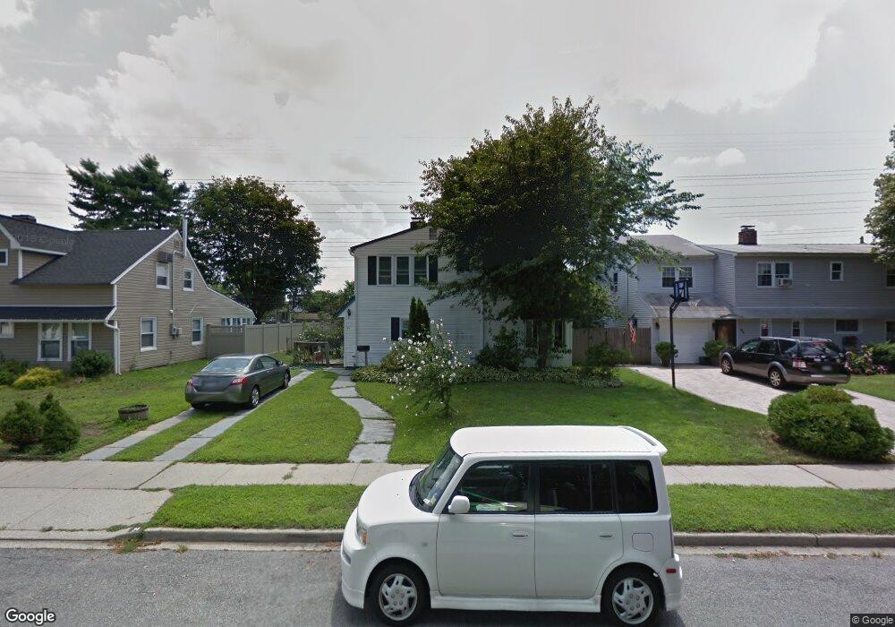
34 Universe Dr Levittown, NY 11756
Estimated Value: $609,000 - $722,831
5
Beds
2
Baths
1,400
Sq Ft
$476/Sq Ft
Est. Value
About This Home
This home is located at 34 Universe Dr, Levittown, NY 11756 and is currently estimated at $665,916, approximately $475 per square foot. 34 Universe Dr is a home located in Nassau County with nearby schools including J Fred Sparke Elementary School, Michael F. Stokes Elementary School, and Island Trees Middle School.
Ownership History
Date
Name
Owned For
Owner Type
Purchase Details
Closed on
Oct 24, 2016
Sold by
Hamilton Christine Lynn
Bought by
Rahman Kazi Mustafizur and Mukta Sabina Akter
Current Estimated Value
Home Financials for this Owner
Home Financials are based on the most recent Mortgage that was taken out on this home.
Original Mortgage
$298,800
Outstanding Balance
$239,696
Interest Rate
3.48%
Mortgage Type
New Conventional
Estimated Equity
$426,220
Purchase Details
Closed on
Oct 18, 2000
Sold by
Jones Leslie
Bought by
Hamilton Christine Lynn
Create a Home Valuation Report for This Property
The Home Valuation Report is an in-depth analysis detailing your home's value as well as a comparison with similar homes in the area
Home Values in the Area
Average Home Value in this Area
Purchase History
| Date | Buyer | Sale Price | Title Company |
|---|---|---|---|
| Rahman Kazi Mustafizur | $373,500 | Old Republic Title Insurance | |
| Hamilton Christine Lynn | $198,000 | Dennis Masino |
Source: Public Records
Mortgage History
| Date | Status | Borrower | Loan Amount |
|---|---|---|---|
| Open | Rahman Kazi Mustafizur | $298,800 |
Source: Public Records
Tax History Compared to Growth
Tax History
| Year | Tax Paid | Tax Assessment Tax Assessment Total Assessment is a certain percentage of the fair market value that is determined by local assessors to be the total taxable value of land and additions on the property. | Land | Improvement |
|---|---|---|---|---|
| 2025 | $10,253 | $402 | $209 | $193 |
| 2024 | $3,589 | $390 | $203 | $187 |
| 2023 | $10,210 | $421 | $219 | $202 |
| 2022 | $10,210 | $407 | $212 | $195 |
| 2021 | $12,689 | $407 | $227 | $180 |
| 2020 | $9,645 | $548 | $512 | $36 |
| 2019 | $9,323 | $587 | $459 | $128 |
| 2018 | $9,519 | $701 | $0 | $0 |
| 2017 | $5,297 | $701 | $548 | $153 |
| 2016 | $9,012 | $701 | $548 | $153 |
| 2015 | $3,283 | $701 | $548 | $153 |
| 2014 | $3,283 | $701 | $548 | $153 |
| 2013 | $2,981 | $701 | $548 | $153 |
Source: Public Records
Map
Nearby Homes
- 3680 Stokes Ave
- 43 Farmedge Rd
- 3562 Raven St
- 3520 Mallard Rd
- 149 Cardinal Rd
- 186 Robin Place
- 7 Lowland Rd
- 12 Carson St
- 472 Farmranch Rd E
- 107 Cardinal Rd
- 22 Lowland Rd
- 48 Bloomingdale Rd
- 101 Constellation Rd
- 35 Lowland Rd
- 49 Cutter Ln
- 307- 13 Hicksville Rd Unit 13
- 50 Cutter Ln
- 45 Lowland Rd
- 4 Wagon Ln
- 253 Hicksville Rd Unit 2K