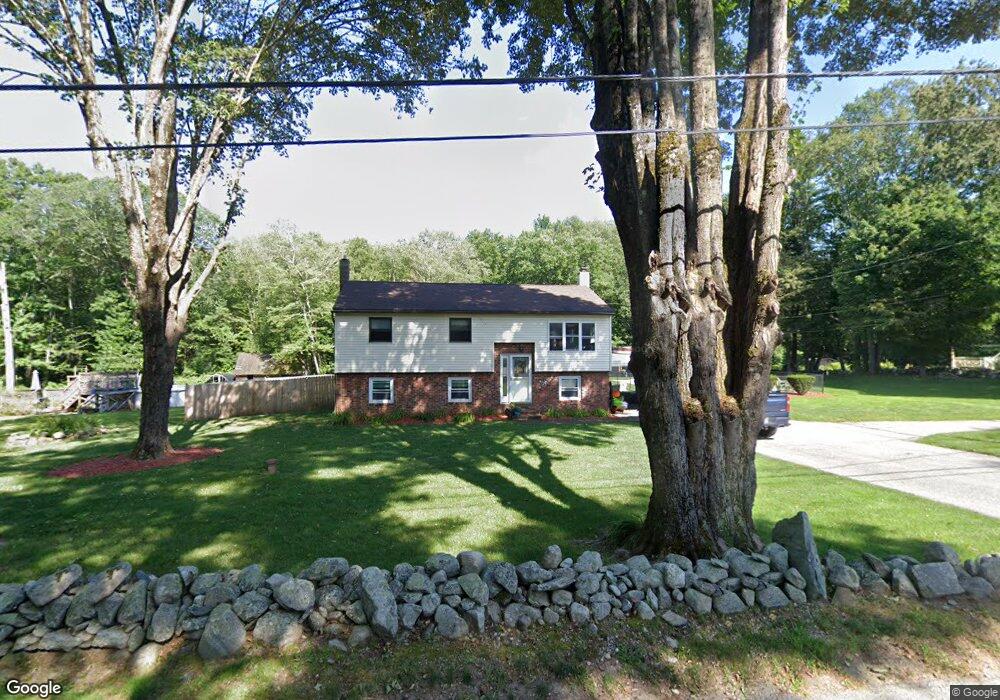
34 Whiting Rd Oxford, MA 01540
Estimated Value: $485,000 - $541,000
3
Beds
2
Baths
908
Sq Ft
$561/Sq Ft
Est. Value
About This Home
This home is located at 34 Whiting Rd, Oxford, MA 01540 and is currently estimated at $509,127, approximately $560 per square foot. 34 Whiting Rd is a home located in Worcester County with nearby schools including Alfred M Chaffee, Oxford High School, and Clara Barton Elementary School.
Ownership History
Date
Name
Owned For
Owner Type
Purchase Details
Closed on
Mar 8, 2021
Sold by
Joyce John J and Joyce Kristin L
Bought by
Joyce John J and Joyce Kristin L
Current Estimated Value
Purchase Details
Closed on
Mar 31, 2006
Sold by
Hillis James and Anderson Raquel E
Bought by
Leofanti Gloria N and Joyce John J
Home Financials for this Owner
Home Financials are based on the most recent Mortgage that was taken out on this home.
Original Mortgage
$214,400
Interest Rate
6.32%
Mortgage Type
Purchase Money Mortgage
Purchase Details
Closed on
Sep 15, 1995
Sold by
Edwards Ralph and Edwards Myra
Bought by
Ramirez Raquel
Purchase Details
Closed on
Dec 20, 1991
Sold by
Collard Patricia D
Bought by
Edwards Ralph J and Myra Edwards
Create a Home Valuation Report for This Property
The Home Valuation Report is an in-depth analysis detailing your home's value as well as a comparison with similar homes in the area
Home Values in the Area
Average Home Value in this Area
Purchase History
| Date | Buyer | Sale Price | Title Company |
|---|---|---|---|
| Joyce John J | -- | None Available | |
| Leofanti Gloria N | $268,000 | -- | |
| Ramirez Raquel | $129,000 | -- | |
| Edwards Ralph J | $117,000 | -- |
Source: Public Records
Mortgage History
| Date | Status | Borrower | Loan Amount |
|---|---|---|---|
| Previous Owner | Leofanti Gloria N | $214,400 | |
| Previous Owner | Edwards Ralph J | $160,000 |
Source: Public Records
Tax History Compared to Growth
Tax History
| Year | Tax Paid | Tax Assessment Tax Assessment Total Assessment is a certain percentage of the fair market value that is determined by local assessors to be the total taxable value of land and additions on the property. | Land | Improvement |
|---|---|---|---|---|
| 2025 | $54 | $428,300 | $108,700 | $319,600 |
| 2024 | $5,178 | $384,100 | $103,700 | $280,400 |
| 2023 | $5,178 | $379,600 | $99,200 | $280,400 |
| 2022 | $4,421 | $273,600 | $83,600 | $190,000 |
| 2021 | $4,309 | $260,700 | $79,400 | $181,300 |
| 2020 | $4,160 | $249,700 | $79,400 | $170,300 |
| 2019 | $4,022 | $236,200 | $79,100 | $157,100 |
| 2018 | $3,825 | $221,500 | $79,100 | $142,400 |
| 2017 | $3,769 | $223,700 | $75,800 | $147,900 |
| 2016 | $3,787 | $223,700 | $75,800 | $147,900 |
| 2015 | $3,532 | $223,700 | $75,800 | $147,900 |
| 2014 | $3,443 | $229,500 | $73,900 | $155,600 |
Source: Public Records
Map
Nearby Homes
- 18 Mckinstry Dr
- 20 Drury Ln
- 3 Lelandville Rd
- 62 Larned Rd
- 2 Lelandville Rd
- 0 Partridge Hill Rd
- 2 Potter Village Rd
- 124 Charlton St Unit F
- 28 Holly St
- 3 Willow St
- 4 Toria Heights Rd
- 4 Corey Dr
- 7 Dudley Rd
- 10 Friar Tuck Ln
- 13 Maid Marion St
- 36 Locust St
- 8 Bacon St
- 72 Charlton St
- 9 Howarth Rd
- 137 Main St