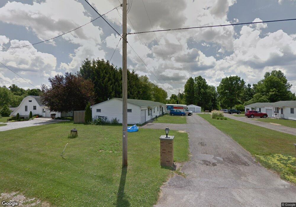
340 Apple Ln Unit 344 Mansfield, OH 44905
Estimated Value: $216,000 - $284,000
6
Beds
3
Baths
2,340
Sq Ft
$108/Sq Ft
Est. Value
About This Home
This home is located at 340 Apple Ln Unit 344, Mansfield, OH 44905 and is currently estimated at $251,598, approximately $107 per square foot. 340 Apple Ln Unit 344 is a home located in Richland County with nearby schools including Madison High School and St. Mary Catholic School.
Ownership History
Date
Name
Owned For
Owner Type
Purchase Details
Closed on
Jan 28, 2020
Sold by
Boyle Donald E and Boyle Kathleen M
Bought by
Boyle Kathleen M
Current Estimated Value
Purchase Details
Closed on
Jan 31, 2008
Sold by
Harp Patrick R and Harp Ronda A
Bought by
Boyle Kathleen M and Boyle Donald E
Home Financials for this Owner
Home Financials are based on the most recent Mortgage that was taken out on this home.
Original Mortgage
$100,725
Interest Rate
6.22%
Mortgage Type
Purchase Money Mortgage
Purchase Details
Closed on
Jan 7, 2004
Sold by
Harp Ronda A
Bought by
Harp Patrick R
Home Financials for this Owner
Home Financials are based on the most recent Mortgage that was taken out on this home.
Original Mortgage
$63,400
Interest Rate
5.94%
Mortgage Type
Purchase Money Mortgage
Purchase Details
Closed on
Apr 21, 1994
Bought by
Harp Patrick R
Create a Home Valuation Report for This Property
The Home Valuation Report is an in-depth analysis detailing your home's value as well as a comparison with similar homes in the area
Home Values in the Area
Average Home Value in this Area
Purchase History
| Date | Buyer | Sale Price | Title Company |
|---|---|---|---|
| Boyle Kathleen M | -- | Hawkins Title Research | |
| Boyle Kathleen M | $118,500 | Southern Title | |
| Harp Patrick R | -- | American Mid Ohio Title Agen | |
| Harp Patrick R | -- | -- |
Source: Public Records
Mortgage History
| Date | Status | Borrower | Loan Amount |
|---|---|---|---|
| Closed | Boyle Kathleen M | $100,725 | |
| Closed | Harp Patrick R | $63,400 | |
| Closed | Harp Patrick R | $63,400 |
Source: Public Records
Tax History Compared to Growth
Tax History
| Year | Tax Paid | Tax Assessment Tax Assessment Total Assessment is a certain percentage of the fair market value that is determined by local assessors to be the total taxable value of land and additions on the property. | Land | Improvement |
|---|---|---|---|---|
| 2024 | $2,458 | $49,600 | $9,260 | $40,340 |
| 2023 | $2,458 | $49,600 | $9,260 | $40,340 |
| 2022 | $2,076 | $37,100 | $8,270 | $28,830 |
| 2021 | $2,075 | $37,100 | $8,270 | $28,830 |
| 2020 | $2,091 | $37,100 | $8,270 | $28,830 |
| 2019 | $1,999 | $31,530 | $7,010 | $24,520 |
| 2018 | $1,872 | $31,530 | $7,010 | $24,520 |
| 2017 | $2,242 | $44,420 | $7,010 | $37,410 |
| 2016 | $1,900 | $31,580 | $4,830 | $26,750 |
| 2015 | $1,814 | $31,580 | $4,830 | $26,750 |
| 2014 | $1,807 | $31,580 | $4,830 | $26,750 |
| 2012 | $899 | $33,240 | $5,080 | $28,160 |
Source: Public Records
Map
Nearby Homes
- 1628 Park Ave E
- 419 N Mcelroy Rd
- 155 Ford Rd N
- 155 Ford Rd N Unit Lot 30
- 1303 Park Ave E
- 0 Mcelroy Rd
- 76 Ford Rd N
- 76 Ford Rd N Unit 20
- 641 Laver Rd
- 632 Coachman Rd
- 602 Champion Rd
- 671 Coachman Rd
- 1226 Evergreen Ave W
- 1282 Redman Ave
- 536 Gordon Rd
- 644 Skyline Rd
- 683 Coachman Rd
- 36 Ridge Rd S
- 291 Stewart Rd N
- 1199 Evergreen Ave W