340 Centre Ave Unit 40 Rockland, MA 02370
Estimated Value: $438,000 - $471,000
2
Beds
2
Baths
1,716
Sq Ft
$264/Sq Ft
Est. Value
About This Home
This home is located at 340 Centre Ave Unit 40, Rockland, MA 02370 and is currently estimated at $452,839, approximately $263 per square foot. 340 Centre Ave Unit 40 is a home located in Plymouth County with nearby schools including Rockland Senior High School, St Bridget School, and Calvary Chapel Academy.
Ownership History
Date
Name
Owned For
Owner Type
Purchase Details
Closed on
Feb 27, 2017
Sold by
Barber Donna M
Bought by
Barber Donna M
Current Estimated Value
Purchase Details
Closed on
Aug 30, 1993
Sold by
Centre Ave Nt
Bought by
Galvin Donna M
Home Financials for this Owner
Home Financials are based on the most recent Mortgage that was taken out on this home.
Original Mortgage
$118,150
Interest Rate
7.06%
Mortgage Type
Purchase Money Mortgage
Create a Home Valuation Report for This Property
The Home Valuation Report is an in-depth analysis detailing your home's value as well as a comparison with similar homes in the area
Home Values in the Area
Average Home Value in this Area
Purchase History
| Date | Buyer | Sale Price | Title Company |
|---|---|---|---|
| Barber Donna M | -- | -- | |
| Galvin Donna M | $124,400 | -- |
Source: Public Records
Mortgage History
| Date | Status | Borrower | Loan Amount |
|---|---|---|---|
| Previous Owner | Galvin Donna M | $50,000 | |
| Previous Owner | Galvin Donna M | $150,000 | |
| Previous Owner | Galvin Donna M | $130,000 | |
| Previous Owner | Galvin Donna M | $118,150 |
Source: Public Records
Tax History
| Year | Tax Paid | Tax Assessment Tax Assessment Total Assessment is a certain percentage of the fair market value that is determined by local assessors to be the total taxable value of land and additions on the property. | Land | Improvement |
|---|---|---|---|---|
| 2025 | $5,547 | $405,800 | $0 | $405,800 |
| 2024 | $5,436 | $386,600 | $0 | $386,600 |
| 2023 | $5,262 | $345,700 | $0 | $345,700 |
| 2022 | $5,003 | $298,700 | $0 | $298,700 |
| 2021 | $4,883 | $282,600 | $0 | $282,600 |
| 2020 | $4,804 | $274,500 | $0 | $274,500 |
| 2019 | $4,648 | $259,400 | $0 | $259,400 |
| 2018 | $4,469 | $245,300 | $0 | $245,300 |
| 2017 | $4,298 | $232,600 | $0 | $232,600 |
| 2016 | $3,570 | $193,100 | $0 | $193,100 |
| 2015 | $3,572 | $187,700 | $0 | $187,700 |
| 2014 | $3,622 | $197,500 | $0 | $197,500 |
Source: Public Records
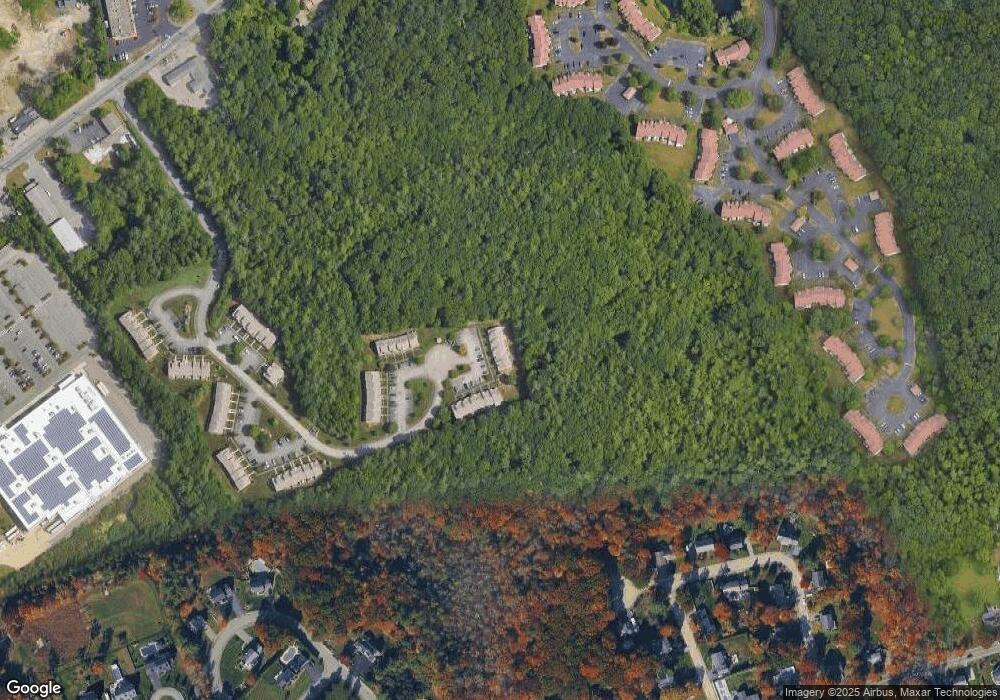
Map
Nearby Homes
- 340 Centre Ave Unit 44
- 191 Summer St
- 34 Park Ave
- 0 W Water St
- 225 W Water St
- 5 Pat Rose Way
- 215 Market St
- 135 Grove St Unit 123
- 135 Grove St Unit 115
- 135 Grove St Unit 133
- 119 Grove St Unit 234
- 103 Grove St Unit 349
- 810 Brookline Way
- 41 Winter Cir
- 5 Alpine St
- 73 Monroe St
- 50 Linden Park
- 643 Summer St
- 608 Plymouth St
- 87 Summer St
- 340 Centre Ave Unit 58
- 340 Centre Ave Unit 57
- 340 Centre Ave Unit 56
- 340 Centre Ave Unit 55
- 340 Centre Ave Unit 53
- 340 Centre Ave Unit 52
- 340 Centre Ave Unit 51
- 340 Centre Ave Unit 50
- 340 Centre Ave Unit 49
- 340 Centre Ave Unit 48
- 340 Centre Ave Unit 47
- 340 Centre Ave Unit 46
- 340 Centre Ave Unit 45
- 340 Centre Ave Unit 43
- 340 Centre Ave Unit 42
- 340 Centre Ave Unit 41
- 340 Centre Ave Unit 39
- 340 Centre Ave Unit 38
- 340 Centre Ave Unit 37
- 340 Centre Ave Unit 36
Your Personal Tour Guide
Ask me questions while you tour the home.