340 Eastside Rd Wrentham, MA 02093
Estimated Value: $467,000 - $565,000
2
Beds
1
Bath
960
Sq Ft
$539/Sq Ft
Est. Value
About This Home
This home is located at 340 Eastside Rd, Wrentham, MA 02093 and is currently estimated at $517,008, approximately $538 per square foot. 340 Eastside Rd is a home located in Norfolk County with nearby schools including Delaney Elementary School and Charles E Roderick.
Ownership History
Date
Name
Owned For
Owner Type
Purchase Details
Closed on
Jun 12, 2020
Sold by
Lake Pearl Rt 2 and Zarba
Bought by
Bigelow Ashley
Current Estimated Value
Purchase Details
Closed on
May 5, 2020
Sold by
Bigelow Ashley and Hsbc Bank Usa Na
Bought by
Hsbc Bank Usa Na Tr
Create a Home Valuation Report for This Property
The Home Valuation Report is an in-depth analysis detailing your home's value as well as a comparison with similar homes in the area
Purchase History
| Date | Buyer | Sale Price | Title Company |
|---|---|---|---|
| Bigelow Ashley | -- | None Available | |
| Hsbc Bank Usa Na Tr | $128,462 | None Available |
Source: Public Records
Tax History
| Year | Tax Paid | Tax Assessment Tax Assessment Total Assessment is a certain percentage of the fair market value that is determined by local assessors to be the total taxable value of land and additions on the property. | Land | Improvement |
|---|---|---|---|---|
| 2025 | $5,746 | $495,800 | $274,500 | $221,300 |
| 2024 | $4,674 | $389,500 | $274,500 | $115,000 |
| 2023 | $4,384 | $347,400 | $249,600 | $97,800 |
| 2022 | $4,350 | $318,200 | $226,900 | $91,300 |
| 2021 | $4,417 | $313,900 | $226,900 | $87,000 |
| 2020 | $3,920 | $275,100 | $186,500 | $88,600 |
| 2019 | $3,675 | $260,300 | $173,200 | $87,100 |
| 2018 | $3,540 | $248,600 | $173,200 | $75,400 |
| 2017 | $3,433 | $240,900 | $169,800 | $71,100 |
| 2016 | $3,364 | $235,600 | $164,900 | $70,700 |
| 2015 | $3,126 | $208,700 | $146,400 | $62,300 |
| 2014 | $3,086 | $201,600 | $140,800 | $60,800 |
Source: Public Records
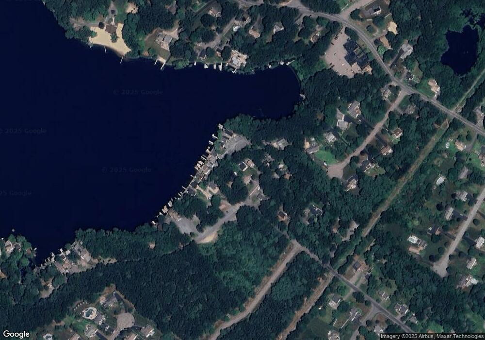
Map
Nearby Homes
- 12 Earle Stewart Ln
- 11 Earle Stewart Ln
- Loty 3-14 Earle Stewart Ln
- Lot 1 - Blueberry 2 Car Plan at King Philip Estates
- Lot 8 - Blueberry 2 Car Plan at King Philip Estates
- Lot 5 - Hughes 2 car Plan at King Philip Estates
- Lot 6 - Blueberry 3 Car Plan at King Philip Estates
- 10 Earle Stewart Ln Unit Lot 5
- Lot 2 - Camden 2 Car Plan at King Philip Estates
- Lot 7 - Cedar Plan at King Philip Estates
- Lot 4 - Hemingway 2 Car Plan at King Philip Estates
- Lot 3 - Blueberry 2 Car Plan at King Philip Estates
- 10 Nature View Dr
- 15 Nature View Dr
- 500 Franklin St
- 319 Taunton St
- 287 Park St
- 155 Clark Rd Unit 155
- 50 Reed Fulton Ave Unit Lot 61
- 440 Chestnut St
- 330 Eastside Rd
- 320 Eastside Rd
- 155 Eastside Rd
- 165 Eastside Rd
- 310 Eastside Rd
- 145 Eastside Rd
- 245 Eastside Rd
- 150 Eastside Rd Unit 1
- 250 Eastside Rd
- 210 Eastside Rd
- 210 Eastside Rd Unit 1
- 150 Eastside Rd
- 190 Eastside Rd
- 200 Eastside Rd
- 230 Eastside Rd
- 230 Eastside Rd
- 230 Eastside Rd Unit 230
- 240 Eastside Rd
- 240 Eastside Rd
- 400 Eastside Rd
Your Personal Tour Guide
Ask me questions while you tour the home.