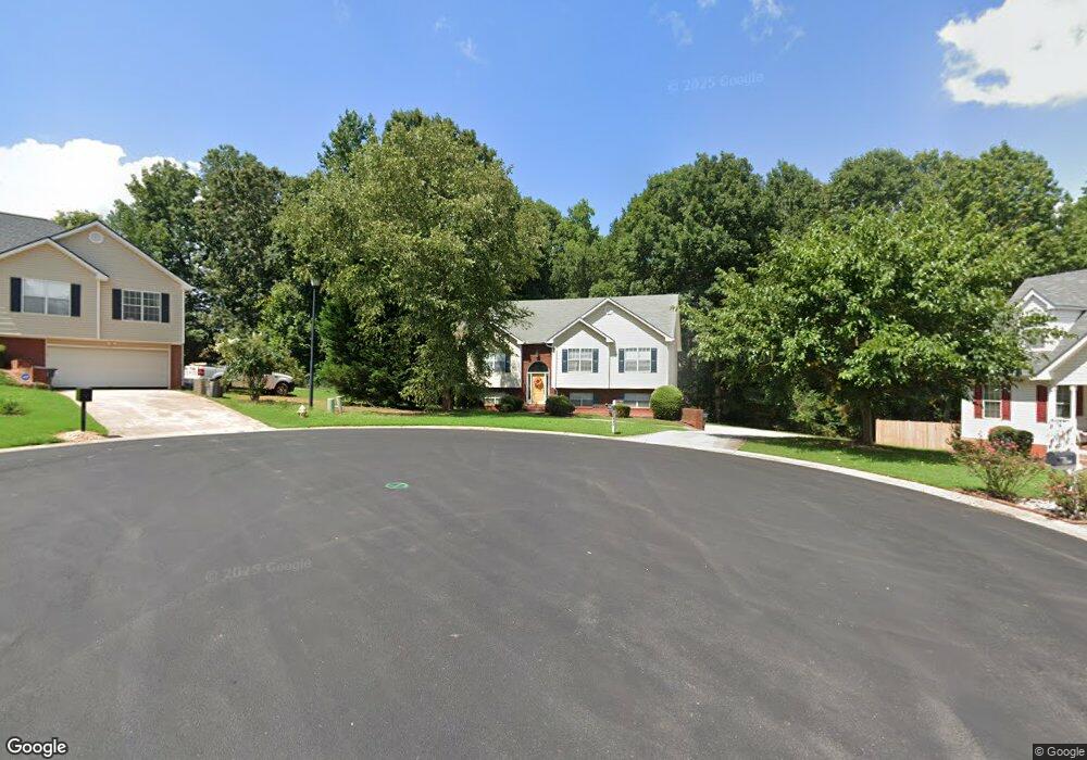
340 Forest Brook Dr Unit 3 Covington, GA 30016
Estimated Value: $268,546 - $322,000
--
Bed
2
Baths
1,522
Sq Ft
$195/Sq Ft
Est. Value
About This Home
This home is located at 340 Forest Brook Dr Unit 3, Covington, GA 30016 and is currently estimated at $296,137, approximately $194 per square foot. 340 Forest Brook Dr Unit 3 is a home located in Newton County with nearby schools including Live Oak Elementary School, Veterans Memorial Middle School, and Newton High School.
Ownership History
Date
Name
Owned For
Owner Type
Purchase Details
Closed on
Feb 29, 2000
Sold by
Freeman Freddie O and Freeman Carolyn F
Bought by
Bethune Robert S and Bethune Nicole L
Current Estimated Value
Home Financials for this Owner
Home Financials are based on the most recent Mortgage that was taken out on this home.
Original Mortgage
$135,027
Outstanding Balance
$45,762
Interest Rate
8.29%
Mortgage Type
FHA
Estimated Equity
$250,375
Purchase Details
Closed on
Sep 15, 1999
Sold by
Fairway Assocs Inc
Bought by
Freeman Freddie O and Freeman Carolyn F
Home Financials for this Owner
Home Financials are based on the most recent Mortgage that was taken out on this home.
Original Mortgage
$91,500
Interest Rate
7.91%
Mortgage Type
New Conventional
Create a Home Valuation Report for This Property
The Home Valuation Report is an in-depth analysis detailing your home's value as well as a comparison with similar homes in the area
Home Values in the Area
Average Home Value in this Area
Purchase History
| Date | Buyer | Sale Price | Title Company |
|---|---|---|---|
| Bethune Robert S | $135,000 | -- | |
| Freeman Freddie O | $19,500 | -- |
Source: Public Records
Mortgage History
| Date | Status | Borrower | Loan Amount |
|---|---|---|---|
| Open | Bethune Robert S | $135,027 | |
| Previous Owner | Freeman Freddie O | $91,500 |
Source: Public Records
Tax History Compared to Growth
Tax History
| Year | Tax Paid | Tax Assessment Tax Assessment Total Assessment is a certain percentage of the fair market value that is determined by local assessors to be the total taxable value of land and additions on the property. | Land | Improvement |
|---|---|---|---|---|
| 2024 | $2,648 | $106,120 | $16,800 | $89,320 |
| 2023 | $2,941 | $110,160 | $7,200 | $102,960 |
| 2022 | $2,366 | $88,960 | $7,200 | $81,760 |
| 2021 | $2,148 | $72,840 | $7,200 | $65,640 |
| 2020 | $2,254 | $69,400 | $7,200 | $62,200 |
| 2019 | $2,248 | $68,240 | $7,200 | $61,040 |
| 2018 | $2,026 | $61,360 | $7,200 | $54,160 |
| 2017 | $1,613 | $49,320 | $7,200 | $42,120 |
| 2016 | $1,365 | $42,120 | $5,200 | $36,920 |
| 2015 | $1,246 | $38,680 | $5,200 | $33,480 |
| 2014 | $919 | $29,200 | $0 | $0 |
Source: Public Records
Map
Nearby Homes
- 165 Lakeside Point
- 230 Forest Brook Dr
- 385 Hinton Chase Pkwy
- 155 Overlook Dr
- 675 Barshay Dr
- 250 Lakeview Trail
- 1025 Lakeside Cir
- 150 Chandler Trace
- 170 Chandler Trace
- 3315 Salem Cove Trail SE
- 475 Lakeside Cir
- 455 Lakeside Cir
- 50 Fieldview Ln
- 3264 Salem Cove Trail SE
- 3170 Lakeside Cir
- 2565 Fairview Rd
- 230 Mackenzie Ct
- 330 Forest Brook Dr Unit 3
- 335 Forest Brook Dr
- 255 Lakeside Point
- 325 Forest Brook Dr
- 320 Forest Brook Dr
- 265 Lakeside Point
- 255 Lakeside Point
- 265 Lakeside Point
- 245 Lakeside Point
- 275 Lakeside Point
- 245 Lakeside Point
- 235 Lakeside Point Unit 235
- 235 Lakeside Point
- 285 Lakeside Point
- 235 Lakeside Point
- 315 Forest Brook Dr Unit 3
- 225 Lake Side Point
- 225 Lakeside Point
- 295 Lakeside Point
- 310 Forest Brook Dr