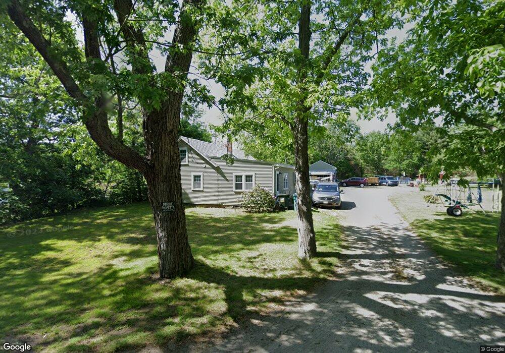
340 Hartford Ave E Uxbridge, MA 01569
Estimated Value: $465,000 - $512,000
3
Beds
2
Baths
1,953
Sq Ft
$254/Sq Ft
Est. Value
About This Home
This home is located at 340 Hartford Ave E, Uxbridge, MA 01569 and is currently estimated at $495,266, approximately $253 per square foot. 340 Hartford Ave E is a home located in Worcester County with nearby schools including Uxbridge High School, Our Lady of the Valley Regional School, and Whitinsville Christian School.
Ownership History
Date
Name
Owned For
Owner Type
Purchase Details
Closed on
Apr 24, 2025
Sold by
340 East Hartford Ave T and Patella
Bought by
Nicholl Cheryl
Current Estimated Value
Purchase Details
Closed on
Oct 7, 2016
Sold by
Patella Arnold J and Patella Lea M
Bought by
Patella Arnold J and Patella Lea M
Purchase Details
Closed on
Oct 23, 1963
Bought by
Patella Arnold J and Patella Lea M
Create a Home Valuation Report for This Property
The Home Valuation Report is an in-depth analysis detailing your home's value as well as a comparison with similar homes in the area
Home Values in the Area
Average Home Value in this Area
Purchase History
| Date | Buyer | Sale Price | Title Company |
|---|---|---|---|
| Nicholl Cheryl | -- | None Available | |
| Nicholl Cheryl | -- | None Available | |
| Patella Arnold J | -- | -- | |
| Patella Arnold J | -- | -- | |
| Patella Arnold J | $3,000 | -- |
Source: Public Records
Tax History Compared to Growth
Tax History
| Year | Tax Paid | Tax Assessment Tax Assessment Total Assessment is a certain percentage of the fair market value that is determined by local assessors to be the total taxable value of land and additions on the property. | Land | Improvement |
|---|---|---|---|---|
| 2025 | $5,012 | $382,300 | $143,500 | $238,800 |
| 2024 | $4,514 | $349,400 | $131,800 | $217,600 |
| 2023 | $4,203 | $301,300 | $119,500 | $181,800 |
| 2022 | $4,096 | $270,200 | $108,500 | $161,700 |
| 2021 | $4,200 | $265,500 | $103,800 | $161,700 |
| 2020 | $3,763 | $224,800 | $106,200 | $118,600 |
| 2019 | $3,723 | $214,600 | $98,300 | $116,300 |
| 2018 | $3,532 | $205,700 | $98,300 | $107,400 |
| 2017 | $3,350 | $197,500 | $92,700 | $104,800 |
| 2016 | $3,755 | $213,700 | $95,200 | $118,500 |
| 2015 | $3,675 | $211,200 | $95,200 | $116,000 |
Source: Public Records
Map
Nearby Homes
- 371 Hartford Ave E
- 390 Hartford Ave E
- 304 W River Rd
- 38 William Ward St
- 94 Carrington Ln Unit 94
- 50 Carrington Ln
- 0 Louis St
- 45 Nature View Dr
- 41 Pouts Ln
- 440 Quaker St
- 7 Wall St
- 19 Harvard St
- 29 Pouts Ln Unit 29
- 46 Pouts Ln Unit 46
- 52 Homeward Ave
- 48 Homeward Ave
- 69 Pouts Ln
- 46 Capron St
- 32 Elm St
- 237 Heritage Dr Unit 237
- 347 E Hartford Ave
- 351 Hartford Ave E
- 363 Hartford Ave E
- 331 Hartford Ave E
- 369 E Hartford Ave
- 376 Hartford Ave E
- 373 Hartford Ave E
- 373 Hartford Ave E Unit 1
- 373 Hartford Ave E Unit 373
- 379 Hartford Ave E
- 383 E Hartford Ave
- 298 E Hartford Ave
- 8 Upton Rd
- 393 E Hartford Ave
- 12 Upton Rd
- 399 Hartford Ave E
- 399 Hartford Ave E Unit A
- 282 E Hartford Ave
- 344 W River Rd
- 402 E Hartford Ave