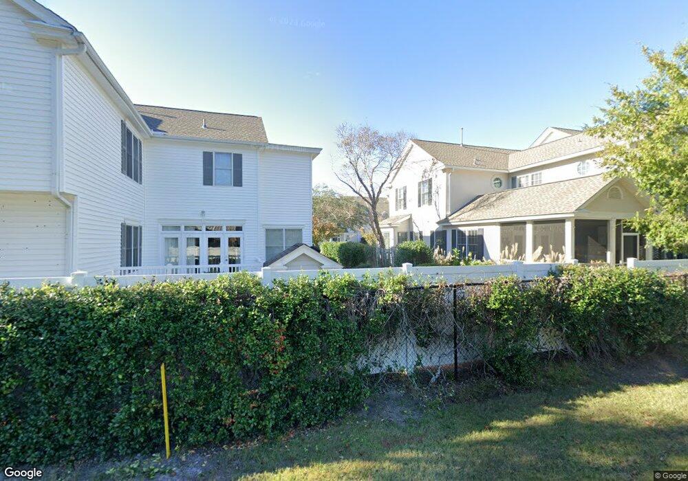
340 Lantern Walk Saint Simons Island, GA 31522
Estimated Value: $550,000 - $629,688
3
Beds
4
Baths
2,292
Sq Ft
$262/Sq Ft
Est. Value
About This Home
This home is located at 340 Lantern Walk, Saint Simons Island, GA 31522 and is currently estimated at $601,422, approximately $262 per square foot. 340 Lantern Walk is a home located in Glynn County with nearby schools including Oglethorpe Point Elementary School, Glynn Middle School, and Glynn Academy.
Ownership History
Date
Name
Owned For
Owner Type
Purchase Details
Closed on
Jan 14, 2010
Sold by
Smaha Kelly J
Bought by
Smaha Charles N and Smaha Kelly J
Current Estimated Value
Home Financials for this Owner
Home Financials are based on the most recent Mortgage that was taken out on this home.
Original Mortgage
$253,000
Interest Rate
4.94%
Mortgage Type
New Conventional
Create a Home Valuation Report for This Property
The Home Valuation Report is an in-depth analysis detailing your home's value as well as a comparison with similar homes in the area
Home Values in the Area
Average Home Value in this Area
Purchase History
| Date | Buyer | Sale Price | Title Company |
|---|---|---|---|
| Smaha Charles N | -- | -- |
Source: Public Records
Mortgage History
| Date | Status | Borrower | Loan Amount |
|---|---|---|---|
| Closed | Smaha Charles N | $253,000 |
Source: Public Records
Tax History Compared to Growth
Tax History
| Year | Tax Paid | Tax Assessment Tax Assessment Total Assessment is a certain percentage of the fair market value that is determined by local assessors to be the total taxable value of land and additions on the property. | Land | Improvement |
|---|---|---|---|---|
| 2025 | $5,863 | $233,800 | $0 | $233,800 |
| 2024 | $3,794 | $151,280 | $0 | $151,280 |
| 2023 | $3,718 | $151,280 | $0 | $151,280 |
| 2022 | $3,794 | $151,280 | $0 | $151,280 |
| 2021 | $3,912 | $151,280 | $0 | $151,280 |
| 2020 | $3,950 | $151,280 | $0 | $151,280 |
| 2019 | $3,739 | $143,200 | $0 | $143,200 |
| 2018 | $3,739 | $143,200 | $0 | $143,200 |
| 2017 | $3,424 | $131,120 | $0 | $131,120 |
| 2016 | $3,147 | $131,120 | $0 | $131,120 |
| 2015 | $2,733 | $119,200 | $0 | $119,200 |
| 2014 | $2,733 | $113,400 | $0 | $113,400 |
Source: Public Records
Map
Nearby Homes
- 116 Ashwood Way
- 104 Ashwood Way
- 103 Travellers Way
- 101 Barkentine Ct Unit A-1
- 622 Brockinton Point
- 156 Shady Brook Cir Unit 101
- 123 Shadow Wood Bend
- 2513 Demere Rd Unit 8
- 2513 Demere Rd Unit 1
- 2512 Demere Rd Unit 7
- 129 Shadow Wood Bend
- 109 Shady Brook Cir Unit 301
- 150 Shady Brook Cir Unit 201
- 131 Shadow Wood Bend
- 117 Quamley Wells Dr
- 222 Walmar Grove
- 99 Brook Dr
- 105 Brook Dr
- 24 Orchard Rd
- 146 Shady Brook Cir Unit 301
- 338 Lantern Walk
- 336 Lantern Walk
- 339 Lantern Walk
- 334 Lantern Walk
- 346 Lantern Walk
- 337 Lantern Walk
- 341 Lantern Walk
- 345 Lantern Walk
- 332 Lantern Walk
- 335 Lantern Walk
- 348 Lantern Walk
- 106 Gates Place
- 333 Lantern Walk
- 347 Lantern Walk
- 350 Lantern Walk
- 104 Gates Place
- 300 Lantern Walk
- 349 Lantern Walk Unit 349
- 331 Lantern Walk
- 331 Lantern Walk