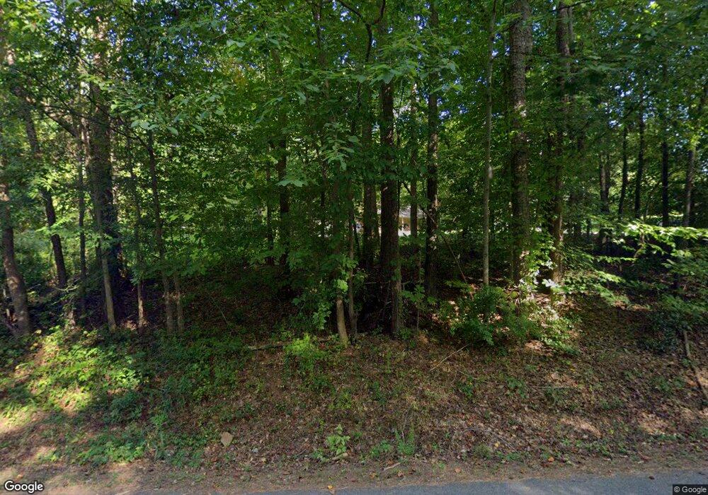
340 Laurel Hill Rd Unit 2&11A Fort Mill, SC 29707
Estimated Value: $463,000 - $607,000
--
Bed
2
Baths
1,956
Sq Ft
$276/Sq Ft
Est. Value
About This Home
This home is located at 340 Laurel Hill Rd Unit 2&11A, Fort Mill, SC 29707 and is currently estimated at $540,543, approximately $276 per square foot. 340 Laurel Hill Rd Unit 2&11A is a home located in Lancaster County with nearby schools including Van Wyck Elementary School, Indian Land Elementary School, and Indian Land Middle School.
Ownership History
Date
Name
Owned For
Owner Type
Purchase Details
Closed on
Feb 11, 2021
Sold by
Catledge Larry A
Bought by
Smith Sandra
Current Estimated Value
Home Financials for this Owner
Home Financials are based on the most recent Mortgage that was taken out on this home.
Original Mortgage
$311,200
Outstanding Balance
$278,093
Interest Rate
2.65%
Mortgage Type
New Conventional
Estimated Equity
$262,450
Create a Home Valuation Report for This Property
The Home Valuation Report is an in-depth analysis detailing your home's value as well as a comparison with similar homes in the area
Home Values in the Area
Average Home Value in this Area
Purchase History
| Date | Buyer | Sale Price | Title Company |
|---|---|---|---|
| Smith Sandra | $389,000 | None Available |
Source: Public Records
Mortgage History
| Date | Status | Borrower | Loan Amount |
|---|---|---|---|
| Open | Smith Sandra | $311,200 |
Source: Public Records
Tax History Compared to Growth
Tax History
| Year | Tax Paid | Tax Assessment Tax Assessment Total Assessment is a certain percentage of the fair market value that is determined by local assessors to be the total taxable value of land and additions on the property. | Land | Improvement |
|---|---|---|---|---|
| 2024 | $2,695 | $15,608 | $4,804 | $10,804 |
| 2023 | $2,596 | $15,608 | $4,804 | $10,804 |
| 2022 | $2,527 | $15,608 | $4,804 | $10,804 |
| 2021 | $1,885 | $11,642 | $4,544 | $7,098 |
| 2020 | $5,072 | $15,186 | $4,806 | $10,380 |
| 2019 | $3,422 | $10,124 | $3,204 | $6,920 |
| 2018 | $3,293 | $10,124 | $3,204 | $6,920 |
| 2017 | $1,666 | $0 | $0 | $0 |
| 2016 | $1,553 | $0 | $0 | $0 |
| 2015 | $1,277 | $0 | $0 | $0 |
| 2014 | $1,277 | $0 | $0 | $0 |
| 2013 | $1,277 | $0 | $0 | $0 |
Source: Public Records
Map
Nearby Homes
- 2035 Clarion Dr
- 4201 Perth Rd
- 4011 W Sandy Trail
- 6001 Sweetbay Ln
- 1066 Shelly Woods Dr
- 2050 Aberdeen Ln
- 6015 Sweetbay Ln
- 3033 Honeylocust Ln
- 9416 Tiger Lily Ln
- 4093 Perth Rd
- 5033 Mockernut Ln
- 6025 Turkey Oak Ln
- 6825 Wilson Creek Dr
- 3486 Duchess Ave
- 6007 Edinburgh Ln
- 3079 Azalea Dr
- 825 Spelman Dr
- 8174 Henry Harris Rd Unit 3
- 2156 Flicker Rd Unit 1034B
- 2148 Flicker Rd Unit 1033D
- 340 Laurel Hill Rd
- 314 Laurel Hills Rd
- 1.74 acre Laurel Hills Rd
- Tract C & D Laurel Hills Rd
- Tract C Laurel Hills Rd
- Tract D Laurel Hills Rd
- 380 Laurel Hill Rd
- 363 Laurel Hills Rd
- 323 Laurel Hills Rd
- 308 Laurel Hills Rd
- 387 Laurel Hill Rd
- 355 Laurel Hills Rd
- 333 Laurel Hill Rd
- 177 Hatchway Rd
- 179 Hatchway Rd
- 392 Laurel Hill Rd
- 392 Laurel Hill Rd
- 205 Hatchway Rd
- 407 Laurel Hill Rd
- 351 Laurel Hills Rd
