340 Maple Row Northfield, IL 60093
Estimated Value: $2,899,000 - $3,911,000
7
Beds
9
Baths
11,494
Sq Ft
$305/Sq Ft
Est. Value
About This Home
This home is located at 340 Maple Row, Northfield, IL 60093 and is currently estimated at $3,509,255, approximately $305 per square foot. 340 Maple Row is a home located in Cook County with nearby schools including Middlefork Primary School, Sunset Ridge Elementary School, and New Trier Township High School - Northfield.
Ownership History
Date
Name
Owned For
Owner Type
Purchase Details
Closed on
May 9, 2022
Sold by
Regina B Dickinson Revocable Trust
Bought by
Herzog Robert and Herzog Nakia St Pierre
Current Estimated Value
Home Financials for this Owner
Home Financials are based on the most recent Mortgage that was taken out on this home.
Original Mortgage
$2,160,000
Outstanding Balance
$2,006,803
Interest Rate
3.75%
Mortgage Type
New Conventional
Estimated Equity
$1,502,452
Purchase Details
Closed on
Jun 16, 2017
Sold by
Dickinson Daniel M and Dickinson Regina B
Bought by
Dickinson Regina B and Regina B Dickinson Revocable Trust
Purchase Details
Closed on
Aug 23, 2000
Sold by
Oak Brook Bank
Bought by
Dickinson Daniel M and Dickinson Regina B
Home Financials for this Owner
Home Financials are based on the most recent Mortgage that was taken out on this home.
Original Mortgage
$1,000,000
Interest Rate
8%
Create a Home Valuation Report for This Property
The Home Valuation Report is an in-depth analysis detailing your home's value as well as a comparison with similar homes in the area
Home Values in the Area
Average Home Value in this Area
Purchase History
| Date | Buyer | Sale Price | Title Company |
|---|---|---|---|
| Herzog Robert | $2,700,000 | None Listed On Document | |
| Dickinson Regina B | -- | None Available | |
| Dickinson Daniel M | $2,800,000 | -- |
Source: Public Records
Mortgage History
| Date | Status | Borrower | Loan Amount |
|---|---|---|---|
| Open | Herzog Robert | $2,160,000 | |
| Previous Owner | Dickinson Daniel M | $1,000,000 |
Source: Public Records
Tax History
| Year | Tax Paid | Tax Assessment Tax Assessment Total Assessment is a certain percentage of the fair market value that is determined by local assessors to be the total taxable value of land and additions on the property. | Land | Improvement |
|---|---|---|---|---|
| 2025 | $45,760 | $305,000 | $73,338 | $231,662 |
| 2024 | $45,760 | $212,001 | $61,115 | $150,886 |
| 2023 | $47,694 | $212,001 | $61,115 | $150,886 |
| 2022 | $47,694 | $236,428 | $61,115 | $175,313 |
| 2021 | $43,141 | $181,232 | $42,780 | $138,452 |
| 2020 | $42,225 | $181,232 | $42,780 | $138,452 |
| 2019 | $41,521 | $199,157 | $42,780 | $156,377 |
| 2018 | $42,237 | $192,737 | $36,669 | $156,068 |
| 2017 | $40,927 | $192,737 | $36,669 | $156,068 |
| 2016 | $27,598 | $137,845 | $36,669 | $101,176 |
| 2015 | $27,586 | $125,500 | $30,557 | $94,943 |
| 2014 | $32,854 | $151,822 | $30,557 | $121,265 |
| 2013 | $31,463 | $151,822 | $30,557 | $121,265 |
Source: Public Records
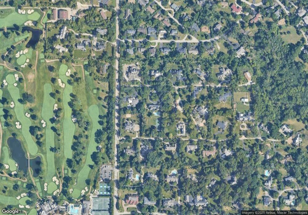
Map
Nearby Homes
- 2122 Middlefork Rd
- 1930 Sunset Ridge Rd
- 1990 Southridge Terrace
- 2154 Northgate Rd
- 898 Bridlegate Ln
- 405 Voltz Rd
- 590 Briar Ln
- 831 Balmoral Ln
- 2185 New Willow Rd
- 947 Kensington Dr Unit 7E3
- 24 Bridlewood Rd
- 2700 Summit Dr Unit 101
- 513 Edens Ln
- 2220 Founders Dr Unit 213
- 2220 Founders Dr Unit 107
- 2220 Founders Dr Unit P102
- 2220 Founders Dr Unit 316
- 2220 Founders Dr Unit 119
- 2220 Founders Dr Unit 325
- 2220 Founders Dr Unit 314
Your Personal Tour Guide
Ask me questions while you tour the home.