340 Ocean Cay Blvd Saint Augustine, FL 32080
Estimated Value: $599,286 - $664,000
4
Beds
3
Baths
2,270
Sq Ft
$276/Sq Ft
Est. Value
About This Home
This home is located at 340 Ocean Cay Blvd, Saint Augustine, FL 32080 and is currently estimated at $627,072, approximately $276 per square foot. 340 Ocean Cay Blvd is a home with nearby schools including R.B. Hunt Elementary School, Sebastian Middle School, and St. Augustine High School.
Ownership History
Date
Name
Owned For
Owner Type
Purchase Details
Closed on
May 11, 2022
Sold by
Lertora Iii James S and Lertora Jessica
Bought by
Lertora James S and Lertora Jessica
Current Estimated Value
Home Financials for this Owner
Home Financials are based on the most recent Mortgage that was taken out on this home.
Original Mortgage
$370,000
Outstanding Balance
$351,555
Interest Rate
5.27%
Mortgage Type
Balloon
Estimated Equity
$275,517
Create a Home Valuation Report for This Property
The Home Valuation Report is an in-depth analysis detailing your home's value as well as a comparison with similar homes in the area
Purchase History
| Date | Buyer | Sale Price | Title Company |
|---|---|---|---|
| Lertora James S | $104,522 | Rosenberg Jay A |
Source: Public Records
Mortgage History
| Date | Status | Borrower | Loan Amount |
|---|---|---|---|
| Open | Lertora James S | $370,000 |
Source: Public Records
Tax History
| Year | Tax Paid | Tax Assessment Tax Assessment Total Assessment is a certain percentage of the fair market value that is determined by local assessors to be the total taxable value of land and additions on the property. | Land | Improvement |
|---|---|---|---|---|
| 2025 | $6,006 | $519,790 | -- | -- |
| 2024 | $6,006 | $505,141 | -- | -- |
| 2023 | $6,006 | $490,428 | $0 | $0 |
| 2022 | $5,852 | $476,144 | $117,600 | $358,544 |
| 2021 | $4,763 | $347,704 | $0 | $0 |
| 2020 | $4,354 | $308,392 | $0 | $0 |
| 2019 | $3,862 | $298,113 | $0 | $0 |
| 2018 | $3,820 | $292,554 | $0 | $0 |
| 2017 | $3,867 | $290,692 | $75,000 | $215,692 |
| 2016 | $690 | $24,234 | $0 | $0 |
| 2015 | $303 | $20,028 | $0 | $0 |
| 2014 | -- | $20,028 | $0 | $0 |
Source: Public Records
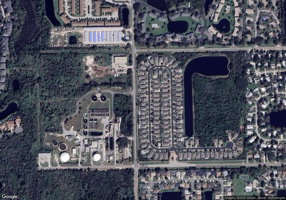
Map
Nearby Homes
- 146 Ocean Cay Blvd
- 700 W Pope Rd Unit M97
- 700 W Pope Rd Unit G50
- 700 W Pope Rd Unit B16
- 650 W Pope Rd Unit 226
- 650 W Pope Rd Unit 244
- 650 W Pope Rd Unit 233
- 650 W Pope Rd Unit 279
- 650 W Pope Rd Unit 218
- 633 W Pope Rd
- 50 Hannah Cole Dr
- 649 Nautical Way
- 701 Captains Dr
- 205 Islander Dr
- 612 Nautical Way
- 28 Islander Ct
- 24 Islander Ct
- 323 Islander Cir
- 60 Anastasia Lakes Dr
- 2329 Commodores Club Blvd
- 330 Ocean Cay Blvd
- 350 Ocean Cay Blvd
- 360 Ocean Cay Blvd
- 320 Ocean Cay Blvd
- 341 Ocean Cay Blvd
- 310 Ocean Cay Blvd
- 372 Ocean Cay Blvd
- 351 Ocean Cay Blvd
- 351 Ocean Cay Blvd
- 331 Ocean Cay Blvd
- 361 Ocean Cay Blvd
- 321 Ocean Cay Blvd
- 382 Ocean Cay Blvd
- 309 Ocean Cay Blvd
- 383 Ocean Cay Blvd
- 392 Ocean Cay Blvd
- 290 Ocean Cay Blvd
- 155 Ocean Cay Blvd
- 155 Ocean Cay Blvd
- 299 Ocean Cay Blvd
Your Personal Tour Guide
Ask me questions while you tour the home.