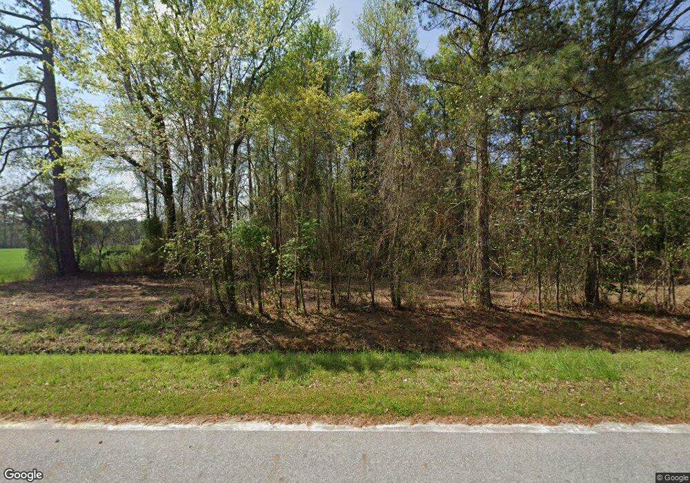
340 Pearson Rd Kinston, NC 28504
Estimated Value: $168,000 - $437,054
2
Beds
1
Bath
1,072
Sq Ft
$273/Sq Ft
Est. Value
About This Home
This home is located at 340 Pearson Rd, Kinston, NC 28504 and is currently estimated at $292,764, approximately $273 per square foot. 340 Pearson Rd is a home located in Lenoir County with nearby schools including Southwood Elementary School, Woodington Middle School, and South Lenoir High School.
Ownership History
Date
Name
Owned For
Owner Type
Purchase Details
Closed on
Sep 24, 2021
Sold by
Carlton Alphin Leon and Barnes Lisa
Bought by
Smith Danny R and Smith Danny B
Current Estimated Value
Purchase Details
Closed on
Mar 1, 2013
Sold by
Alphin Carlton and Alphin Lisa B
Bought by
Stanley Remus and Stanley Mary
Purchase Details
Closed on
Nov 21, 2012
Sold by
Anderson Polly S and Williamson Mary Lynn S
Bought by
Alphin Leon Carlton
Create a Home Valuation Report for This Property
The Home Valuation Report is an in-depth analysis detailing your home's value as well as a comparison with similar homes in the area
Home Values in the Area
Average Home Value in this Area
Purchase History
| Date | Buyer | Sale Price | Title Company |
|---|---|---|---|
| Smith Danny R | -- | None Listed On Document | |
| Stanley Remus | $2,000 | None Available | |
| Alphin Leon Carlton | $24,000 | None Available |
Source: Public Records
Tax History Compared to Growth
Tax History
| Year | Tax Paid | Tax Assessment Tax Assessment Total Assessment is a certain percentage of the fair market value that is determined by local assessors to be the total taxable value of land and additions on the property. | Land | Improvement |
|---|---|---|---|---|
| 2025 | $1,319 | $163,861 | $95,325 | $68,536 |
| 2024 | $1,014 | $97,776 | $81,787 | $15,989 |
| 2023 | $999 | $97,776 | $81,787 | $15,989 |
| 2022 | $999 | $97,776 | $81,787 | $15,989 |
| 2021 | $999 | $97,776 | $81,787 | $15,989 |
| 2020 | $999 | $97,776 | $81,787 | $15,989 |
| 2019 | $999 | $97,776 | $81,787 | $15,989 |
| 2018 | $985 | $97,776 | $81,787 | $15,989 |
| 2017 | $984 | $97,776 | $81,787 | $15,989 |
| 2014 | $977 | $308,248 | $291,335 | $16,913 |
| 2013 | -- | $308,248 | $291,335 | $16,913 |
| 2011 | -- | $248,123 | $231,210 | $16,913 |
Source: Public Records
Map
Nearby Homes
- Lot A Tyree
- Lot B Tyree
- 00 Patterson Rd Lot Unit WP001
- 1552 Patterson Rd
- 263 Ashland Dr
- 1562 Patterson Rd
- 431 Joe Nunn Rd
- 414 Wheat St
- 270 Orange St
- 222 Orange St
- 636 Community Center
- 0 Collier-Loftin Rd
- 5 N Carolina 11
- 6 N Carolina 11
- 569 Hwy 58 S
- 804 Alexander Rouse Rd
- 323 Alexander Rouse Rd
- 919 Albrittons Rd
- 1020 Albrittons Rd
- 1006 White Oak Dr
- 284 Pearson Rd
- 0 Pearson
- 895 Patterson Rd
- 6 Acres Patterson
- 931 Old Homestead Rd
- 5 Acres Patterson
- 850 Patterson Rd
- 894 Patterson Rd
- 0 Patterson Rd
- Lot 5 Patterson Rd
- 5 Patterson Rd
- 4 Patterson Rd
- 3 Patterson Rd
- 2 Patterson Rd
- 1 Patterson Rd
- 6 Patterson Rd
- 7 Patterson Rd
- 1.19 Ac Patterson Rd
- 545 Pearson Rd
- 895 Old Homestead Rd
