Estimated Value: $320,000 - $335,000
4
Beds
3
Baths
2,948
Sq Ft
$110/Sq Ft
Est. Value
About This Home
This home is located at 340 Poplar Ln Unit 43, Mason, MI 48854 and is currently estimated at $324,543, approximately $110 per square foot. 340 Poplar Ln Unit 43 is a home located in Ingham County with nearby schools including Mason High School.
Ownership History
Date
Name
Owned For
Owner Type
Purchase Details
Closed on
Jun 21, 2010
Sold by
Aeg Development Llc
Bought by
Duchaine David
Current Estimated Value
Home Financials for this Owner
Home Financials are based on the most recent Mortgage that was taken out on this home.
Original Mortgage
$132,771
Outstanding Balance
$91,265
Interest Rate
5.5%
Mortgage Type
FHA
Estimated Equity
$233,278
Purchase Details
Closed on
May 14, 2010
Sold by
Creekside Asset Management Llc
Bought by
Aeg Development Llc
Home Financials for this Owner
Home Financials are based on the most recent Mortgage that was taken out on this home.
Original Mortgage
$132,771
Outstanding Balance
$91,265
Interest Rate
5.5%
Mortgage Type
FHA
Estimated Equity
$233,278
Create a Home Valuation Report for This Property
The Home Valuation Report is an in-depth analysis detailing your home's value as well as a comparison with similar homes in the area
Home Values in the Area
Average Home Value in this Area
Purchase History
| Date | Buyer | Sale Price | Title Company |
|---|---|---|---|
| Duchaine David | $134,580 | Devon Title | |
| Aeg Development Llc | -- | Devon |
Source: Public Records
Mortgage History
| Date | Status | Borrower | Loan Amount |
|---|---|---|---|
| Open | Duchaine David | $132,771 |
Source: Public Records
Tax History Compared to Growth
Tax History
| Year | Tax Paid | Tax Assessment Tax Assessment Total Assessment is a certain percentage of the fair market value that is determined by local assessors to be the total taxable value of land and additions on the property. | Land | Improvement |
|---|---|---|---|---|
| 2025 | $3,434 | $171,200 | $13,900 | $157,300 |
| 2024 | $20 | $156,700 | $13,300 | $143,400 |
| 2023 | $3,118 | $141,100 | $22,500 | $118,600 |
| 2022 | $3,041 | $124,200 | $22,500 | $101,700 |
| 2021 | $2,971 | $113,900 | $0 | $113,900 |
| 2020 | $3,407 | $117,000 | $19,500 | $97,500 |
| 2019 | $3,313 | $108,500 | $10,000 | $98,500 |
| 2018 | $2,771 | $95,500 | $10,000 | $85,500 |
| 2017 | $2,407 | $95,500 | $10,000 | $85,500 |
| 2016 | -- | $77,600 | $10,000 | $67,600 |
| 2015 | -- | $71,300 | $20,000 | $51,300 |
| 2014 | -- | $67,500 | $20,000 | $47,500 |
Source: Public Records
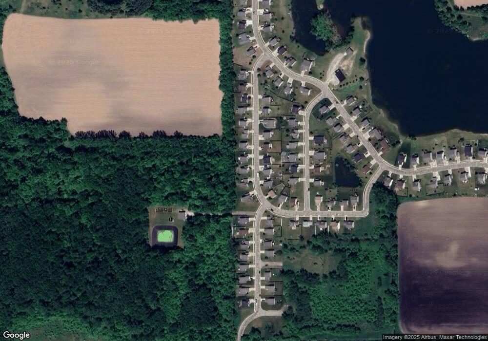
Map
Nearby Homes
- 380 Spicetree Ln Unit 48
- 153 Primrose Ln
- 61 Lake Ridge Dr
- 49 Lake Ridge Dr
- 4939 W Columbia Rd
- 372 S Eifert Rd
- 0 S Aurelius Rd Unit 292647
- 331 N College Rd
- 4789 Nichols Rd
- 673 Joan Dr
- 56 S Onondaga Rd
- 330 Oak Ridge St
- 902 Eagles Nest Ct
- 814 Carom Cir Unit 142
- 915 Carom Cir
- 311 Carom Cir
- 105 Carom Cir
- 209 Peachtree Place
- 1470 N Cedar St
- 4535 Harper Rd
- 336 Poplar Ln Unit 42
- 348 Poplar Ln Unit 44
- 330 Poplar Ln Unit 41
- 343 Poplar Ln
- 362 Poplar Ln Unit 45
- 339 Poplar Ln
- 351 Poplar Ln
- 320 Poplar Ln Unit 40
- 333 Poplar Ln
- 361 Poplar Ln
- 325 Poplar Ln
- 310 Poplar Ln Unit 39
- 342 Redcedar Ln Unit 169
- 4218 Poplar Ln Unit 172
- 372 Spicetree Ln Unit 46
- 334 Redcedar Ln Unit 168
- 346 Redcedar Ln Unit 170
- 315 Poplar Ln Unit 79
- 332 Redcedar Ln Unit 167
- 373 Spicetree Ln Unit 72