340 Pratt Rd Parsonsfield, ME 04047
Estimated Value: $272,712 - $371,000
--
Bed
--
Bath
1,019
Sq Ft
$308/Sq Ft
Est. Value
About This Home
This home is located at 340 Pratt Rd, Parsonsfield, ME 04047 and is currently estimated at $314,178, approximately $308 per square foot. 340 Pratt Rd is a home.
Ownership History
Date
Name
Owned For
Owner Type
Purchase Details
Closed on
Jun 22, 2017
Sold by
Hopkins Kenneth and Hopkins Debra J
Bought by
Mickle Wendy and Mott Patrick
Current Estimated Value
Home Financials for this Owner
Home Financials are based on the most recent Mortgage that was taken out on this home.
Original Mortgage
$125,000
Outstanding Balance
$85,243
Interest Rate
4.05%
Mortgage Type
Commercial
Estimated Equity
$228,935
Create a Home Valuation Report for This Property
The Home Valuation Report is an in-depth analysis detailing your home's value as well as a comparison with similar homes in the area
Home Values in the Area
Average Home Value in this Area
Purchase History
| Date | Buyer | Sale Price | Title Company |
|---|---|---|---|
| Mickle Wendy | -- | -- |
Source: Public Records
Mortgage History
| Date | Status | Borrower | Loan Amount |
|---|---|---|---|
| Open | Mickle Wendy | $125,000 |
Source: Public Records
Tax History Compared to Growth
Tax History
| Year | Tax Paid | Tax Assessment Tax Assessment Total Assessment is a certain percentage of the fair market value that is determined by local assessors to be the total taxable value of land and additions on the property. | Land | Improvement |
|---|---|---|---|---|
| 2024 | $2,559 | $152,350 | $67,500 | $84,850 |
| 2023 | $2,468 | $152,350 | $67,500 | $84,850 |
| 2022 | $2,361 | $152,350 | $67,500 | $84,850 |
| 2021 | $2,158 | $139,678 | $67,500 | $72,178 |
| 2020 | $2,116 | $139,678 | $67,500 | $72,178 |
| 2019 | $2,022 | $135,718 | $67,500 | $68,218 |
| 2017 | $2,022 | $135,718 | $67,500 | $68,218 |
| 2016 | $2,022 | $135,718 | $67,500 | $68,218 |
| 2015 | $2,036 | $135,718 | $67,500 | $68,218 |
| 2013 | $1,962 | $134,386 | $67,500 | $66,886 |
Source: Public Records
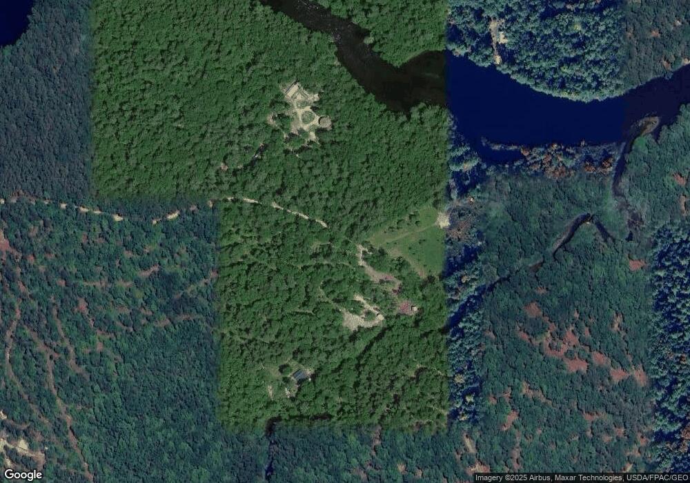
Map
Nearby Homes
- 00 Pratt Rd
- 0 S River Ln Unit 1641807
- 1108 Ossipee Trail
- 62 Eastman Hill Rd
- R3-32 Ossipee Trail
- 185 Huntress Bridge Rd
- 187 Huntress Bridge Rd
- 206 Gilman Rd
- 8 Pennie Ln
- 32 Rufus Mountain Rd
- 118 Round Pond Rd
- 122 Ossipee Trail
- 118 Pound Round Rd
- 11 Penny Ln
- 12 Main St
- 248 Spec Pond Rd
- 32 Summer St
- Lot 10 Friedman
- Lot #00 North Rd
- Lot# 01 North Rd
- 8 Sumner Ln
- 4,8,12 Sumner Ln
- 20 Sumner Ln
- 4 Sumner Ln
- 12 Sumner Ln
- 601 Pratt Rd
- 600 Pratt Rd
- 354 Pratt Rd
- 289 Pratt Rd
- 842 Ossipee Trail
- 12 Roberts Ln
- 0 Roberts Ln
- 0 0 Route 25 (Ossipee Trail) Unit 1048759
- 20 Roberts Ln
- 3 Roberts Ln
- 851 Ossipee Trail
- 36 Roberts Ln
- 25 Roberts Ln
- 9 Roberts Ln
- 71 Roberts Ln