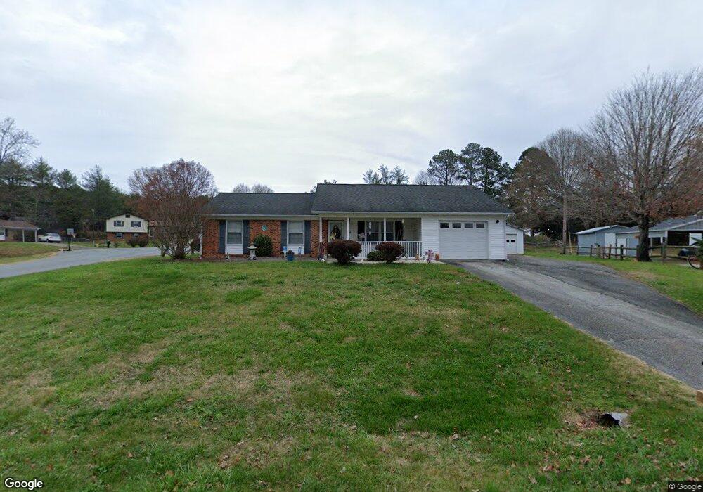
340 Rolling Hills Ln Mocksville, NC 27028
Estimated Value: $194,000 - $210,358
3
Beds
2
Baths
1,080
Sq Ft
$188/Sq Ft
Est. Value
About This Home
This home is located at 340 Rolling Hills Ln, Mocksville, NC 27028 and is currently estimated at $203,090, approximately $188 per square foot. 340 Rolling Hills Ln is a home located in Davie County with nearby schools including Cornatzer Elementary School, William Ellis Middle School, and Davie County High School.
Ownership History
Date
Name
Owned For
Owner Type
Purchase Details
Closed on
Jan 14, 2009
Sold by
Brake Pamela K and Brake Robert Brake
Bought by
Phillips Patricia E
Current Estimated Value
Purchase Details
Closed on
Jan 12, 2009
Sold by
Brake Pamela K and Brake Robert Brake
Bought by
Phillips Patricia E
Purchase Details
Closed on
Feb 6, 2008
Sold by
Phillips Patricia E
Bought by
Brake Pamela K
Purchase Details
Closed on
Jul 1, 2001
Purchase Details
Closed on
Jul 1, 1978
Create a Home Valuation Report for This Property
The Home Valuation Report is an in-depth analysis detailing your home's value as well as a comparison with similar homes in the area
Home Values in the Area
Average Home Value in this Area
Purchase History
| Date | Buyer | Sale Price | Title Company |
|---|---|---|---|
| Phillips Patricia E | -- | -- | |
| Phillips Patricia E | -- | -- | |
| Brake Pamela K | -- | None Available | |
| -- | -- | -- | |
| -- | -- | -- |
Source: Public Records
Tax History Compared to Growth
Tax History
| Year | Tax Paid | Tax Assessment Tax Assessment Total Assessment is a certain percentage of the fair market value that is determined by local assessors to be the total taxable value of land and additions on the property. | Land | Improvement |
|---|---|---|---|---|
| 2025 | $1,720 | $175,810 | $35,000 | $140,810 |
| 2024 | $920 | $86,570 | $16,000 | $70,570 |
| 2023 | $920 | $86,570 | $16,000 | $70,570 |
| 2022 | $920 | $86,570 | $16,000 | $70,570 |
| 2021 | $920 | $86,570 | $16,000 | $70,570 |
| 2020 | $797 | $74,640 | $10,000 | $64,640 |
| 2019 | $797 | $74,640 | $10,000 | $64,640 |
| 2018 | $797 | $74,640 | $10,000 | $64,640 |
| 2017 | $790 | $74,640 | $0 | $0 |
| 2016 | $821 | $77,640 | $0 | $0 |
| 2015 | $821 | $77,640 | $0 | $0 |
| 2014 | $738 | $77,640 | $0 | $0 |
| 2013 | -- | $77,640 | $0 | $0 |
Source: Public Records
Map
Nearby Homes
- 123 Creekside Dr
- 90 Whitney Rd
- 50 Whitney Rd
- 189 Big Laurel Dr
- 186 Big Laurel Dr
- 185 Big Laurel Dr
- 181 Big Laurel Dr
- 150 Ariel Ct
- 166 Chessie Rd
- 160 Chessie Rd
- 176 Big Laurel Dr
- 173 Big Laurel Dr
- 170 Chessie Rd
- 168 Chessie Rd
- 161 Big Laurel Dr
- 192 Big Laurel Dr
- 190 Big Laurel Dr
- 194 Big Laurel Dr
- 193 Big Laurel Dr
- 191 Big Laurel Dr
- 350 Rolling Hills Ln
- 120 Hillcrest Ct
- 351 Rolling Hills Ln
- 310 Rolling Hills Ln
- 140 Hillcrest Ct
- 371 Rolling Hills Ln
- 315 Rolling Hills Ln
- 360 Rolling Hills Ln
- 155 Hillcrest Ct
- 175 Hillcrest Ct
- 290 Rolling Hills Ln
- 311 Rolling Hills Ln
- 1 Dutchman Hills
- 39 Dutchman Hills
- 5 Dutchman Hills
- 37 Dutchman Hills
- 41 Dutchman Hills
- 1047 Milling Rd
- 1031 Milling Rd
- 1017 Milling Rd