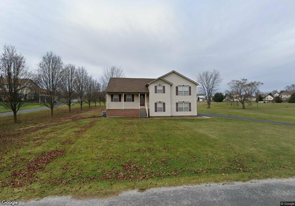
340 Rolling Ln Unit 65 Abbottstown, PA 17301
Estimated Value: $333,000 - $388,508
3
Beds
2
Baths
1,411
Sq Ft
$264/Sq Ft
Est. Value
About This Home
This home is located at 340 Rolling Ln Unit 65, Abbottstown, PA 17301 and is currently estimated at $372,877, approximately $264 per square foot. 340 Rolling Ln Unit 65 is a home located in Adams County with nearby schools including New Oxford Senior High School and Paradise School.
Ownership History
Date
Name
Owned For
Owner Type
Purchase Details
Closed on
Aug 31, 2007
Sold by
Nesbitt Lisa D
Bought by
Klunk Ronald E
Current Estimated Value
Home Financials for this Owner
Home Financials are based on the most recent Mortgage that was taken out on this home.
Original Mortgage
$192,400
Outstanding Balance
$118,722
Interest Rate
6.71%
Mortgage Type
New Conventional
Estimated Equity
$254,155
Create a Home Valuation Report for This Property
The Home Valuation Report is an in-depth analysis detailing your home's value as well as a comparison with similar homes in the area
Purchase History
| Date | Buyer | Sale Price | Title Company |
|---|---|---|---|
| Klunk Ronald E | $240,500 | -- |
Source: Public Records
Mortgage History
| Date | Status | Borrower | Loan Amount |
|---|---|---|---|
| Open | Klunk Ronald E | $192,400 |
Source: Public Records
Tax History
| Year | Tax Paid | Tax Assessment Tax Assessment Total Assessment is a certain percentage of the fair market value that is determined by local assessors to be the total taxable value of land and additions on the property. | Land | Improvement |
|---|---|---|---|---|
| 2026 | $5,596 | $242,200 | $91,900 | $150,300 |
| 2025 | $5,491 | $242,200 | $91,900 | $150,300 |
| 2024 | $5,048 | $242,200 | $91,900 | $150,300 |
| 2023 | $4,850 | $242,200 | $91,900 | $150,300 |
| 2022 | $4,692 | $242,200 | $91,900 | $150,300 |
| 2021 | $4,564 | $242,200 | $91,900 | $150,300 |
| 2020 | $4,450 | $242,200 | $91,900 | $150,300 |
| 2019 | $4,352 | $242,200 | $91,900 | $150,300 |
| 2018 | $4,254 | $242,200 | $91,900 | $150,300 |
| 2017 | $4,066 | $242,200 | $91,900 | $150,300 |
| 2016 | -- | $242,200 | $91,900 | $150,300 |
| 2015 | -- | $242,200 | $91,900 | $150,300 |
| 2014 | -- | $242,200 | $91,900 | $150,300 |
Source: Public Records
Map
Nearby Homes
- 334 Rolling Ln Unit 2
- 81 Hughes Dr Unit 12
- 290 Woods Rd Unit 1
- 28 Town Cir Unit 12A
- 42 Lobell Rd Unit 19
- 7666 Lincoln Hwy
- 221 Kinneman Rd Unit 28
- 7630 Lincoln Hwy
- 32 Pine Rd
- 110 Frog Pond Hollow
- 105 Frog Pond Hollow
- 88 Clover Run
- 38 Stanley Dr
- 470 Racetrack Rd
- 7467 Saint Patrick Ct
- 7457 Saint Patrick Ct
- 7465 Saint Patrick Ct
- 7477 Saint Patrick Ct
- 7475 Saint Patrick Ct
- 7479 Saint Patrick Ct
- 338 Rolling Ln Unit 66
- 350 Rolling Ln Unit 21
- 335 Rolling Ln Unit 61A
- 355 Rolling Ln Unit 13
- 2 N Pheasant Way Unit 22
- 5 S Pheasant Way Unit 14
- 8 N Pheasant Way Unit 23
- 9 S Pheasant Way Unit 15
- 14 N Pheasant Way Unit 24
- 40 N Pheasant Way Unit 27
- 46 N Pheasant Way Unit 28
- 22 N Pheasant Way Unit 25
- 32 N Pheasant Way Unit 26
- 52 N Pheasant Way Unit 29
- 375 Rolling Ln Unit 20
- 3 N Pheasant Way Unit 59
- 15 S Pheasant Way Unit 60
- 9 N Pheasant Way Unit 58
- 58 N Pheasant Way Unit 30
- 8 S Pheasant Way Unit 16
Your Personal Tour Guide
Ask me questions while you tour the home.