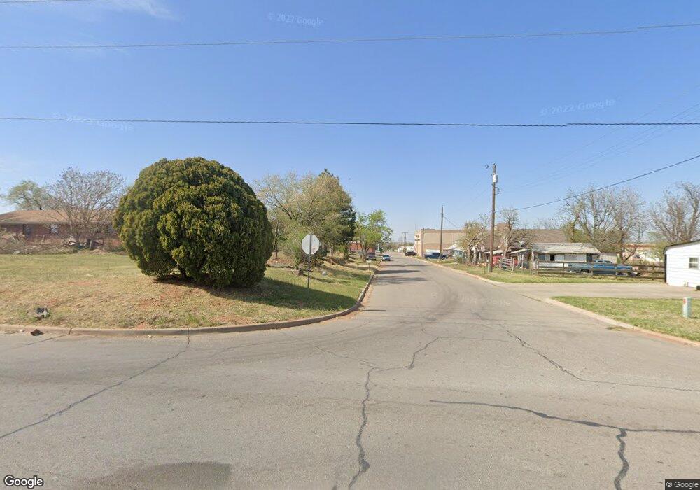
340 Rr 1 Clinton, OK 73601
Estimated Value: $196,638 - $368,000
3
Beds
2
Baths
2,066
Sq Ft
$143/Sq Ft
Est. Value
About This Home
This home is located at 340 Rr 1, Clinton, OK 73601 and is currently estimated at $295,160, approximately $142 per square foot. 340 Rr 1 is a home located in Washita County with nearby schools including Nance Elementary School, Southwest Elementary School, and Clinton Middle School.
Ownership History
Date
Name
Owned For
Owner Type
Purchase Details
Closed on
Nov 6, 2009
Sold by
Rosa Marie Rosa Marie
Bought by
Clark Shannon and Clark Jeffrey
Current Estimated Value
Create a Home Valuation Report for This Property
The Home Valuation Report is an in-depth analysis detailing your home's value as well as a comparison with similar homes in the area
Purchase History
| Date | Buyer | Sale Price | Title Company |
|---|---|---|---|
| Clark Shannon | -- | -- |
Source: Public Records
Tax History Compared to Growth
Tax History
| Year | Tax Paid | Tax Assessment Tax Assessment Total Assessment is a certain percentage of the fair market value that is determined by local assessors to be the total taxable value of land and additions on the property. | Land | Improvement |
|---|---|---|---|---|
| 2025 | $1,421 | $14,200 | $671 | $13,529 |
| 2024 | $1,421 | $14,455 | $671 | $13,784 |
| 2023 | $1,334 | $14,034 | $671 | $13,363 |
| 2022 | $1,179 | $13,787 | $671 | $13,116 |
| 2021 | $1,221 | $14,500 | $880 | $13,620 |
| 2020 | $1,263 | $14,665 | $880 | $13,785 |
| 2019 | $1,287 | $14,986 | $880 | $14,106 |
| 2018 | $1,291 | $15,152 | $880 | $14,272 |
| 2017 | $1,290 | $15,301 | $879 | $14,422 |
| 2016 | $1,243 | $14,857 | $845 | $14,012 |
| 2015 | $1,194 | $14,424 | $837 | $13,587 |
| 2014 | $1,194 | $14,004 | $814 | $13,190 |
Source: Public Records
Map
Nearby Homes
- 0 Hwy 183 70 Acres
- 22526 E 1070 Rd
- 2108 S 28th St
- 10 Acres+/- Ne4 of Section 35 Off Commerce Rd
- 0 W Commerce Rd
- 2724 Chapman Rd
- 8 Lombardy Place
- 12 Lombardy Place
- 16 Lombardy Place
- 20 Lombardy Place
- 2 Lombardy Place
- 6 Lombardy Place
- 1 Lombardy Place
- 5 Lombardy Place
- 9 Lombardy Place
- 21 Lombardy Place
- 13 Lombardy Place
- 0 Mulberry Ln & Lombardy Place
- 8 Mulberry Ln
- 17 Lombardy Place
