340 S Branch Rd Unit 114 Hillsborough, NJ 08844
Estimated Value: $78,571 - $770,000
--
Bed
--
Bath
--
Sq Ft
1,568
Sq Ft Lot
About This Home
This home is located at 340 S Branch Rd Unit 114, Hillsborough, NJ 08844 and is currently estimated at $316,643. 340 S Branch Rd Unit 114 is a home located in Somerset County with nearby schools including Hillsborough High School, Cherry Blossom Montessori School, and Brighthorizons at Hillsborough.
Ownership History
Date
Name
Owned For
Owner Type
Purchase Details
Closed on
Oct 10, 2024
Sold by
Kumar Manju
Bought by
Cam Group Llc
Current Estimated Value
Purchase Details
Closed on
Mar 31, 2010
Sold by
Atfh Real Property Llc
Bought by
Kumar Manju
Purchase Details
Closed on
Feb 19, 2010
Sold by
Atfh Real Property Llc
Bought by
Reoco Llc
Create a Home Valuation Report for This Property
The Home Valuation Report is an in-depth analysis detailing your home's value as well as a comparison with similar homes in the area
Home Values in the Area
Average Home Value in this Area
Purchase History
| Date | Buyer | Sale Price | Title Company |
|---|---|---|---|
| Cam Group Llc | $15,000 | Counsellors Title | |
| Cam Group Llc | $15,000 | Counsellors Title | |
| Kumar Manju | $30,000 | Ctl Title Ins Agency Inc | |
| Atfh Real Property Llc | -- | Ctl Title Ins Agency Inc | |
| Reoco Llc | -- | None Available |
Source: Public Records
Tax History Compared to Growth
Tax History
| Year | Tax Paid | Tax Assessment Tax Assessment Total Assessment is a certain percentage of the fair market value that is determined by local assessors to be the total taxable value of land and additions on the property. | Land | Improvement |
|---|---|---|---|---|
| 2025 | $529 | $15,000 | $15,000 | -- |
| 2024 | $529 | $24,700 | $8,300 | $16,400 |
| 2023 | $532 | $24,700 | $8,300 | $16,400 |
| 2022 | $534 | $23,900 | $7,500 | $16,400 |
| 2021 | $561 | $23,900 | $7,500 | $16,400 |
| 2020 | $570 | $23,900 | $7,500 | $16,400 |
| 2019 | $575 | $23,900 | $7,500 | $16,400 |
| 2018 | $578 | $23,900 | $7,500 | $16,400 |
| 2017 | $770 | $31,900 | $20,000 | $11,900 |
| 2016 | $891 | $36,900 | $25,000 | $11,900 |
| 2015 | $880 | $36,900 | $25,000 | $11,900 |
| 2014 | $950 | $40,700 | $28,800 | $11,900 |
Source: Public Records
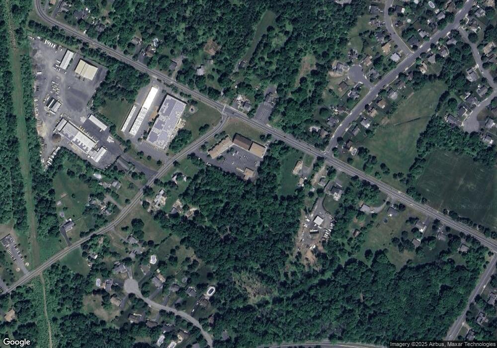
Map
Nearby Homes
- 71 Buckland Dr
- 0 Amwell Rd
- 436 Conover Dr
- 68 Dunedain St
- 710 Whitenack Ct
- 104 Devonshire Ct
- 73 Beechwood Cir
- 195 Beekman Ln
- 106 Perrine Pike
- 668 - E2 Marshall Rd
- 912 Merritt Dr Unit D
- 911 Merritt Dr Unit B2
- 902 Merritt Dr Unit E
- 303 Gemini Dr Unit 2B
- 13 Wesley Rd
- 7 Monfort Dr
- 118 Bluebird Dr Unit 3
- 107 Bluebird Dr Unit 1D
- 3120 Revere Ct
- 14 Runyon St
- 340 S Branch Rd Unit 435
- 340 S Branch Rd Unit 434
- 340 S Branch Rd Unit 433
- 340 S Branch Rd Unit 432
- 340 S Branch Rd Unit 431
- 340 S Branch Rd Unit 430
- 340 S Branch Rd Unit 429
- 340 S Branch Rd Unit 428
- 340 S Branch Rd Unit 427
- 340 S Branch Rd Unit 425
- 340 S Branch Rd Unit 424426
- 340 S Branch Rd Unit 407
- 340 S Branch Rd Unit 405
- 340 S Branch Rd Unit 403
- 340 S Branch Rd Unit 401
- 340 S Branch Rd Unit 400
- 340 S Branch Rd Unit 127
- 340 S Branch Rd Unit 113
- 340 S Branch Rd Unit 112
- 340 S Branch Rd Unit 111