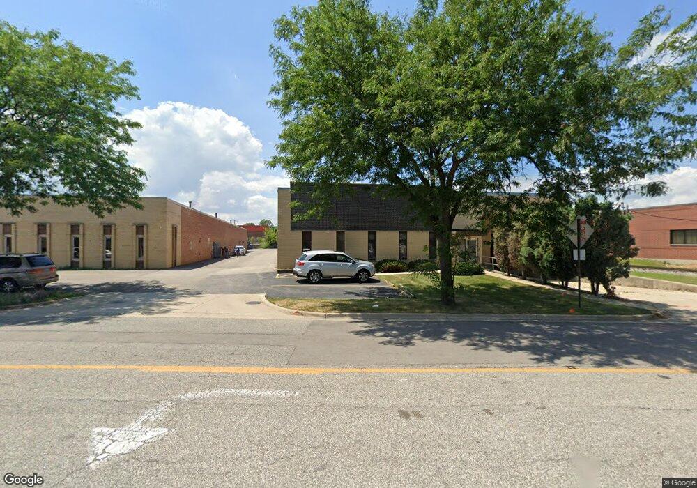
340 S Lombard Rd Addison, IL 60101
Estimated Value: $2,092,823
--
Bed
--
Bath
17,100
Sq Ft
$122/Sq Ft
Est. Value
About This Home
This home is located at 340 S Lombard Rd, Addison, IL 60101 and is currently estimated at $2,092,823, approximately $122 per square foot. 340 S Lombard Rd is a home located in DuPage County with nearby schools including Lake Park Elementary School, Indian Trail Jr High School, and Addison Trail High School.
Ownership History
Date
Name
Owned For
Owner Type
Purchase Details
Closed on
Jan 20, 2016
Sold by
Halmark Llc
Bought by
Robrich Holdings Llc
Current Estimated Value
Home Financials for this Owner
Home Financials are based on the most recent Mortgage that was taken out on this home.
Original Mortgage
$909,720
Interest Rate
3.95%
Mortgage Type
Future Advance Clause Open End Mortgage
Purchase Details
Closed on
Jul 1, 1999
Sold by
Firstar Bank Illinois
Bought by
Halmark Llc
Home Financials for this Owner
Home Financials are based on the most recent Mortgage that was taken out on this home.
Original Mortgage
$819,000
Interest Rate
7.28%
Mortgage Type
Commercial
Create a Home Valuation Report for This Property
The Home Valuation Report is an in-depth analysis detailing your home's value as well as a comparison with similar homes in the area
Home Values in the Area
Average Home Value in this Area
Purchase History
| Date | Buyer | Sale Price | Title Company |
|---|---|---|---|
| Robrich Holdings Llc | $1,137,500 | Ctic | |
| Halmark Llc | $910,000 | -- |
Source: Public Records
Mortgage History
| Date | Status | Borrower | Loan Amount |
|---|---|---|---|
| Closed | Robrich Holdings Llc | $909,720 | |
| Previous Owner | Halmark Llc | $819,000 |
Source: Public Records
Tax History Compared to Growth
Tax History
| Year | Tax Paid | Tax Assessment Tax Assessment Total Assessment is a certain percentage of the fair market value that is determined by local assessors to be the total taxable value of land and additions on the property. | Land | Improvement |
|---|---|---|---|---|
| 2024 | $42,675 | $605,481 | $115,688 | $489,793 |
| 2023 | $40,974 | $556,610 | $106,350 | $450,260 |
| 2022 | $36,602 | $496,980 | $99,770 | $397,210 |
| 2021 | $35,159 | $476,030 | $95,560 | $380,470 |
| 2020 | $34,293 | $455,960 | $91,530 | $364,430 |
| 2019 | $34,139 | $438,420 | $88,010 | $350,410 |
| 2018 | $30,999 | $381,860 | $83,420 | $298,440 |
| 2017 | $32,967 | $397,170 | $79,730 | $317,440 |
| 2016 | $32,273 | $366,690 | $73,610 | $293,080 |
| 2015 | $31,665 | $338,740 | $68,000 | $270,740 |
| 2014 | $31,246 | $332,100 | $66,670 | $265,430 |
| 2013 | $30,560 | $338,880 | $68,030 | $270,850 |
Source: Public Records
Map
Nearby Homes
- 21 Belden Ave
- 426 W Fullerton Ave
- 90 N Prairie Dr
- LOT 2 Armitage Ave
- 20W561 Army Trail Blvd
- 1801 W Army Trail Rd
- Lots 3 & 4 Helen St
- Lots 15-20 Alma Ave
- +/-1.51 Acres Lake St
- 522 N Castle Rd
- 147 W North Ave
- 2N253 Swift Rd
- 1711 W Woodland Ave
- 768 W St Johns Place
- 769 W Fairway Dr
- 580 N Highlander Way
- 621 W Natalie Ln
- 1750 W Woodland Ave
- 110 S Evergreen Ave
- 84 N Mill Rd
- 1540 W Wrightwood Ct
- 1490 W Bernard Dr Unit E
- 1544 W Wrightwood Ct
- 1405 W Fullerton Ave
- 1410 W Bernard Dr
- 1242 W Capitol Dr
- 1232 W Capitol Dr Unit C
- 1405 W Bernard Dr Unit B2
- 1405 W Bernard Dr Unit B1
- 1410 W Jeffrey Dr
- 303 S Rohlwing Rd
- 1395 Jeffrey Dr
- 3N208 Rohlwing Rd
- 3N220 Rohlwing Rd
- 1140 W Fullerton Ave
- 3N232 Rohlwing Rd Unit 1
- 3N244 Rohlwing Rd
- 3N260 Rohlwing Rd
- 1130 W Fullerton Ave
- 20W281 Diversey Ave