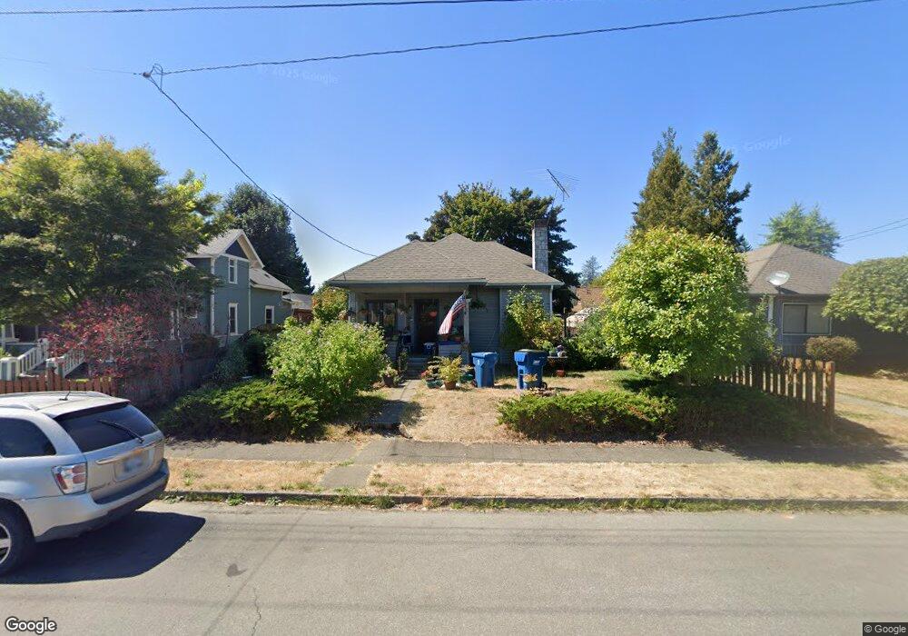
340 S Sams St Monroe, WA 98272
Estimated Value: $537,000 - $579,000
3
Beds
1
Bath
1,393
Sq Ft
$400/Sq Ft
Est. Value
About This Home
This home is located at 340 S Sams St, Monroe, WA 98272 and is currently estimated at $557,745, approximately $400 per square foot. 340 S Sams St is a home located in Snohomish County with nearby schools including Frank Wagner Elementary School, Monroe High School, and Monroe Montessori School.
Ownership History
Date
Name
Owned For
Owner Type
Purchase Details
Closed on
Jan 14, 1998
Sold by
Pool Franklyn and Pool Valerie
Bought by
Myers William N and Myers Sue H
Current Estimated Value
Home Financials for this Owner
Home Financials are based on the most recent Mortgage that was taken out on this home.
Original Mortgage
$134,400
Outstanding Balance
$23,305
Interest Rate
7.13%
Mortgage Type
VA
Estimated Equity
$534,440
Create a Home Valuation Report for This Property
The Home Valuation Report is an in-depth analysis detailing your home's value as well as a comparison with similar homes in the area
Home Values in the Area
Average Home Value in this Area
Purchase History
| Date | Buyer | Sale Price | Title Company |
|---|---|---|---|
| Myers William N | $130,500 | Chicago Title Insurance Co |
Source: Public Records
Mortgage History
| Date | Status | Borrower | Loan Amount |
|---|---|---|---|
| Open | Myers William N | $134,400 |
Source: Public Records
Tax History Compared to Growth
Tax History
| Year | Tax Paid | Tax Assessment Tax Assessment Total Assessment is a certain percentage of the fair market value that is determined by local assessors to be the total taxable value of land and additions on the property. | Land | Improvement |
|---|---|---|---|---|
| 2025 | $3,481 | $456,100 | $297,000 | $159,100 |
| 2024 | $3,481 | $430,900 | $277,000 | $153,900 |
| 2023 | $3,561 | $478,200 | $297,000 | $181,200 |
| 2022 | $3,317 | $355,300 | $211,000 | $144,300 |
| 2020 | $2,942 | $303,700 | $189,000 | $114,700 |
| 2019 | $2,678 | $272,900 | $164,000 | $108,900 |
| 2018 | $2,880 | $240,400 | $139,000 | $101,400 |
| 2017 | $2,424 | $211,700 | $122,000 | $89,700 |
| 2016 | $2,316 | $186,100 | $100,000 | $86,100 |
| 2015 | $2,097 | $158,600 | $83,000 | $75,600 |
| 2013 | $2,046 | $141,500 | $64,000 | $77,500 |
Source: Public Records
Map
Nearby Homes
- 520 S Kelsey St
- 523 Park St
- 216 S Blakeley St
- 234 S Ferry Ave
- 364 W Elizabeth St
- 335 N Madison St
- 149 Charles St
- 700 W Maple St
- 620 North St
- 15327 182nd Ave SE
- 18621 Blueberry Ln Unit A204
- 16311 177th Ave SE
- 17521 160th St SE
- 17510 W Main St Unit C103
- 19769 Mountain Ridge Rd SE
- 17260 Keri Place SE
- 17815 149th St SE Unit 14
- 17803 149th St SE Unit 11
- 14369 Autumns Ave SE
- 16951 Tulip Ln
- 332 S Sams St
- 330 S Sams St
- 503 Roberts St
- 354 S Sams St
- 354 S Sams St Unit Lot14
- 354 S Sams St Unit Lot13
- 381 Adams Ln
- 504 Roberts St
- 318 Adams Ln
- 510 Roberts St
- 362 S Sams St
- 312 S Sams St
- 337 S Sams St
- 321 S Sams St
- 512 Roberts St
- 349 S Sams St
- 308 S Sams St
- 357 S Sams St
- 315 S Sams St
- 321 Adams Ln