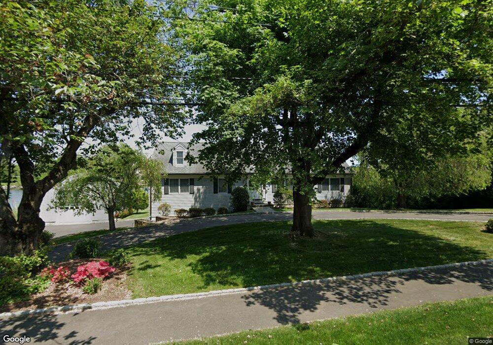
340 Shore Rd Greenwich, CT 06830
Belle Haven NeighborhoodEstimated Value: $2,655,344 - $4,649,000
2
Beds
3
Baths
2,520
Sq Ft
$1,368/Sq Ft
Est. Value
About This Home
This home is located at 340 Shore Rd, Greenwich, CT 06830 and is currently estimated at $3,446,336, approximately $1,367 per square foot. 340 Shore Rd is a home located in Fairfield County with nearby schools including Julian Curtiss School, Central Middle School, and Greenwich High School.
Ownership History
Date
Name
Owned For
Owner Type
Purchase Details
Closed on
Sep 12, 2025
Sold by
Anderson Thomas L and Anderson Jane L
Bought by
Jane L Anderson Ret and Anderson
Current Estimated Value
Purchase Details
Closed on
Aug 3, 1994
Sold by
Farrell Clifford H and Farrell Edna M
Bought by
Anderson Thomas L and Anderson Jane L
Home Financials for this Owner
Home Financials are based on the most recent Mortgage that was taken out on this home.
Original Mortgage
$175,000
Interest Rate
5.25%
Create a Home Valuation Report for This Property
The Home Valuation Report is an in-depth analysis detailing your home's value as well as a comparison with similar homes in the area
Home Values in the Area
Average Home Value in this Area
Purchase History
| Date | Buyer | Sale Price | Title Company |
|---|---|---|---|
| Jane L Anderson Ret | -- | -- | |
| Thomas L Anderson Ret | -- | -- | |
| Anderson Thomas L | $65,500 | -- | |
| Anderson Thomas L | $65,500 | -- |
Source: Public Records
Mortgage History
| Date | Status | Borrower | Loan Amount |
|---|---|---|---|
| Previous Owner | Anderson Thomas L | $175,000 |
Source: Public Records
Tax History Compared to Growth
Tax History
| Year | Tax Paid | Tax Assessment Tax Assessment Total Assessment is a certain percentage of the fair market value that is determined by local assessors to be the total taxable value of land and additions on the property. | Land | Improvement |
|---|---|---|---|---|
| 2025 | $25,521 | $2,065,000 | $1,896,300 | $168,700 |
| 2024 | $24,648 | $2,065,000 | $1,896,300 | $168,700 |
| 2023 | $24,028 | $2,065,000 | $1,896,300 | $168,700 |
| 2022 | $25,521 | $2,213,470 | $1,896,300 | $317,170 |
| 2021 | $20,842 | $1,731,030 | $1,294,160 | $436,870 |
| 2020 | $20,807 | $1,731,030 | $1,294,160 | $436,870 |
| 2019 | $21,015 | $1,731,030 | $1,294,160 | $436,870 |
| 2018 | $20,547 | $1,731,030 | $1,294,160 | $436,870 |
| 2017 | $20,805 | $1,731,030 | $1,294,160 | $436,870 |
| 2016 | $20,476 | $1,731,030 | $1,294,160 | $436,870 |
| 2015 | $19,243 | $1,613,710 | $1,373,330 | $240,380 |
| 2014 | $18,759 | $1,613,710 | $1,373,330 | $240,380 |
Source: Public Records
Map
Nearby Homes
- 630 Steamboat Rd Unit 2B
- 201 Shore Rd
- 636 Steamboat Rd Unit 3ABE
- 2 Vista Dr
- 150 Prospect St Unit 27
- 8 View St Unit 10
- 25 Woodland Dr Unit C
- 193 Hamilton Ave Unit 20
- 123 Hamilton Ave
- 33 Meadow Wood Dr
- 172 Field Point Rd Unit 9
- 41 Meadow Wood Dr
- 18 Grigg St
- 1 Sound View Terrace
- 125 Field Point Rd Unit PH B5
- 57 Prospect St
- 75 Ritch Ave Unit A
- 147 Holly Hill Ln Unit 2
- 147 Holly Hill Ln
- 90 Oneida Dr