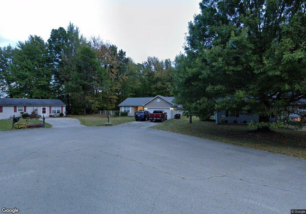
340 Spring Grove Dr Georgetown, OH 45121
Estimated Value: $211,000 - $240,000
3
Beds
2
Baths
1,409
Sq Ft
$161/Sq Ft
Est. Value
About This Home
This home is located at 340 Spring Grove Dr, Georgetown, OH 45121 and is currently estimated at $227,170, approximately $161 per square foot. 340 Spring Grove Dr is a home located in Brown County with nearby schools including Georgetown Elementary School and Georgetown Jr/Sr High School.
Ownership History
Date
Name
Owned For
Owner Type
Purchase Details
Closed on
Jun 15, 2007
Sold by
Siemer Steve P and Siemer Patricia H
Bought by
Burris Eugene F and Tolin Jennifer
Current Estimated Value
Home Financials for this Owner
Home Financials are based on the most recent Mortgage that was taken out on this home.
Original Mortgage
$118,750
Outstanding Balance
$72,702
Interest Rate
6.2%
Mortgage Type
Purchase Money Mortgage
Estimated Equity
$154,468
Purchase Details
Closed on
Jan 3, 2006
Sold by
Books David
Bought by
Siemer Steve P and Siemer Patricia A
Purchase Details
Closed on
Nov 23, 1999
Sold by
Hanley John
Bought by
Brooks David
Purchase Details
Closed on
Oct 5, 1994
Sold by
Grennan Thomas F
Bought by
Hanley John and Hanley Tammy
Create a Home Valuation Report for This Property
The Home Valuation Report is an in-depth analysis detailing your home's value as well as a comparison with similar homes in the area
Home Values in the Area
Average Home Value in this Area
Purchase History
| Date | Buyer | Sale Price | Title Company |
|---|---|---|---|
| Burris Eugene F | $125,000 | Attorney | |
| Siemer Steve P | $19,500 | None Available | |
| Brooks David | $10,500 | -- | |
| Hanley John | $11,000 | -- |
Source: Public Records
Mortgage History
| Date | Status | Borrower | Loan Amount |
|---|---|---|---|
| Open | Burris Eugene F | $118,750 |
Source: Public Records
Tax History
| Year | Tax Paid | Tax Assessment Tax Assessment Total Assessment is a certain percentage of the fair market value that is determined by local assessors to be the total taxable value of land and additions on the property. | Land | Improvement |
|---|---|---|---|---|
| 2024 | $2,174 | $61,390 | $4,030 | $57,360 |
| 2023 | $2,175 | $42,440 | $3,390 | $39,050 |
| 2022 | $1,637 | $42,440 | $3,390 | $39,050 |
| 2021 | $1,622 | $42,440 | $3,390 | $39,050 |
| 2020 | $1,435 | $35,360 | $2,820 | $32,540 |
| 2019 | $1,424 | $35,360 | $2,820 | $32,540 |
| 2018 | $1,414 | $35,360 | $2,820 | $32,540 |
| 2017 | $1,046 | $31,030 | $2,770 | $28,260 |
| 2016 | $1,045 | $31,030 | $2,770 | $28,260 |
| 2015 | $1,095 | $31,030 | $2,770 | $28,260 |
| 2014 | $1,095 | $30,780 | $2,520 | $28,260 |
| 2013 | $1,091 | $30,780 | $2,520 | $28,260 |
Source: Public Records
Map
Nearby Homes
- 427 Kenwood Ave
- 1 N Kenwood Ave
- 2 N Kenwood Ave
- 399 Elmwood Ct
- 508 Mount Orab Pike
- 60 New St
- 406 E North St
- 405 N Main St
- 666 E State St
- 505 S Water St
- 708 E State St
- 510 W State St
- 25 Douglas Ln
- 155 Free Soil Rd
- 175 Douglas Cir
- 0 St Rt 221 & Footbridge Unit 1826509
- 20 Heritage Hill Dr
- 38 Dell Acres Dr
- 470 Free Soil Rd
- 3486 Barnes Rd
- 330 Spring Grove Dr
- 350 Spring Grove Dr
- 320 Spring Grove Dr
- 347 Spring Grove Dr
- 341 Spring Grove Dr
- 310 Spring Grove Dr
- 321 Spring Grove Dr
- 311 Spring Grove Dr
- 301 Spring Grove Dr
- 201 Spring Meadow Dr
- 115 Spring Meadow Dr
- 113 Spring Meadow Dr
- 65 N Kenwood Ave
- 202 Spring Meadow Dr
- 200 Spring Meadow Dr
- 64 N Kenwood Ave
- 64 N Kenwood Ave
- 64 N Kenwood Ave
- 64 N Kenwood Ave
- 118 Spring Meadow Dr
Your Personal Tour Guide
Ask me questions while you tour the home.