340 Tranquility Dr Burnsville, NC 28714
Estimated Value: $337,000 - $539,000
2
Beds
2
Baths
1,573
Sq Ft
$259/Sq Ft
Est. Value
About This Home
This home is located at 340 Tranquility Dr, Burnsville, NC 28714 and is currently estimated at $407,930, approximately $259 per square foot. 340 Tranquility Dr is a home with nearby schools including Mountain Heritage High School.
Ownership History
Date
Name
Owned For
Owner Type
Purchase Details
Closed on
May 29, 2025
Sold by
Tyson Janis B
Bought by
Tyson Janis B and Tyson Ray L
Current Estimated Value
Purchase Details
Closed on
Aug 15, 2008
Sold by
Hurewitz Victoria R
Bought by
Rollman Mamie and Rollman Tony E
Purchase Details
Closed on
May 1, 2006
Sold by
Citifinancial Mortgage Co Inc
Bought by
Tyson Janis B
Home Financials for this Owner
Home Financials are based on the most recent Mortgage that was taken out on this home.
Original Mortgage
$77,450
Interest Rate
6.41%
Mortgage Type
New Conventional
Purchase Details
Closed on
Mar 24, 2006
Sold by
Vamum Mauriel Trena and Owensby Alden
Bought by
Citifinancial Mortgage Co Inc
Home Financials for this Owner
Home Financials are based on the most recent Mortgage that was taken out on this home.
Original Mortgage
$77,450
Interest Rate
6.41%
Mortgage Type
New Conventional
Create a Home Valuation Report for This Property
The Home Valuation Report is an in-depth analysis detailing your home's value as well as a comparison with similar homes in the area
Home Values in the Area
Average Home Value in this Area
Purchase History
| Date | Buyer | Sale Price | Title Company |
|---|---|---|---|
| Tyson Janis B | -- | None Listed On Document | |
| Tyson Janis B | -- | None Listed On Document | |
| Rollman Mamie | $470,000 | None Available | |
| Tyson Janis B | $133,000 | None Available | |
| Citifinancial Mortgage Co Inc | $102,816 | None Available |
Source: Public Records
Mortgage History
| Date | Status | Borrower | Loan Amount |
|---|---|---|---|
| Previous Owner | Tyson Janis B | $77,450 |
Source: Public Records
Tax History Compared to Growth
Tax History
| Year | Tax Paid | Tax Assessment Tax Assessment Total Assessment is a certain percentage of the fair market value that is determined by local assessors to be the total taxable value of land and additions on the property. | Land | Improvement |
|---|---|---|---|---|
| 2025 | $1,375 | $245,500 | $84,000 | $161,500 |
| 2024 | $1,375 | $245,500 | $84,000 | $161,500 |
| 2023 | $824 | $128,780 | $29,800 | $98,980 |
| 2022 | $808 | $128,780 | $29,800 | $98,980 |
| 2021 | $824 | $128,780 | $29,800 | $98,980 |
| 2020 | $824 | $128,780 | $29,800 | $98,980 |
| 2019 | $824 | $128,780 | $29,800 | $98,980 |
| 2018 | $824 | $128,780 | $29,800 | $98,980 |
| 2017 | $824 | $128,780 | $29,800 | $98,980 |
| 2016 | $824 | $128,780 | $29,800 | $98,980 |
| 2015 | $779 | $137,070 | $34,500 | $102,570 |
| 2014 | $740 | $137,070 | $34,500 | $102,570 |
Source: Public Records
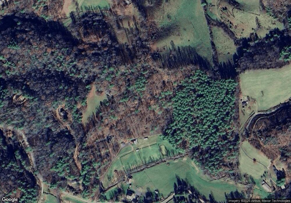
Map
Nearby Homes
- 71 Banks Creek Rd
- TBD Banks Creek Rd
- 00 Prices Creek Rd
- 300 Dogwood Ln
- 124 W Dogwood Cir
- 000 Mountain Air Dr
- 00 Riverside Hills Rd Unit 9
- 456 Maney Branch Rd
- 000 Maney Branch Rd
- 456 & 000 Maney Branch Rd
- 81 River Look Dr
- 117 River Look Dr
- 9999 River Edge Dr Unit 2
- 456 Spring House Dr
- 222 Creekside Way Unit D-101
- 222 Creekside Way Unit D-102
- 47 Creekside Way Unit H/102
- 47 Creekside Way Unit H/301
- LOT 13 Austin Mountain Dr Unit 13/3
- Lot 53 Mountain Air Dr Unit 53/1
- 115 Tranquility Dr
- 771 Banks Creek Rd
- 235 Daddy Bobs Dr
- 1014 Banks Creek Rd
- 925 Banks Creek Rd
- 952 Banks Creek Rd
- 1178 Banks Creek Rd
- 380 Silver Maple Ln
- 0 Daddy Bobs Dr Unit 3246176
- 728 Banks Creek Rd
- 1784 Phipps Creek Rd
- 531 Banks Creek Rd
- 96 Silver Maple Ln
- 73 Will Anglin Rd
- 1064 Banks Creek Rd
- 785 Cane River Church Rd
- 379 Banks Creek Rd
- 11 Truckers Ln
- 28 Silver Maple Ln
- 000 Phipps Creek Rd