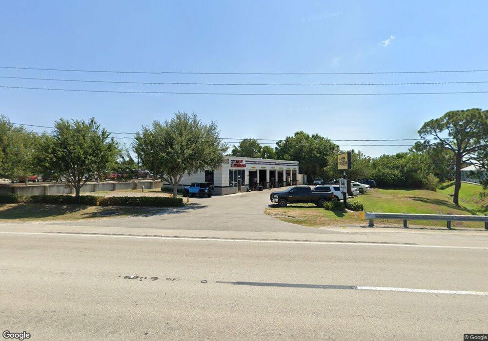
340 Us Highway 27 N Sebring, FL 33870
Estimated Value: $3,123,457
--
Bed
1
Bath
4,785
Sq Ft
$653/Sq Ft
Est. Value
About This Home
This home is located at 340 Us Highway 27 N, Sebring, FL 33870 and is currently priced at $3,123,457, approximately $652 per square foot. 340 Us Highway 27 N is a home located in Highlands County with nearby schools including Sebring High School, Woodlawn Elementary School, and Hill-Gustat Middle School.
Ownership History
Date
Name
Owned For
Owner Type
Purchase Details
Closed on
Jun 20, 2014
Sold by
340 Us 27 Sebring Fl Llc
Bought by
Black Susanne F
Current Estimated Value
Purchase Details
Closed on
Jun 20, 2012
Sold by
G & M Of Kissimmee Inc
Bought by
340 Us 27 Sebring Fl Llc
Home Financials for this Owner
Home Financials are based on the most recent Mortgage that was taken out on this home.
Original Mortgage
$550,000
Interest Rate
3.83%
Mortgage Type
Commercial
Create a Home Valuation Report for This Property
The Home Valuation Report is an in-depth analysis detailing your home's value as well as a comparison with similar homes in the area
Home Values in the Area
Average Home Value in this Area
Purchase History
| Date | Buyer | Sale Price | Title Company |
|---|---|---|---|
| Black Susanne F | $1,300,000 | Attorney | |
| 340 Us 27 Sebring Fl Llc | $300,000 | Edgewater Title Company Inc |
Source: Public Records
Mortgage History
| Date | Status | Borrower | Loan Amount |
|---|---|---|---|
| Previous Owner | 340 Us 27 Sebring Fl Llc | $550,000 |
Source: Public Records
Tax History Compared to Growth
Tax History
| Year | Tax Paid | Tax Assessment Tax Assessment Total Assessment is a certain percentage of the fair market value that is determined by local assessors to be the total taxable value of land and additions on the property. | Land | Improvement |
|---|---|---|---|---|
| 2024 | $8,108 | $393,739 | $189,943 | $203,796 |
| 2023 | $8,108 | $391,234 | $0 | $0 |
| 2022 | $7,262 | $356,719 | $156,212 | $200,507 |
| 2021 | $6,830 | $323,334 | $156,212 | $167,122 |
| 2020 | $5,141 | $322,029 | $0 | $0 |
| 2019 | $5,117 | $320,692 | $0 | $0 |
| 2018 | $5,179 | $321,602 | $0 | $0 |
| 2017 | $5,115 | $322,272 | $0 | $0 |
| 2016 | $5,234 | $320,991 | $0 | $0 |
| 2015 | $5,444 | $329,150 | $0 | $0 |
| 2014 | $5,366 | $0 | $0 | $0 |
Source: Public Records
Map
Nearby Homes
- 6024 Leland Ln Unit 31
- 11231 Us-27 S
- 4300 Us-27 S
- 1920 Brunns (Lot 52) Rd
- 1507 Caribbean Rd
- 1323 Chloe Terrace
- 1528 Caribbean Rd
- 122 Sparrow Ave
- 2112 Caribbean Rd E
- 1608 Sunny Pines Dr
- 1548 Saint Thomas Ave
- 1200 US Highway 27 N Unit 126
- 1200 US Highway 27 N
- 1200 US Highway 27 N Unit 91
- 1200 US Highway 27 N Unit 101
- 2123 Burning Tree Cir
- #19 1200 Us 27
- 337 Us Highway 27 S
- 1737 E Robin Ave
- 60 Sunny Pines Dr
- 4630 Lakeview Dr
- 4640 Lakeview Dr
- 4620 Lakeview Dr
- 4650 Lakeview Dr
- 4610 Lakeview Dr
- 0 Us Hwy 27 S Unit M5842321
- 4600 Lakeview Dr
- 315 Us Highway 27 N Unit A6
- 441 Us Highway 27 N
- 313 Us Highway 27 N
- 4580 Lakeview Dr
- 305 Us Highway 27 N Unit 1
- 305 Us Highway 27 N Unit A1
- 311 Us Highway 27 N Unit A4
- 307 Us Highway 27 N Unit A2
- 1448 Clearview Ct
- 4570 Lakeview Dr
- 1501 Clearview Ct
- 1505 Clearview Ct
- 1509 Clearview Ct